Download this this route and other routes in the Gulf Island, Desolation Sound and The Broughtons. Download so you can use them offline on your phone, tablet, or laptop when you cruising.
https://bc.boatinglocations.com/route-downloads/
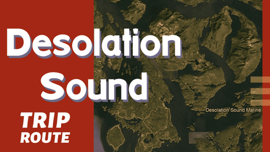
Broughtons Trip Route for 8 days
Starting at Nanaimo and ending at Nanaimo
Total Trip Distance: 398.7 miles / 641.6 km / 458.8 NM
| Day | Route | Nights Staying Here | Distance |
| 1 | Nanaimo to Powell River | 1 | 59.8 miles / 96.2 km / 68.8 NM |
| 2 | Powell River to Kelsey Bay Marina | 1 | 86.8 miles / 139.7 km / 99.9 NM |
| 3 | Kelsey Bay Marina to Lagoon Cove | 1 | 30.9 miles / 49.7 km / 35.6 NM |
| 4 | Lagoon Cove to No Name Bay | 1 | 16.1 miles / 25.9 km / 18.5 NM |
| 5 | No Name Bay to Telegraph Cove | 1 | 14.6 miles / 23.5 km / 16.8 NM |
| 6 | Telegraph Cove to Port Neville | 1 | 34.6 miles / 55.7 km / 39.8 NM |
| 7 | Port Neville to Blind Channel Resort | 1 | 30.5 miles / 49.1 km / 35.1 NM |
| 8 | Blind Channel Resort to Brown’s Bay Resort | 1 | 24.4 miles / 39.3 km / 28.1 NM |
| 9 | Brown’s Bay Resort to Nanaimo | 0 | 101.0 miles / 162.5 km / 116.2 NM |
Day 1: Nanaimo to Powell River
Travel distance: 59.8
Nights staying: 1
Your Destination Powell River
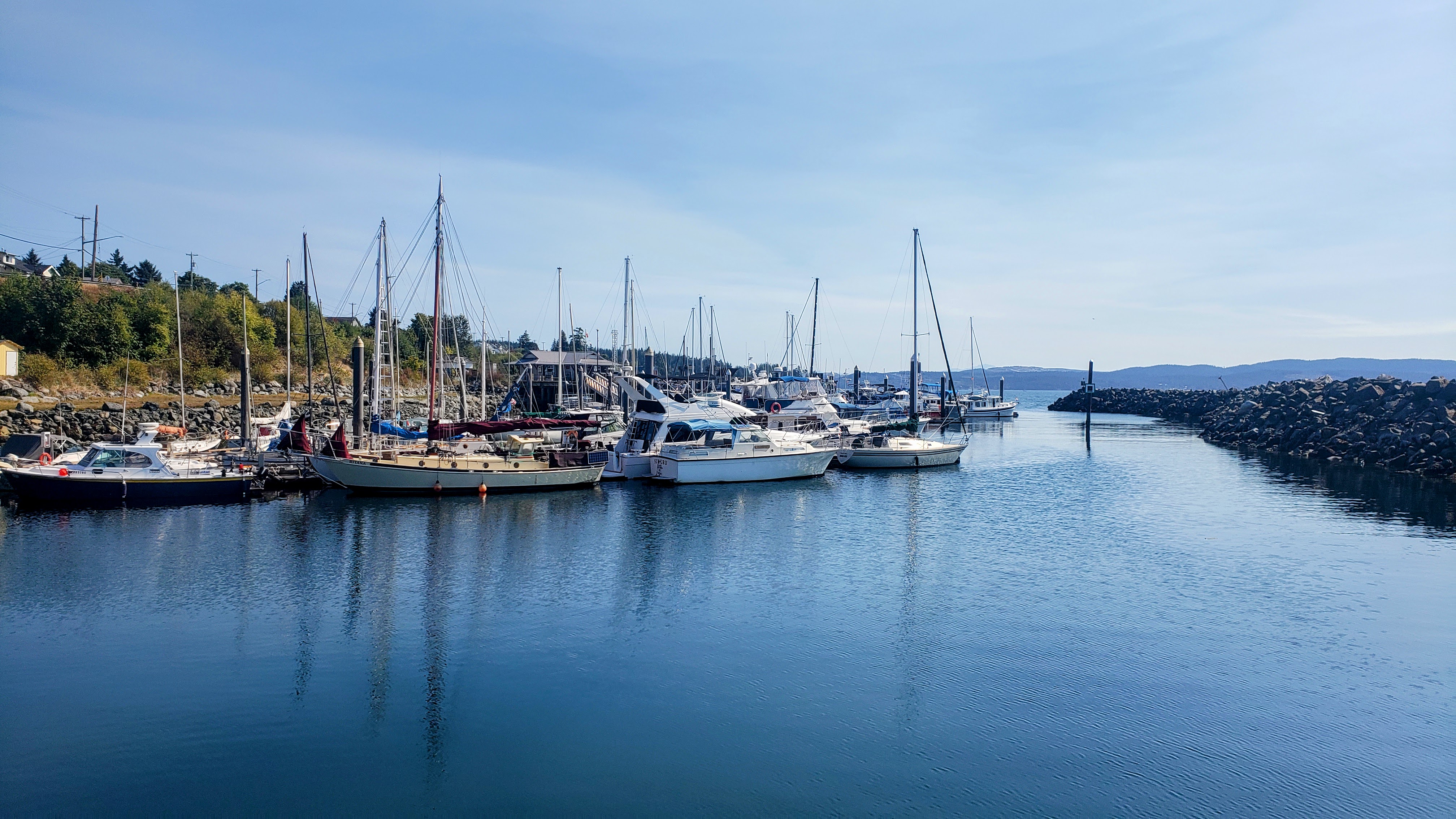
Powell River.
Westview
Straight of Georgia
Coordinates Decimal: 49.834, -124.531
Coordinates Degrees Minutes Seconds(DMS): 49° 50′ 3.120″N, -125° 28′ 9.984″W
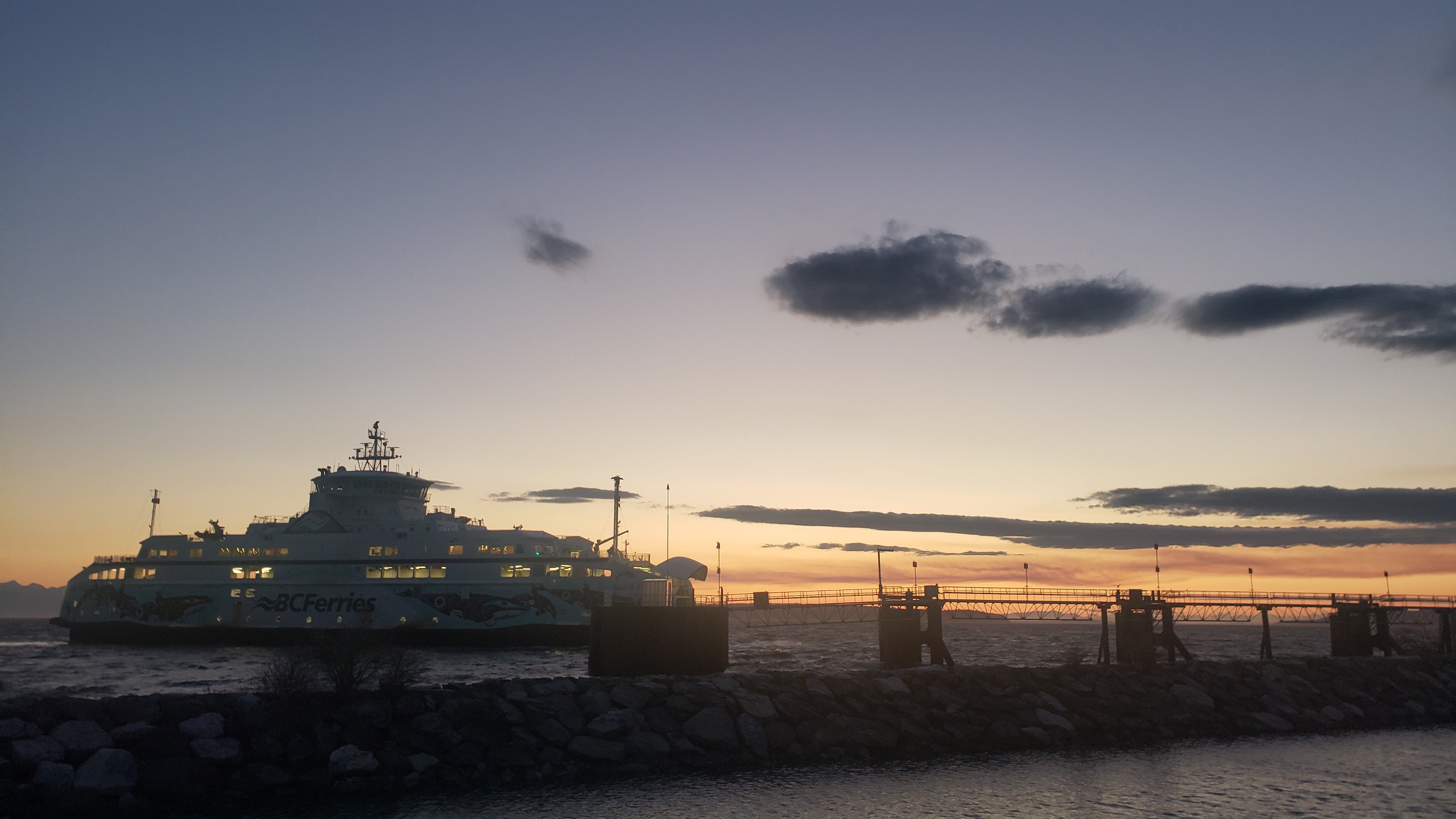 Powell River |
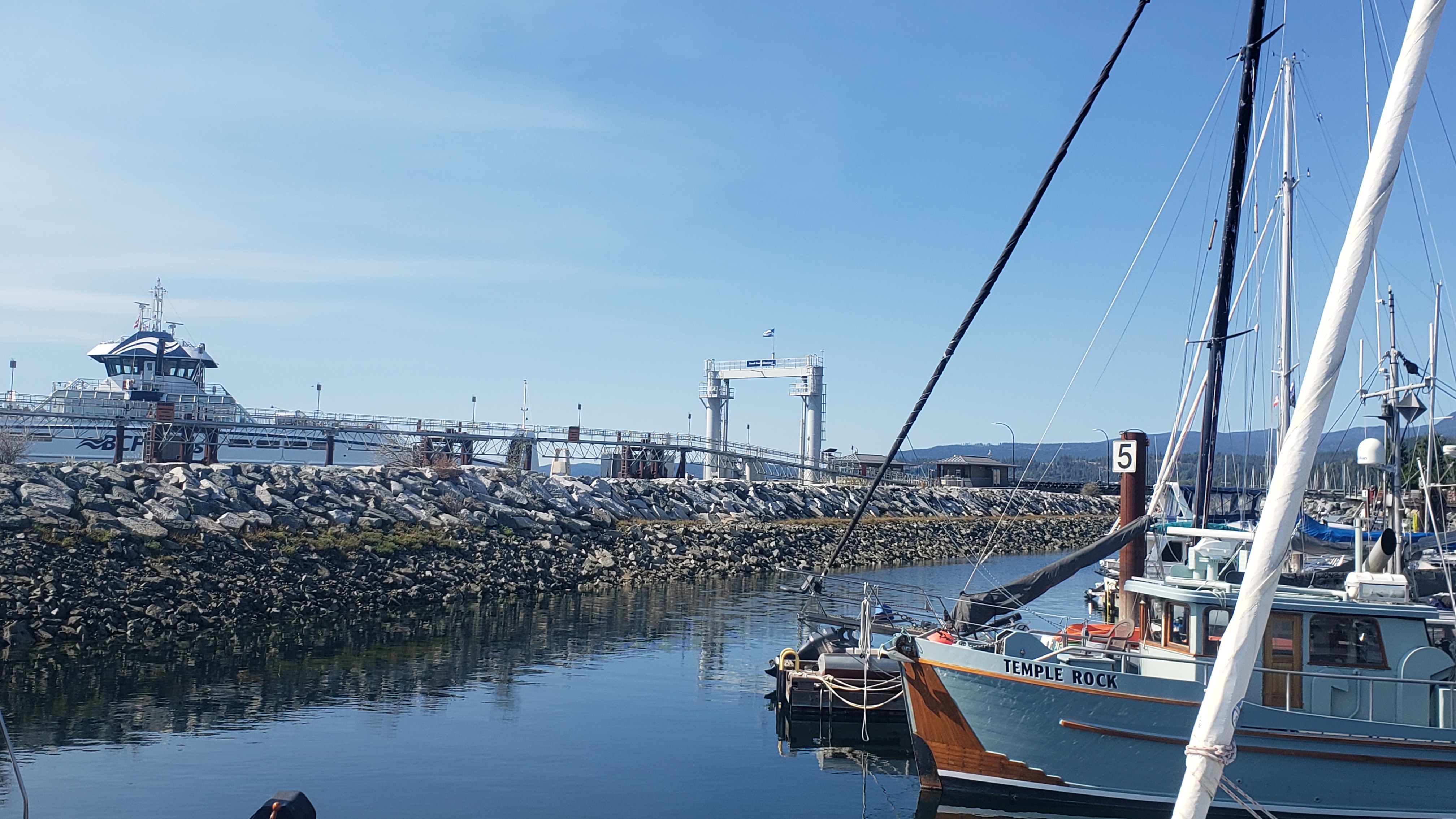 Powell River |
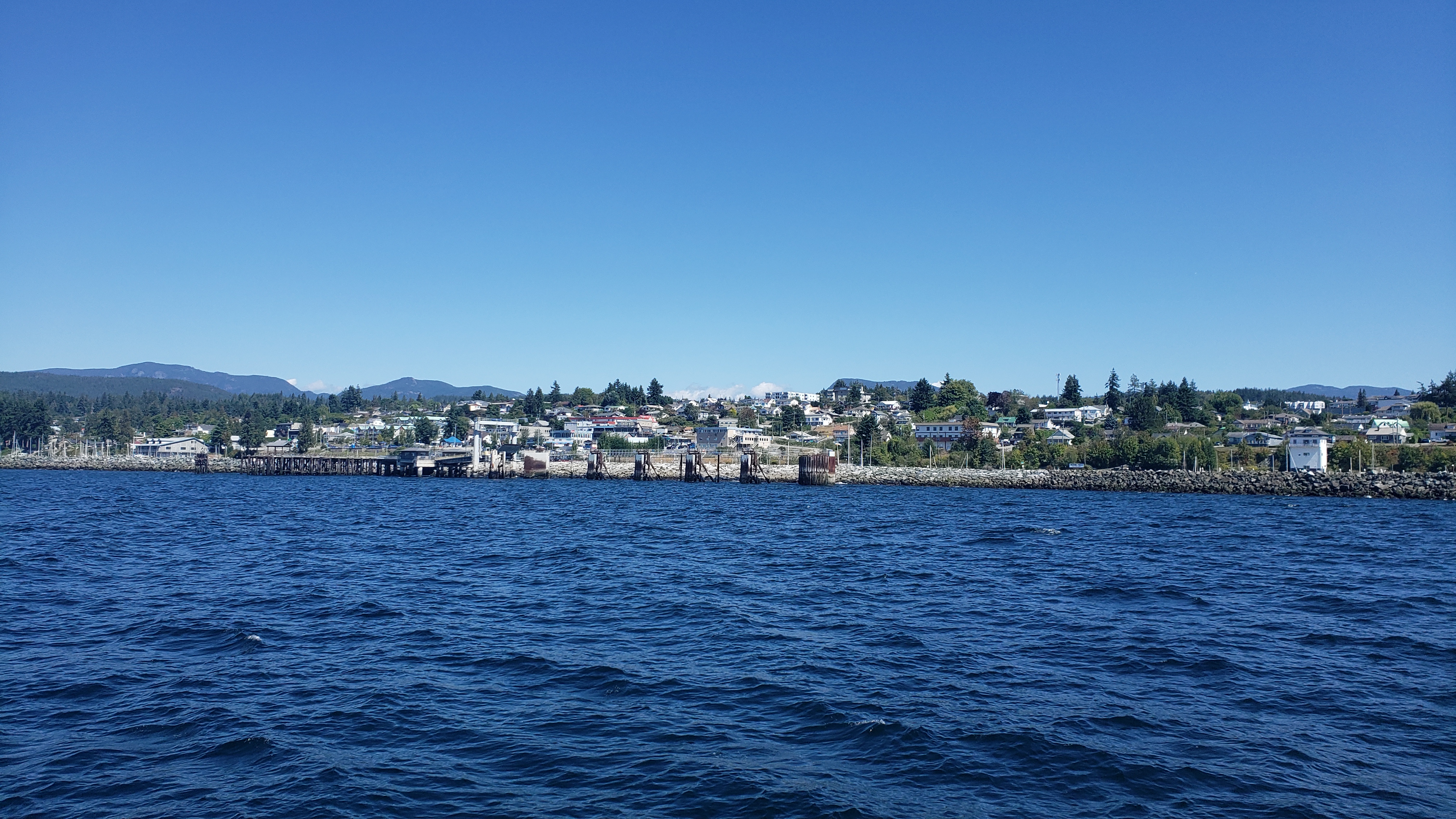 Powell River |
Day 2: Powell River to Kelsey Bay Marina
Travel distance: 86.8
Nights staying: 1
Your Destination Kelsey Bay Marina
Broughtons / Blackfish Sound
Coordinates Decimal: 50.396, -125.960
Coordinates Degrees Minutes Seconds(DMS): 50° 23′ 45.600″N, -126° 2′ 24.000″W
Day 3: Kelsey Bay Marina to Lagoon Cove
Travel distance: 30.9
Nights staying: 1
Your Destination Lagoon Cove
Broughtons / Blackfish Sound
Coordinates Decimal: 50.599, -126.317
Coordinates Degrees Minutes Seconds(DMS): 50° 35′ 55.320″N, -127° 40′ 59.520″W
Day 4: Lagoon Cove to No Name Bay
Travel distance: 16.1
Nights staying: 1
Your Destination No Name Bay
Broughtons / Blackfish Sound
Coordinates Decimal: 50.666, -126.616
Coordinates Degrees Minutes Seconds(DMS): 50° 39′ 56.160″N, -127° 23′ 1.680″W
Day 5: No Name Bay to Telegraph Cove
Travel distance: 14.6
Nights staying: 1
Your Destination Telegraph Cove
Broughtons / Blackfish Sound
Coordinates Decimal: 50.546, -126.833
Coordinates Degrees Minutes Seconds(DMS): 50° 32′ 46.320″N, -127° 9′ 59.760″W
Telegraph Cove, tucked away on the eastern coast of Northern Vancouver Island in British Columbia’s Broughton Archipelago, is a charming village that seems to capture the very essence of coastal life in the Pacific Northwest. This historic community, once a one-room telegraph station, has transformed into a sought-after destination for nature enthusiasts, adventure seekers, and those longing for a serene escape.
With its colorful boardwalks, lovingly preserved historic buildings, and breathtaking views of the sheltered cove and dense, forested hillsides, Telegraph Cove is a photographer’s dream and a haven for travelers looking to immerse themselves in nature.
One of the significant highlights of Telegraph Cove is its incredible marine life. Known as a gateway for whale watching, the waters surrounding the cove are home to orcas, humpback whales, minke whales, and dolphins. Visitors can embark on guided tours led by knowledgeable local experts, offering unparalleled opportunities to observe these majestic creatures in their natural habitat.
Beyond whales, the region is also renowned for fishing, kayaking, and bird watching. Adventurous souls can explore the rugged coastline, hidden inlets, and remote islands that define the landscape, or venture into the wilderness on hiking trails that wind through the lush, temperate rainforest.
For those interested in the area’s rich history and ecology, the local museum and ecological centers provide fascinating insights into the Cove’s past, its indigenous culture, and the diverse ecosystems that make the region so unique.
Telegraph Cove’s accommodation options range from quaint bed-and-breakfasts to family-friendly resorts, all offering warm hospitality and panoramic views of the surroundings. Dining in the Cove means enjoying fresh local seafood and other culinary delights, often served with a side of spectacular sunset views over the water.
Whether it’s the thrill of spotting a breaching whale, the tranquility of paddling through serene waters, or the simple pleasure of strolling along the historic boardwalk, Telegraph Cove in the Broughtons of British Columbia offers a magical blend of natural beauty, outdoor adventure, and timeless charm. It’s a place where memories are created, and the connection with nature is rekindled, providing an unforgettable experience for all who visit.
Download this this route and other routes in the Gulf Island, Desolation Sound and The Broughtons. Download so you can use them offline on your phone, tablet, or laptop when you cruising.
https://bc.boatinglocations.com/route-downloads/
Day 6: Telegraph Cove to Port Neville
Travel distance: 34.6
Nights staying: 1
Your Destination Port Neville
Broughtons / Blackfish Sound
Coordinates Decimal: 50.494, -126.092
Coordinates Degrees Minutes Seconds(DMS): 50° 29′ 38.400″N, -127° 54′ 28.800″W
Day 7: Port Neville to Blind Channel Resort
Travel distance: 30.5
Nights staying: 1
Your Destination Blind Channel Resort
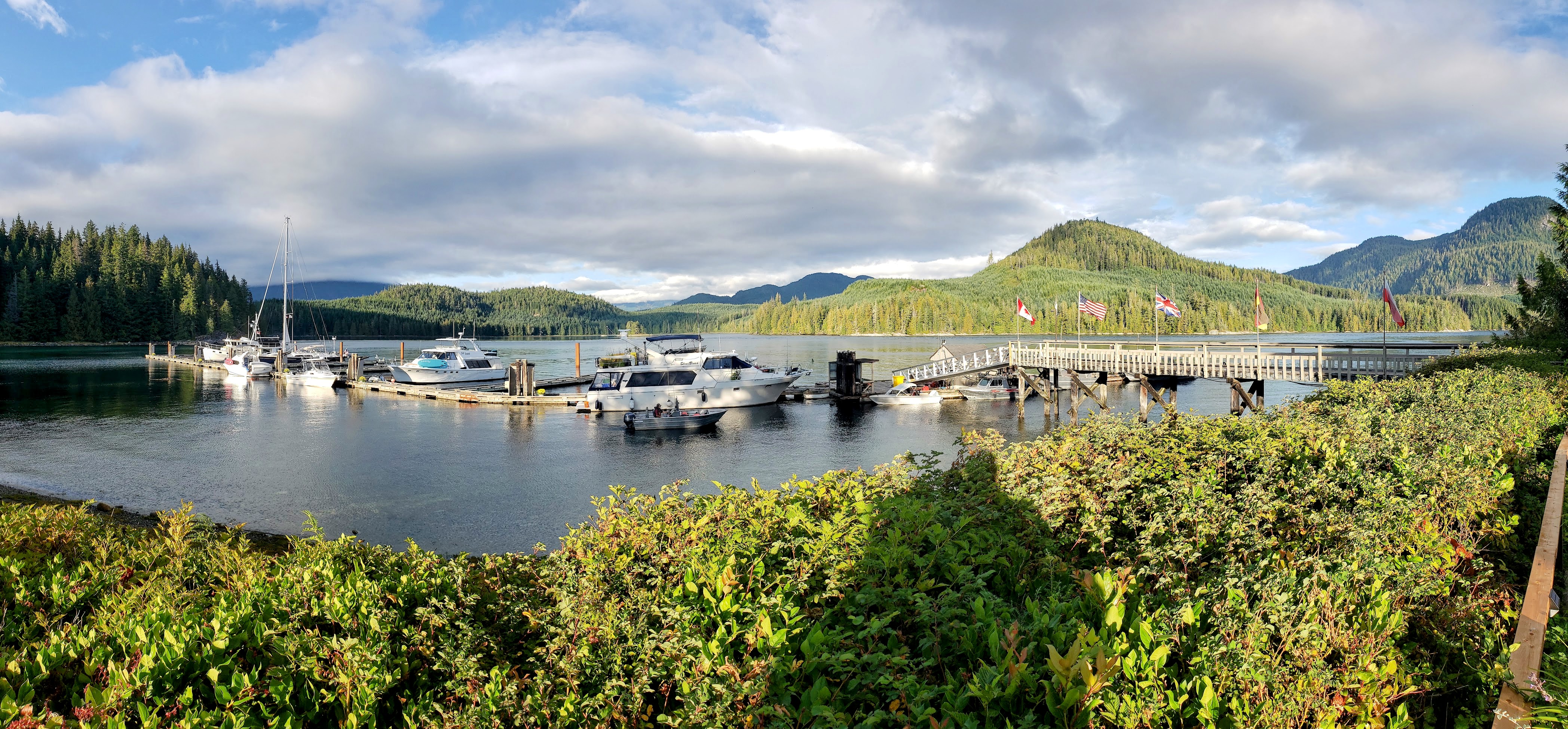
Blind Channel
Discovery Islands
Coordinates Decimal: 50.414, -125.499
Coordinates Degrees Minutes Seconds(DMS): 50° 24′ 49.320″N, -126° 30′ 5.040″W
Come for the moorage, stay for the schnitzel. What an amazing restaurant.
It is certainly worth visiting the Blind Channel Resort just for the restaurant.
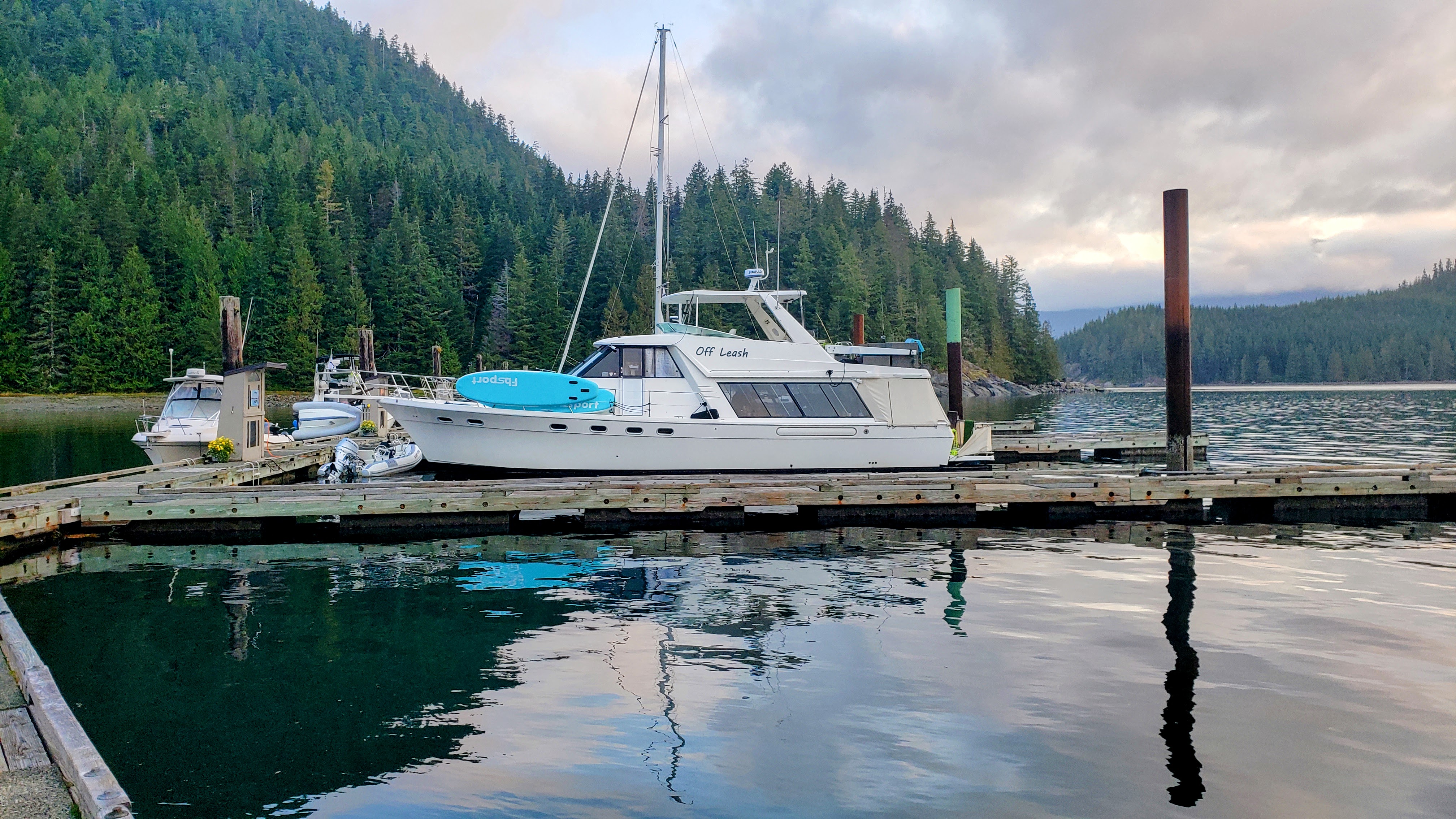 Blind Channel |
Day 8: Blind Channel Resort to Brown’s Bay Resort
Travel distance: 24.4
Nights staying: 1
Your Destination Brown’s Bay Resort
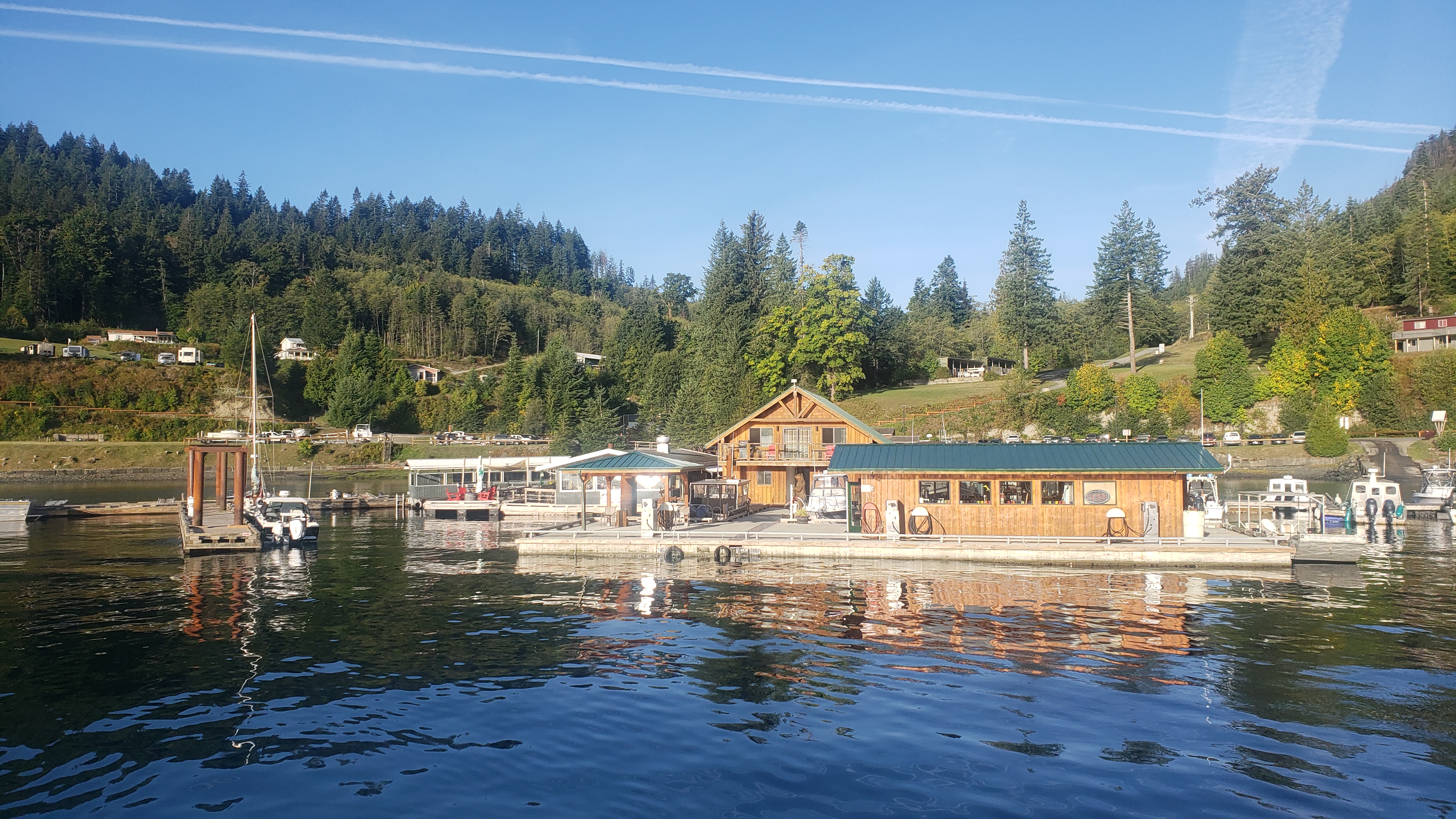
Brown’s Bay fuel dock.
Campbell River
Coordinates Decimal: 50.162, -125.372
Coordinates Degrees Minutes Seconds(DMS): 50° 9′ 43.200″N, -126° 37′ 40.800″W
Nestled along a picturesque coastline, Brown’s Bay Resort offers a serene escape into nature’s embrace. The resort, known for its channel views, brings together the charm of a secluded hideaway with the comforts of modern amenities.
Accommodations: Guests can choose from a variety of lodging options, including elegantly appointed cabins, spacious RV sites, and marina slips. Each cabin is designed to offer a blend of rustic charm and contemporary comfort, with private decks overlooking the bay.
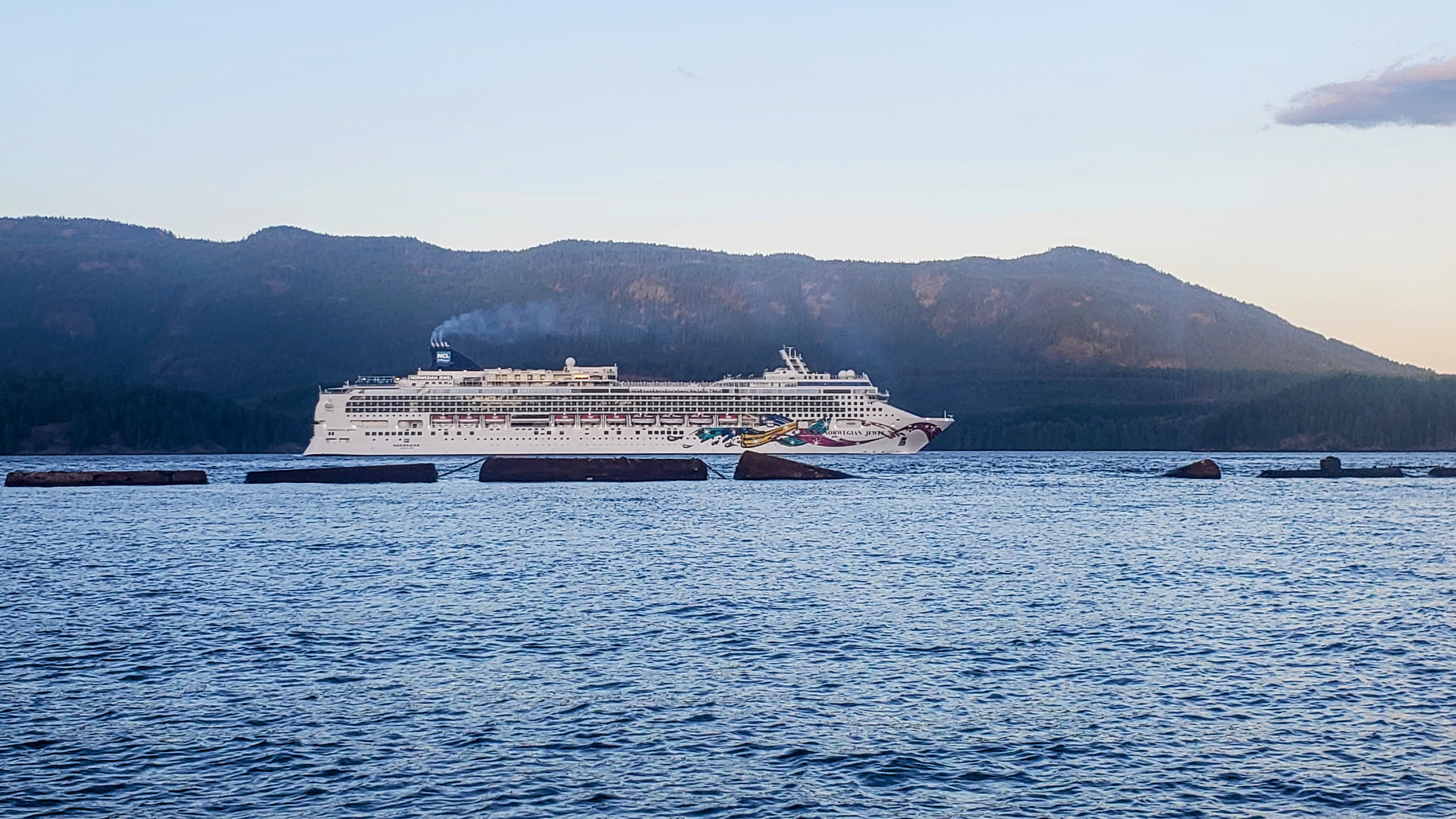 Cruise ship passing by Brown’s Bay. |
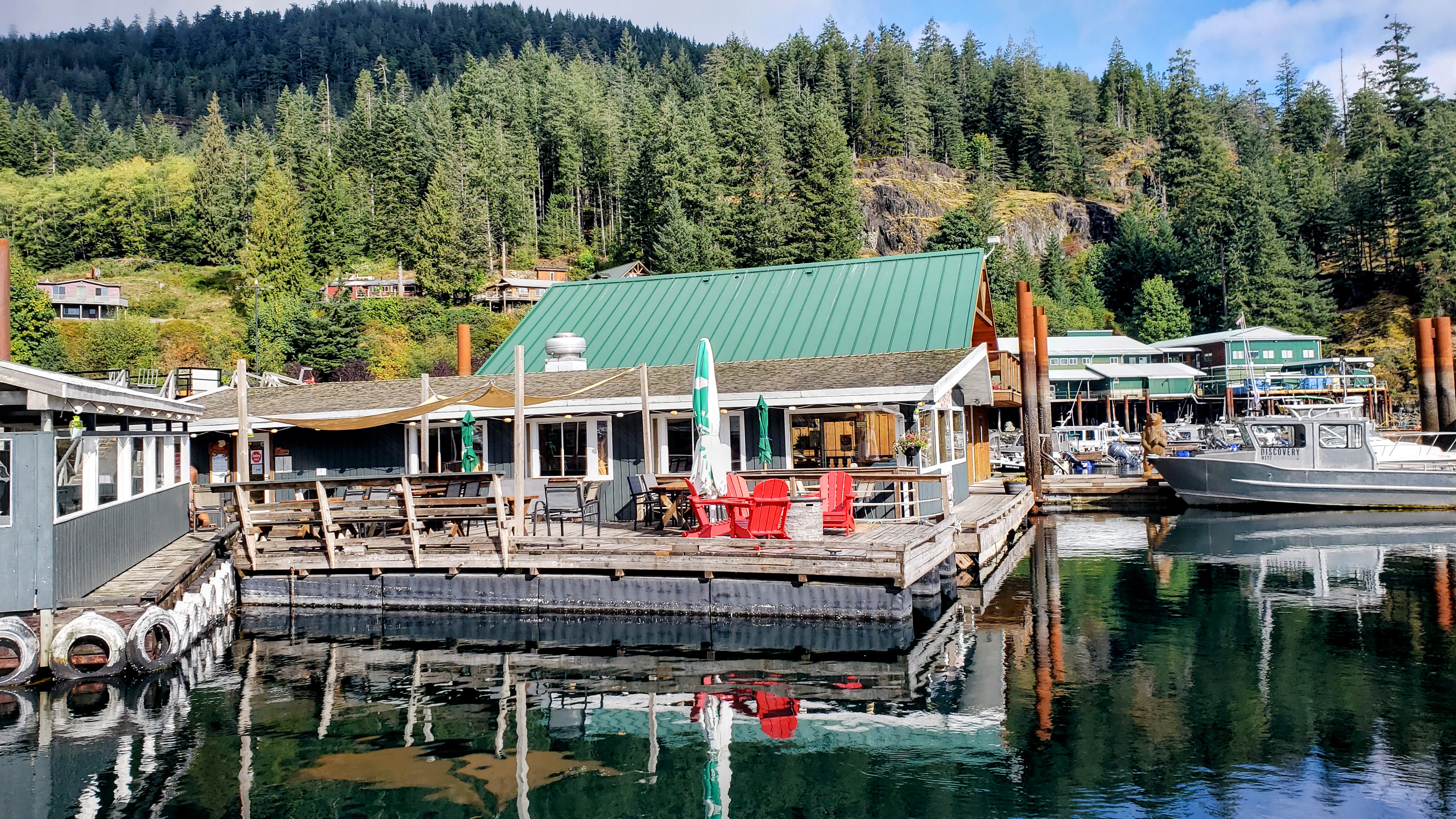 Dockside Restaurant at Brown’s Bay. |
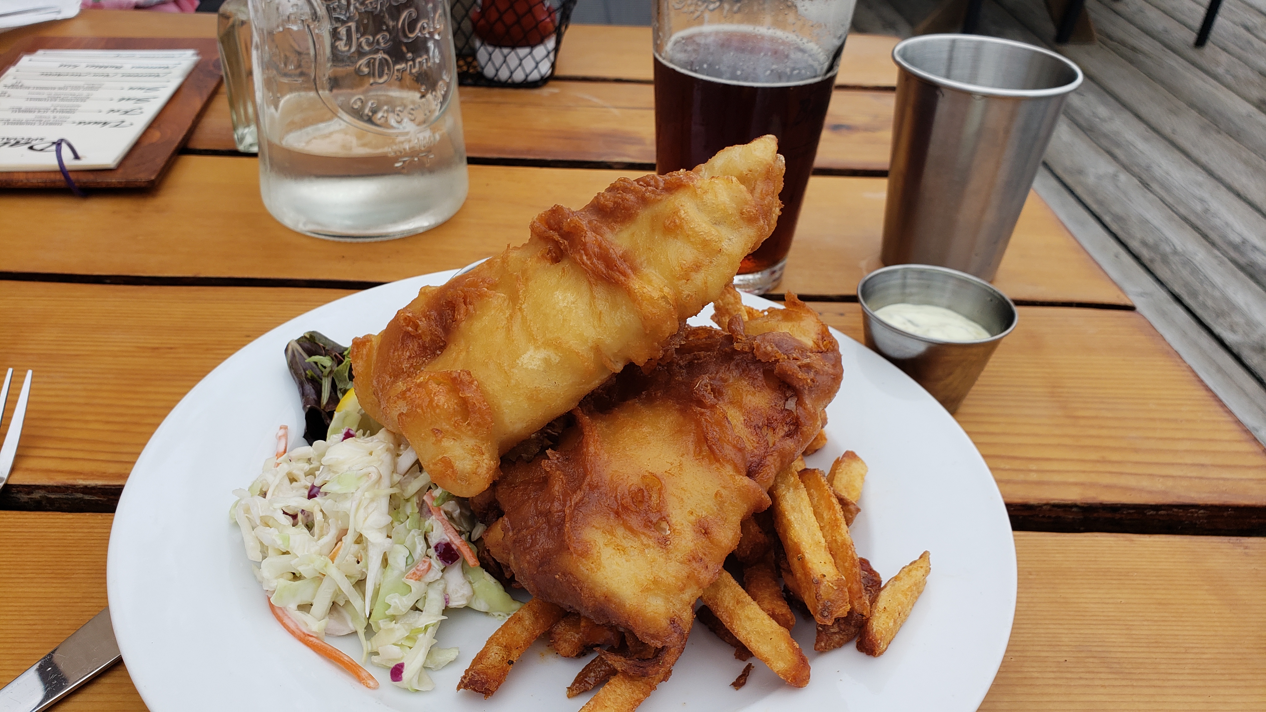 Amazing fish and chips on the dock at Brown’s Bay. |
Day 9: Brown’s Bay Resort to Nanaimo
Travel distance: 101.0
Nights staying: 0
Your Destination Nanaimo
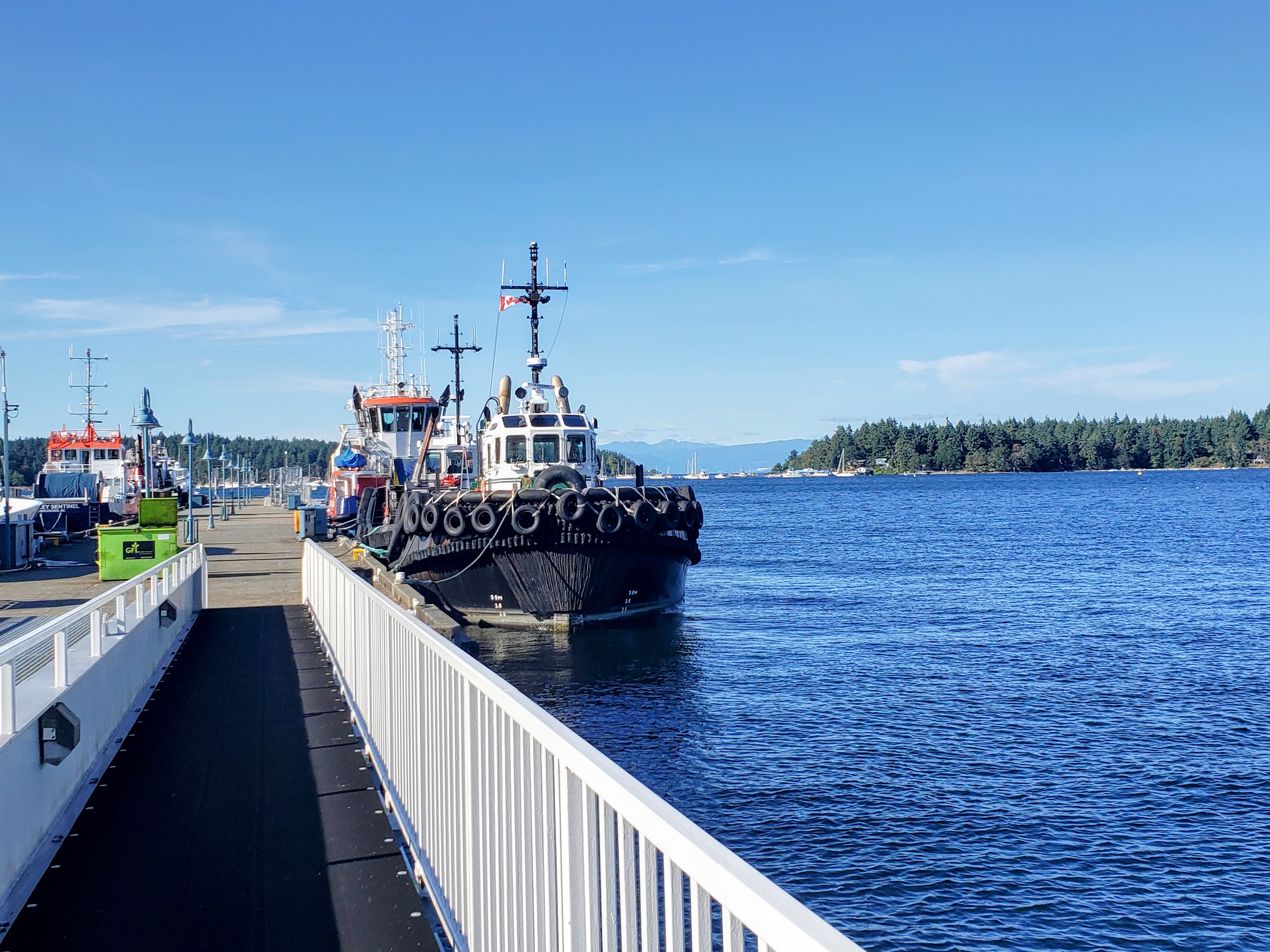
Nanaimo.
Bay
Naniamo
Coordinates Decimal: 49.176, -123.932
Coordinates Degrees Minutes Seconds(DMS): 49° 10′ 35.000″N, -124° 4′ 4.008″W
When visiting the area we saw more crack pipes, and heroin needles on the sidewalk than another other place we have travelled by boat.
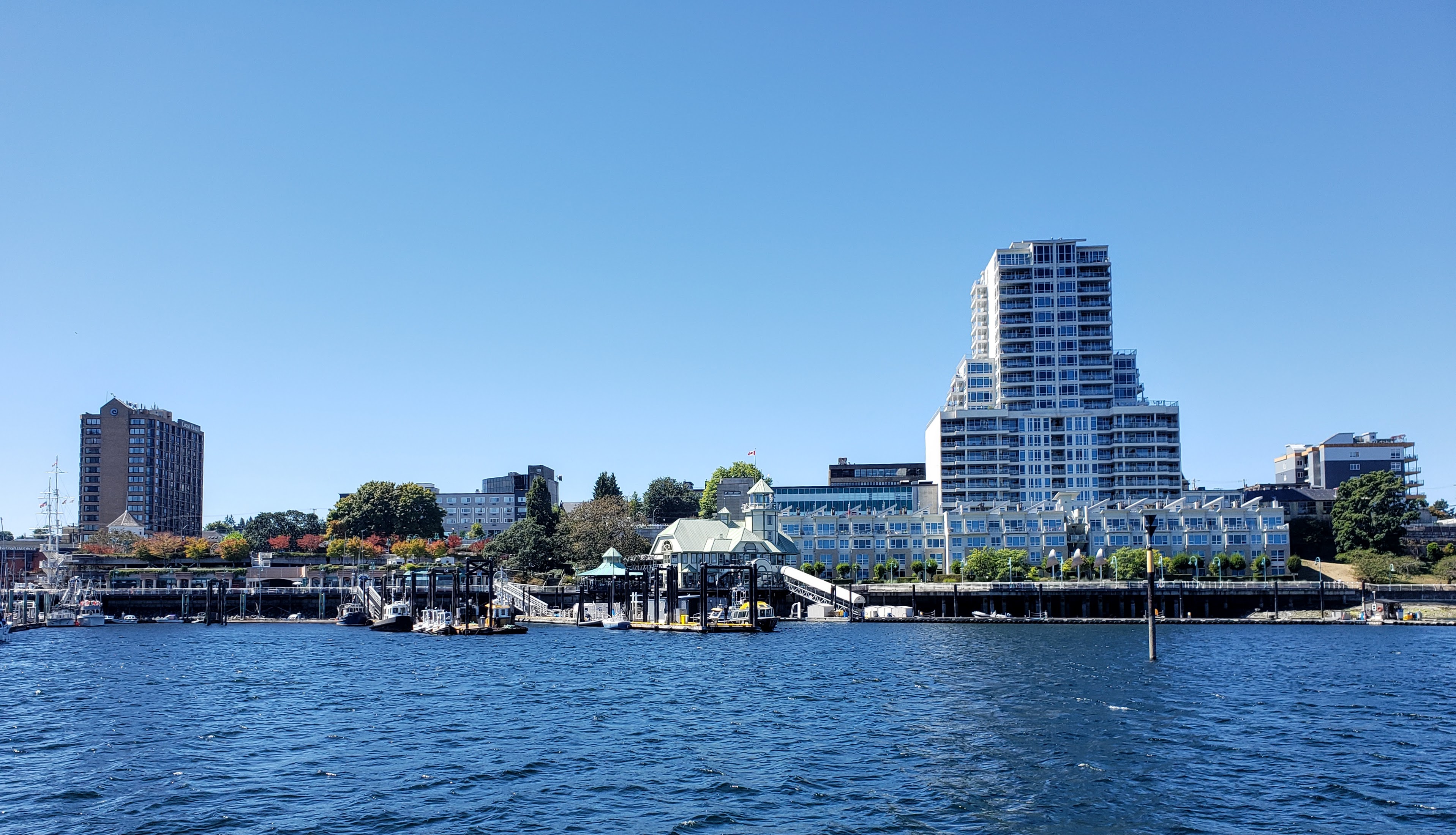 Nanaimo |
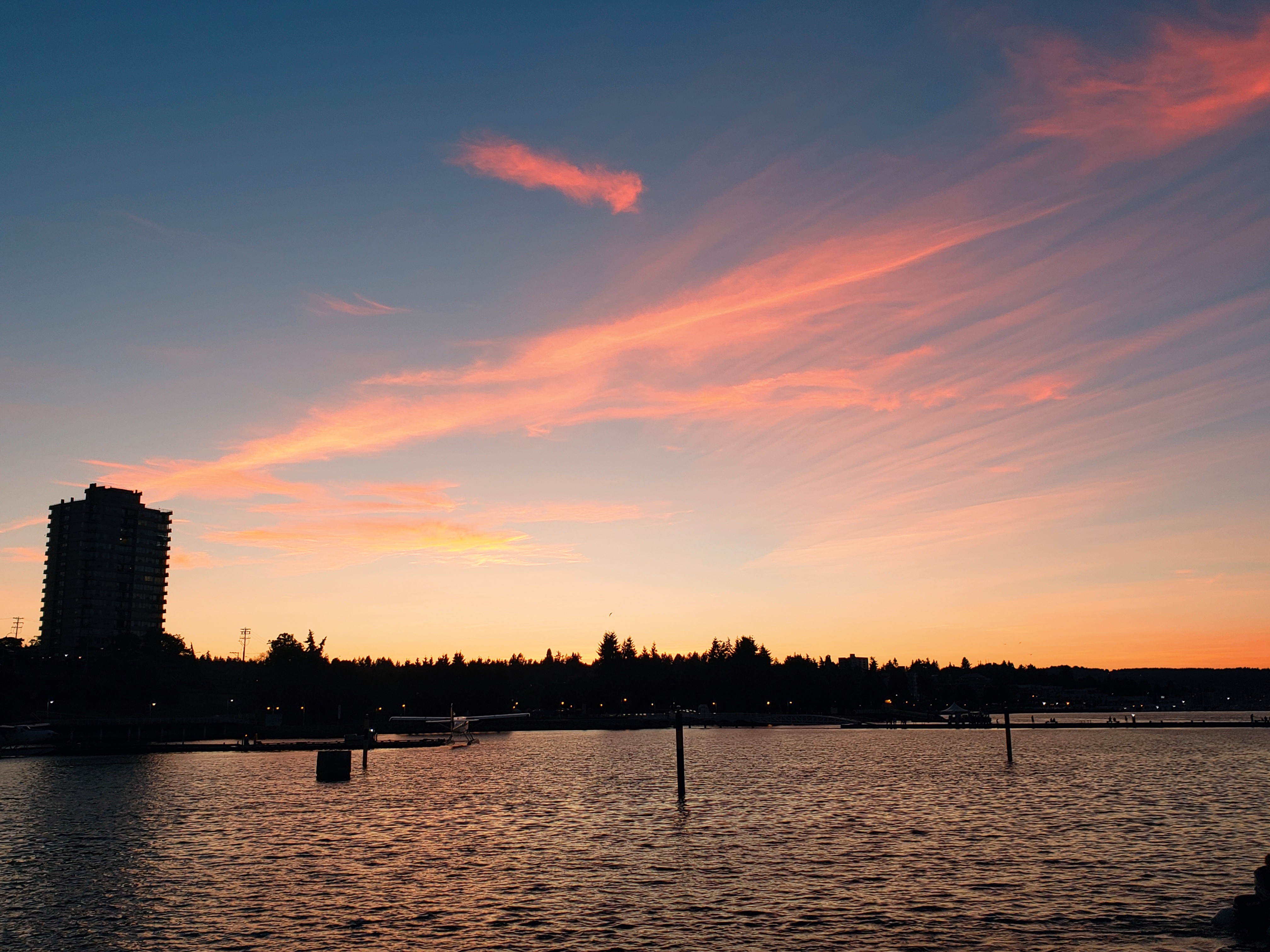 Nanaimo |
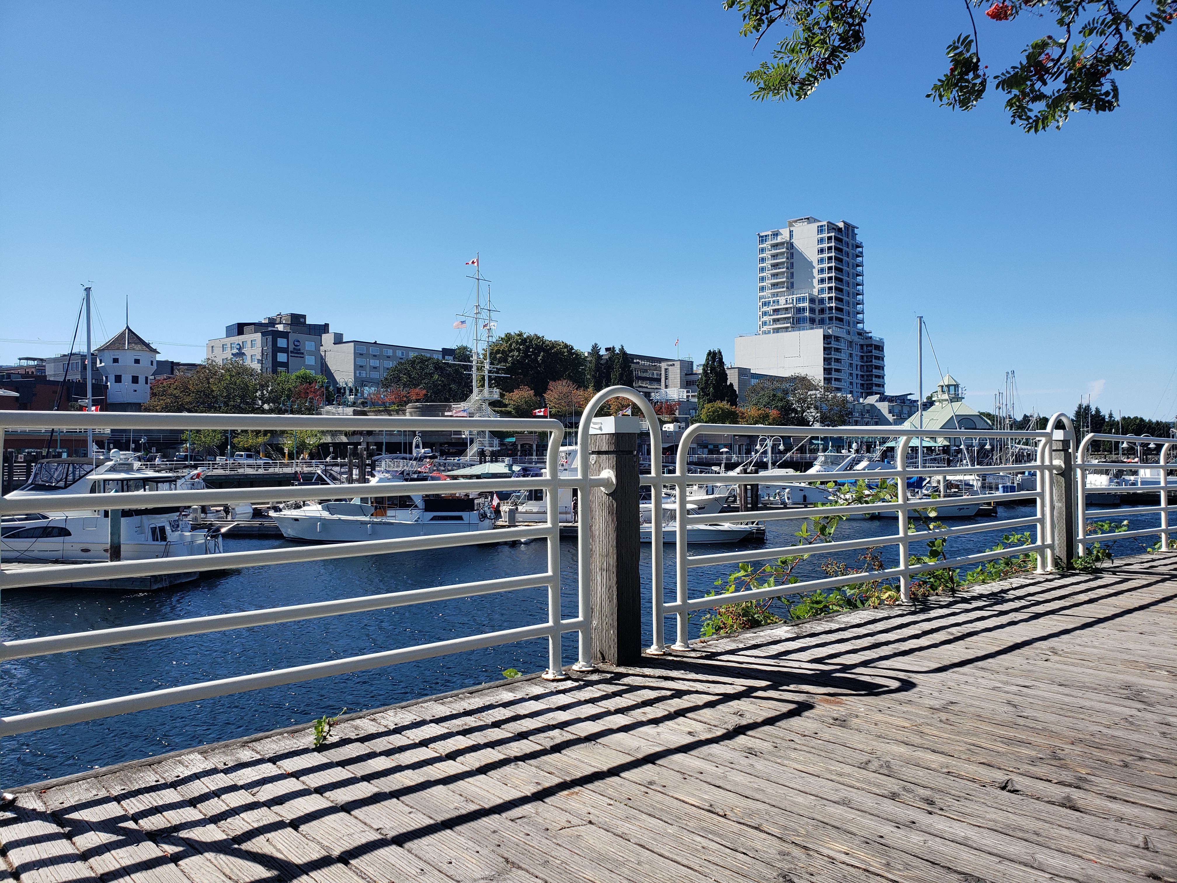 Nanaimo |
Download this this route and other routes in the Gulf Island, Desolation Sound and The Broughtons. Download so you can use them offline on your phone, tablet, or laptop when you cruising.
https://bc.boatinglocations.com/route-downloads/

