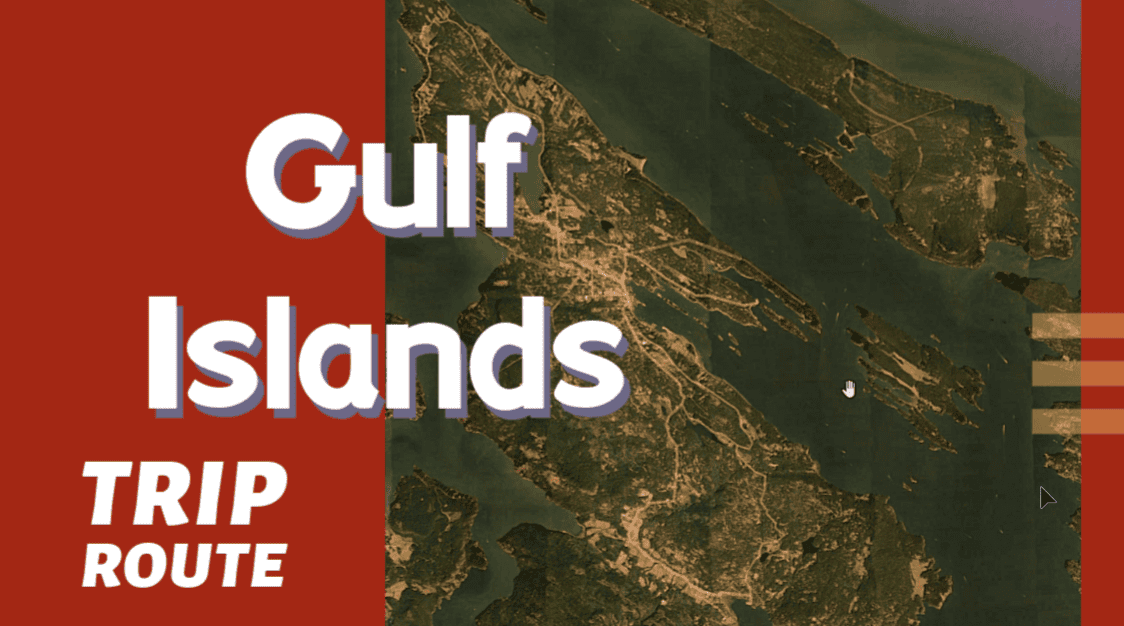
Download this this route and other routes in the Gulf Island, Desolation Sound and The Broughtons. Download so you can use them offline on your phone, tablet, or laptop when you cruising.
https://bc.boatinglocations.com/route-downloads/
Gulf Islands Trip Route for 20 days
Starting at False Creek and ending at False Creek
Total Trip Distance: 350.2 miles / 563.6 km / 403.0 NM
| Day | Route | Nights Staying Here | Distance |
| 1 | False Creek to Pages Resort at Silva Bay | 1 | 28.5 miles / 45.9 km / 32.8 NM |
| 2 | Pages Resort at Silva Bay to Pirates Cove | 1 | 5.9 miles / 9.5 km / 6.8 NM |
| 3 | Pirates Cove to Nanaimo | 2 | 14.1 miles / 22.7 km / 16.2 NM |
| 5 | Nanaimo to Thetis Island Marina | 1 | 21.2 miles / 34.1 km / 24.4 NM |
| 6 | Thetis Island Marina to Ladysmith Harbour | 1 | 9.7 miles / 15.6 km / 11.2 NM |
| 7 | Ladysmith Harbour to Wallace Island | 1 | 15.9 miles / 25.6 km / 18.3 NM |
| 8 | Wallace Island to Telegraph Harbour | 1 | 9.8 miles / 15.8 km / 11.3 NM |
| 9 | Telegraph Harbour to Maple Bay Marina | 1 | 14.2 miles / 22.9 km / 16.3 NM |
| 10 | Maple Bay Marina to Russell Island | 1 | 15.2 miles / 24.5 km / 17.5 NM |
| 11 | Russell Island to Sidney | 1 | 8.2 miles / 13.2 km / 9.4 NM |
| 12 | Sidney to Victoria | 2 | 25.6 miles / 41.2 km / 29.5 NM |
| 14 | Victoria to Genoa Bay | 1 | 40.9 miles / 65.8 km / 47.1 NM |
| 15 | Genoa Bay to Bedwell Harbour | 1 | 21.4 miles / 34.4 km / 24.6 NM |
| 16 | Bedwell Harbour to Ganges | 1 | 18.1 miles / 29.1 km / 20.8 NM |
| 17 | Ganges to Montague Harbour | 1 | 7.9 miles / 12.7 km / 9.1 NM |
| 18 | Montague Harbour to Cabbage Island Marine Park | 1 | 27.5 miles / 44.3 km / 31.6 NM |
| 19 | Cabbage Island Marine Park to Silva Bay Resort | 1 | 37.7 miles / 60.7 km / 43.4 NM |
| 20 | Silva Bay Resort to False Creek | 0 | 28.4 miles / 45.7 km / 32.7 NM |
Day 1: False Creek to Pages Resort at Silva Bay
Todays travel distance: 28.5 miles / 45.9 km / 32.8 NM
Nights staying: 1
Your Destination Pages Resort at Silva Bay
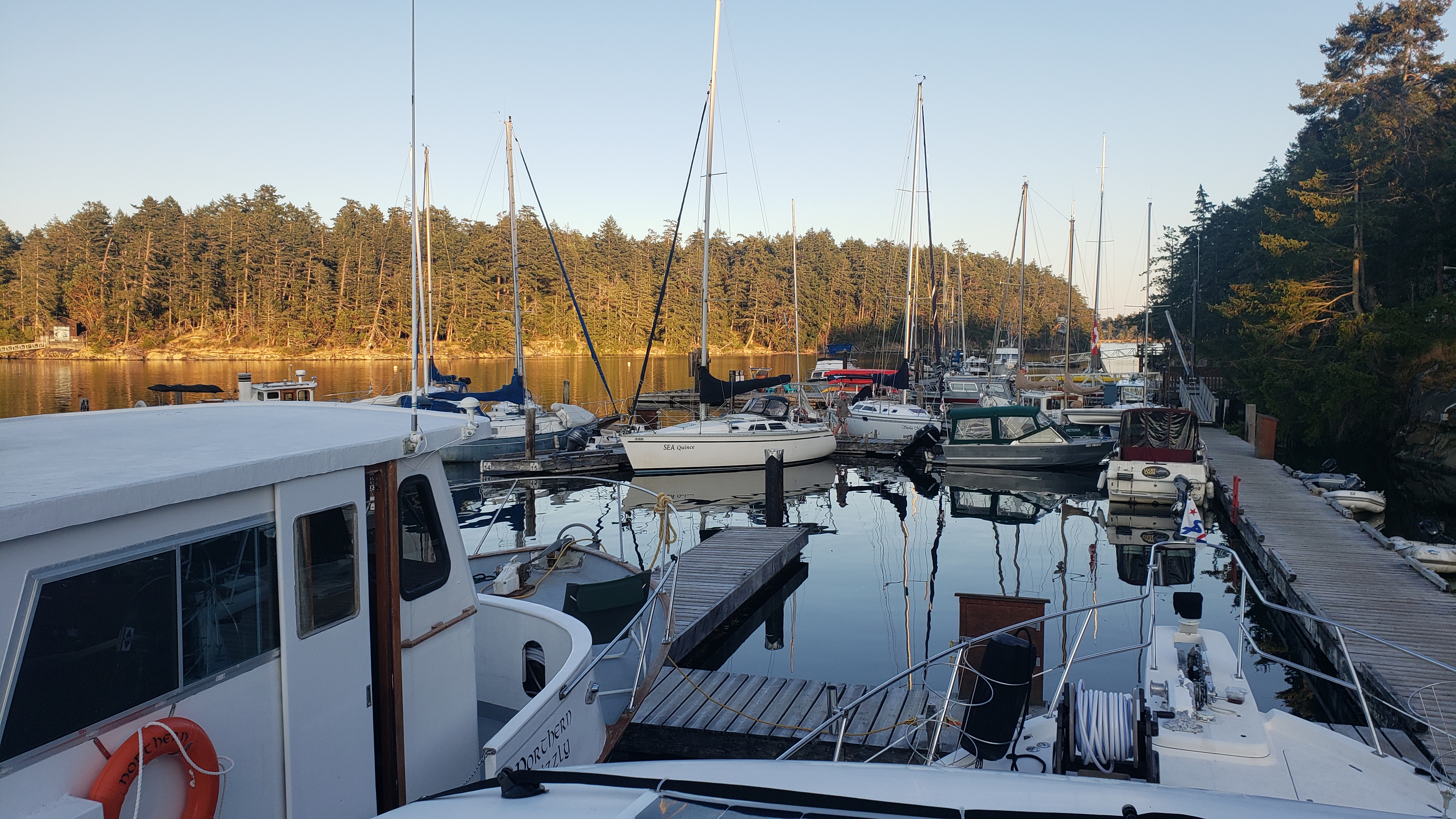
Pages Resort
Gulf Islands
Coordinates Decimal: 49.149, -123.697
Coordinates Degrees Minutes Seconds(DMS): 49° 8′ 56.400″N, -124° 18′ 10.800″W
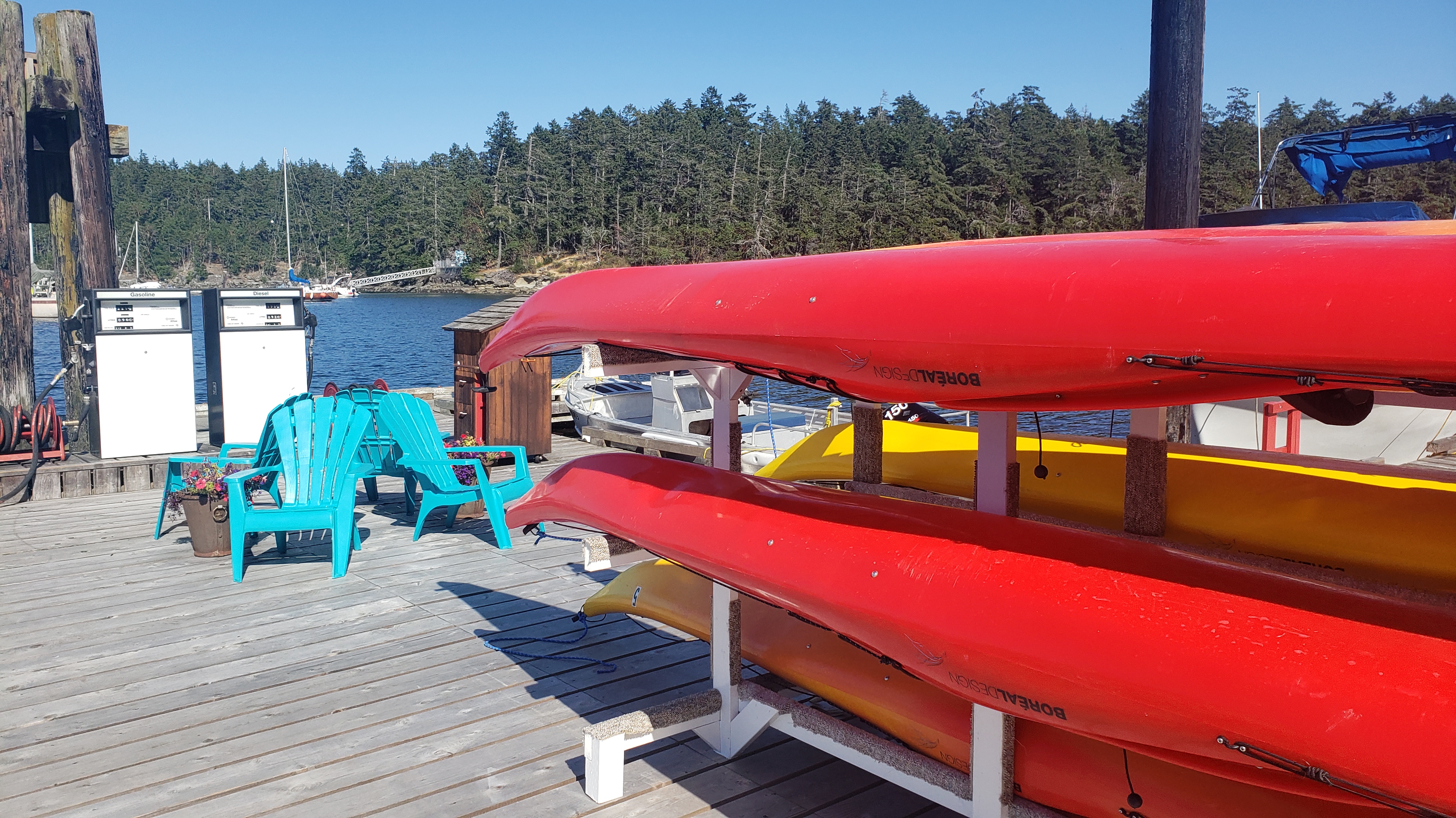 Pages Resort. |
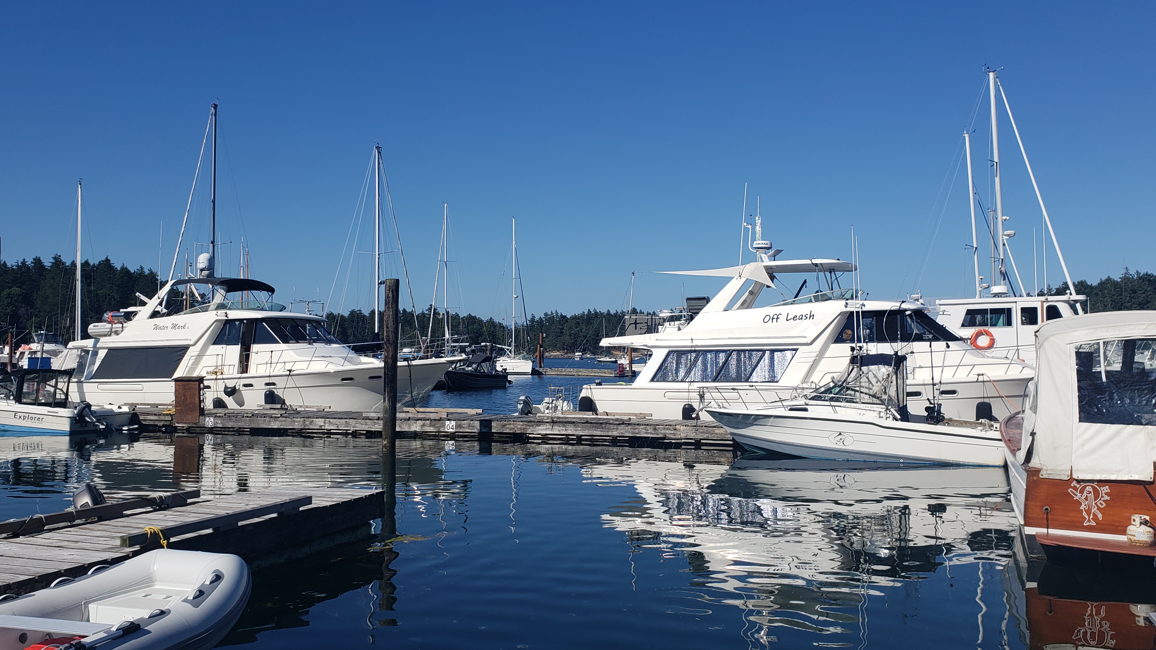 Pages Resort. |
Day 2: Pages Resort at Silva Bay to Pirates Cove
Todays travel distance: 5.9 miles / 9.5 km / 6.8 NM
Nights staying: 1
Your Destination Pirates Cove
Gulf Islands
Coordinates Decimal: 49.098, -123.730
Coordinates Degrees Minutes Seconds(DMS): 49° 5′ 51.000″N, -124° 16′ 10.920″W
Pirates Cove, a hidden gem located on De Courcy Island in the stunning Gulf Islands of British Columbia, offers boaters an unparalleled marine oasis steeped in natural beauty and nautical charm. Known for its alluring name and intriguing history linked to the famous Brother XII cult, Pirates Cove is more than just a safe harbor; it’s a destination that captures the spirit of coastal exploration.
The well-protected cove provides an ideal anchorage, with ample space for vessels of various sizes. The holding ground in the cove is generally good, and visiting boaters can take advantage of the mooring buoys and dinghy docks available. It’s advised to arrive early during peak season, as this popular spot can fill up quickly.
It can be challenging to enter or leave if the tides are too low, so be sure to check your tide charts.
Pirates Cove Marine Provincial Park encompasses the area and is meticulously maintained, featuring walking trails that wind through lush forests and along rocky shorelines. It offers a perfect opportunity for boaters to stretch their legs and explore the island’s diverse flora and fauna.
For those interested in the area’s unique history, a visit to the interpretive signs scattered around the park offers insights into the local legends and lore that have shaped Pirates Cove.
Amenities for boaters include picnic areas, pit toilets, and fresh water during the summer months. Though services are limited, the raw and unspoiled beauty of the cove more than compensates, allowing visitors to immerse themselves in a tranquil marine environment.
The starlit nights in Pirates Cove are particularly enchanting, with the gentle lapping of the water and the distant call of marine birds adding to the magical atmosphere. It’s a perfect setting for a peaceful evening aboard, sharing stories, and enjoying the fresh sea air.
Pirates Cove is not just a destination but a nautical adventure, offering boaters a blend of natural wonder, historical intrigue, and maritime delight. Whether you’re seeking a scenic anchorage, fruitful fishing grounds, or simply a moment of peace amid the Gulf Islands’ splendor, Pirates Cove welcomes you with open arms and the promise of an unforgettable experience.
Day 3: Pirates Cove to Nanaimo
Todays travel distance: 14.1 miles / 22.7 km / 16.2 NM
Nights staying: 2
Your Destination Nanaimo
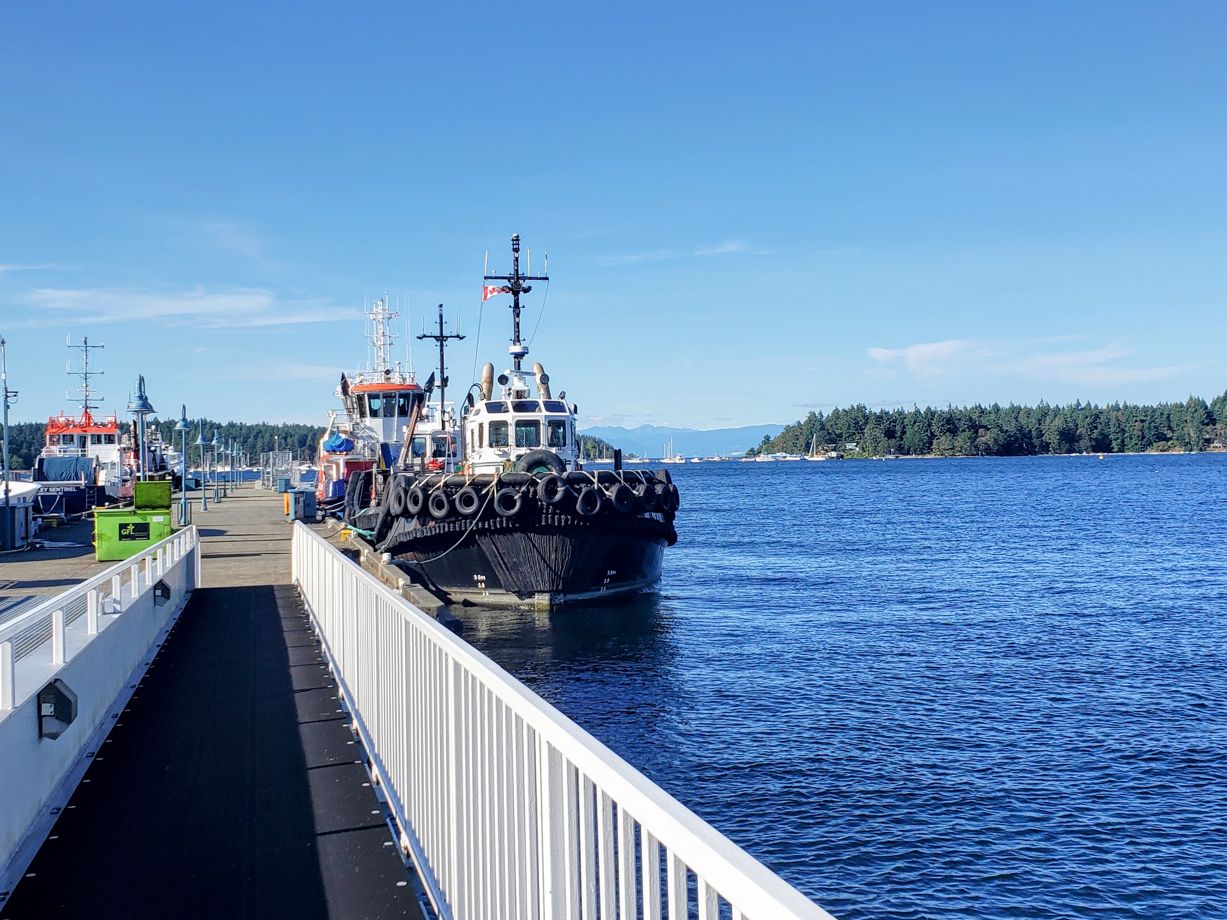
Nanaimo.
Bay
Naniamo
Coordinates Decimal: 49.176, -123.932
Coordinates Degrees Minutes Seconds(DMS): 49° 10′ 35.000″N, -124° 4′ 4.008″W
When visiting the area we saw more crack pipes, and heroin needles on the sidewalk than another other place we have travelled by boat.
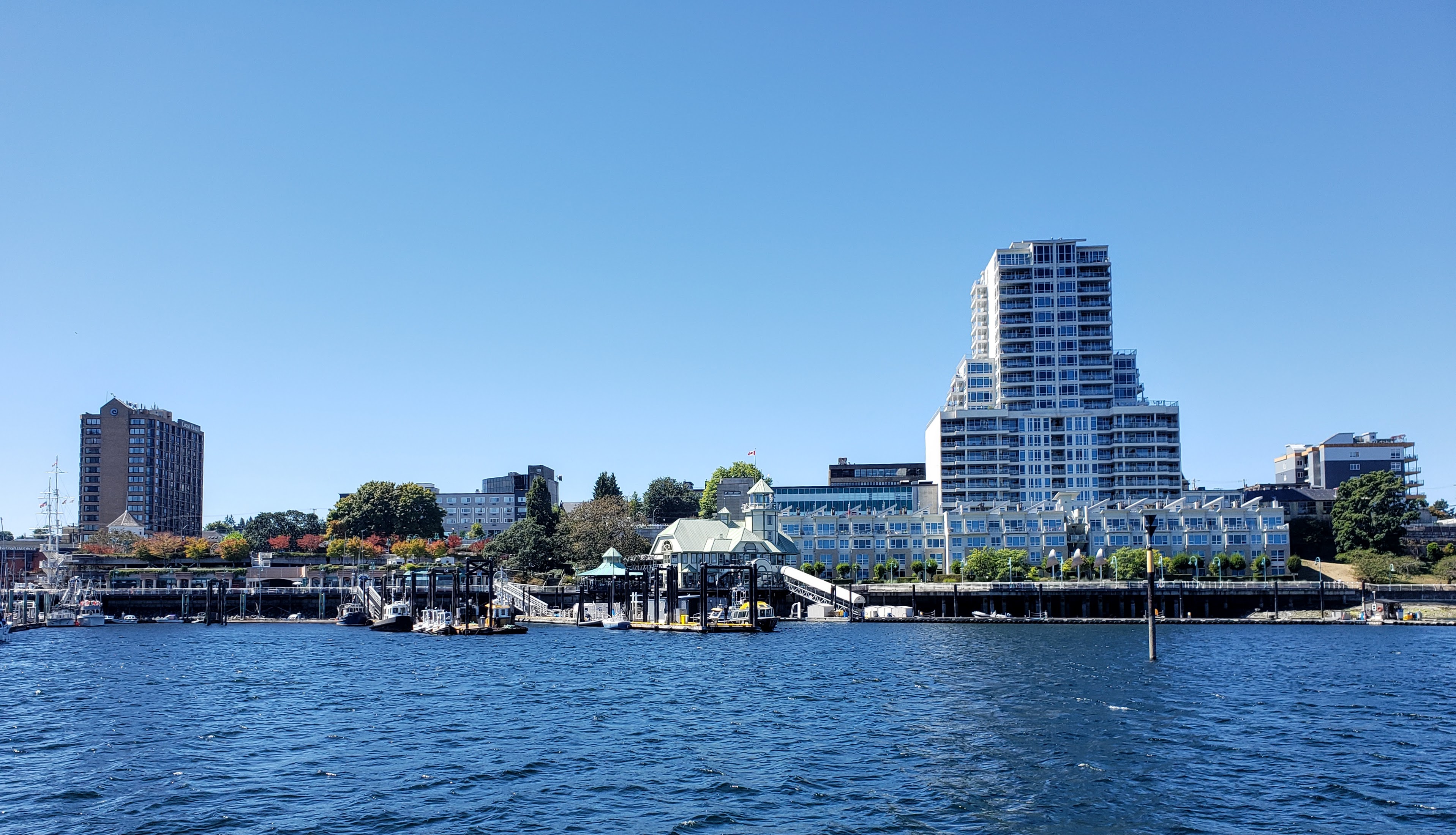 Nanaimo |
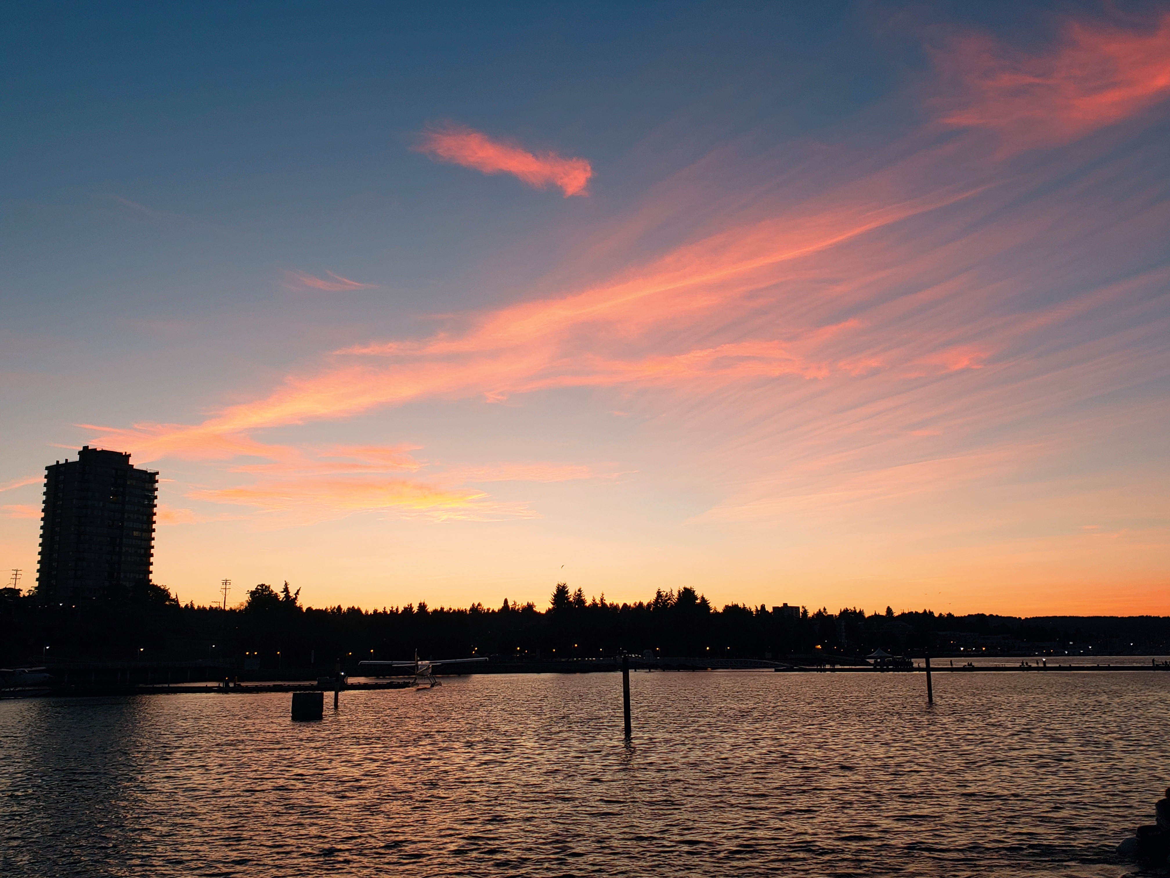 Nanaimo |
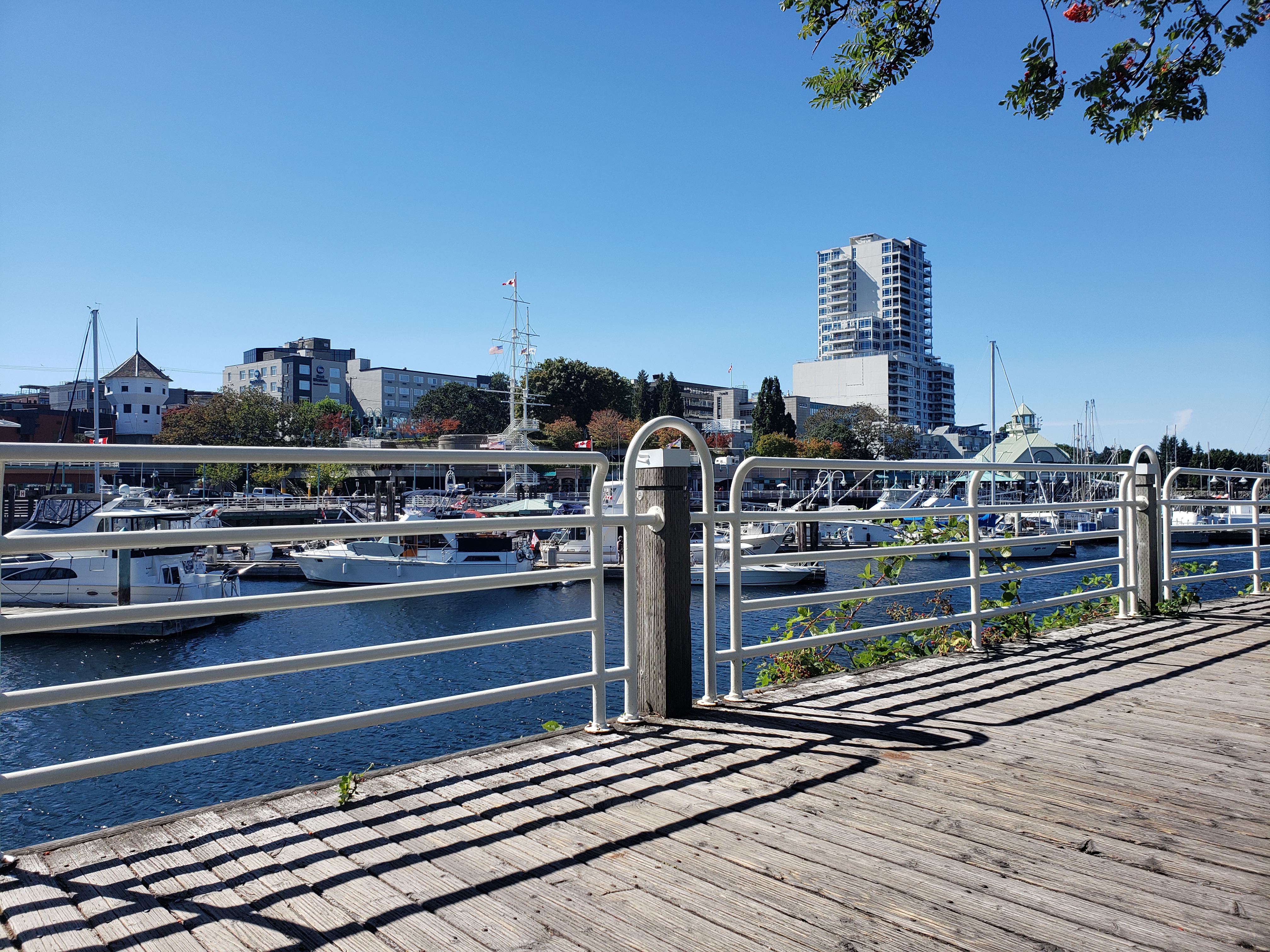 Nanaimo |
Day 5: Nanaimo to Thetis Island Marina
Todays travel distance: 21.2 miles / 34.1 km / 24.4 NM
Nights staying: 1
Your Destination Thetis Island Marina
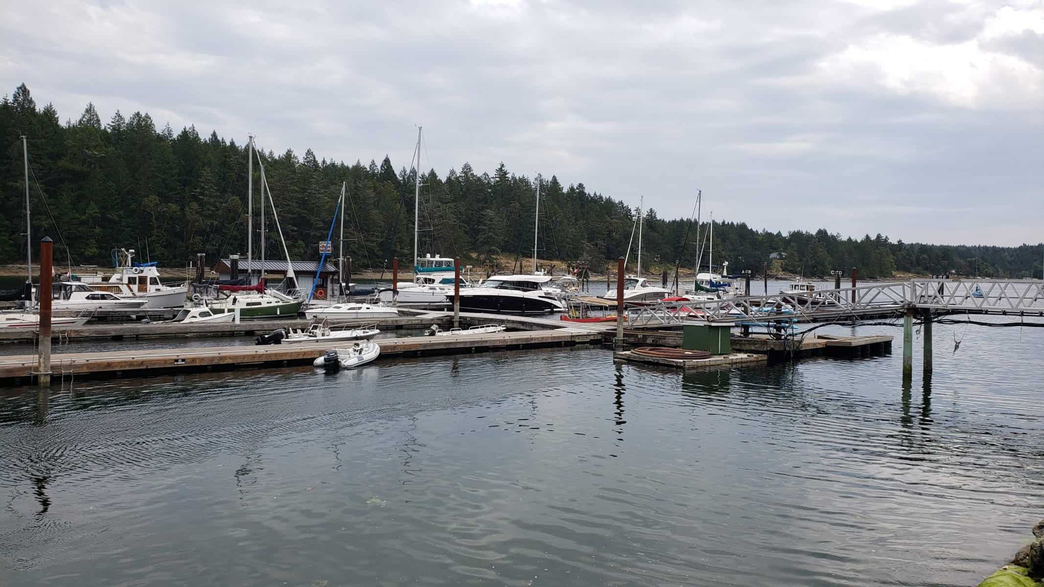
Thetis Island Marina.
Gulf Islands
Coordinates Decimal: 48.977, -123.669
Coordinates Degrees Minutes Seconds(DMS): 48° 58′ 38.640″N, -124° 19′ 51.240″W
Day 6: Thetis Island Marina to Ladysmith Harbour
Todays travel distance: 9.7 miles / 15.6 km / 11.2 NM
Nights staying: 1
Your Destination Ladysmith Harbour
Gulf Islands
Coordinates Decimal: 49.010, -123.825
Coordinates Degrees Minutes Seconds(DMS): 49° 0′ 36.000″N, -124° 10′ 30.000″W
Day 7: Ladysmith Harbour to Wallace Island
Todays travel distance: 15.9 miles / 25.6 km / 18.3 NM
Nights staying: 1
Your Destination Wallace Island
Gulf Islands
Coordinates Decimal: 48.943, -123.556
Coordinates Degrees Minutes Seconds(DMS): 48° 56′ 34.080″N, -124° 26′ 40.200″W
Day 8: Wallace Island to Telegraph Harbour
Todays travel distance: 9.8 miles / 15.8 km / 11.3 NM
Nights staying: 1
Your Destination Telegraph Harbour
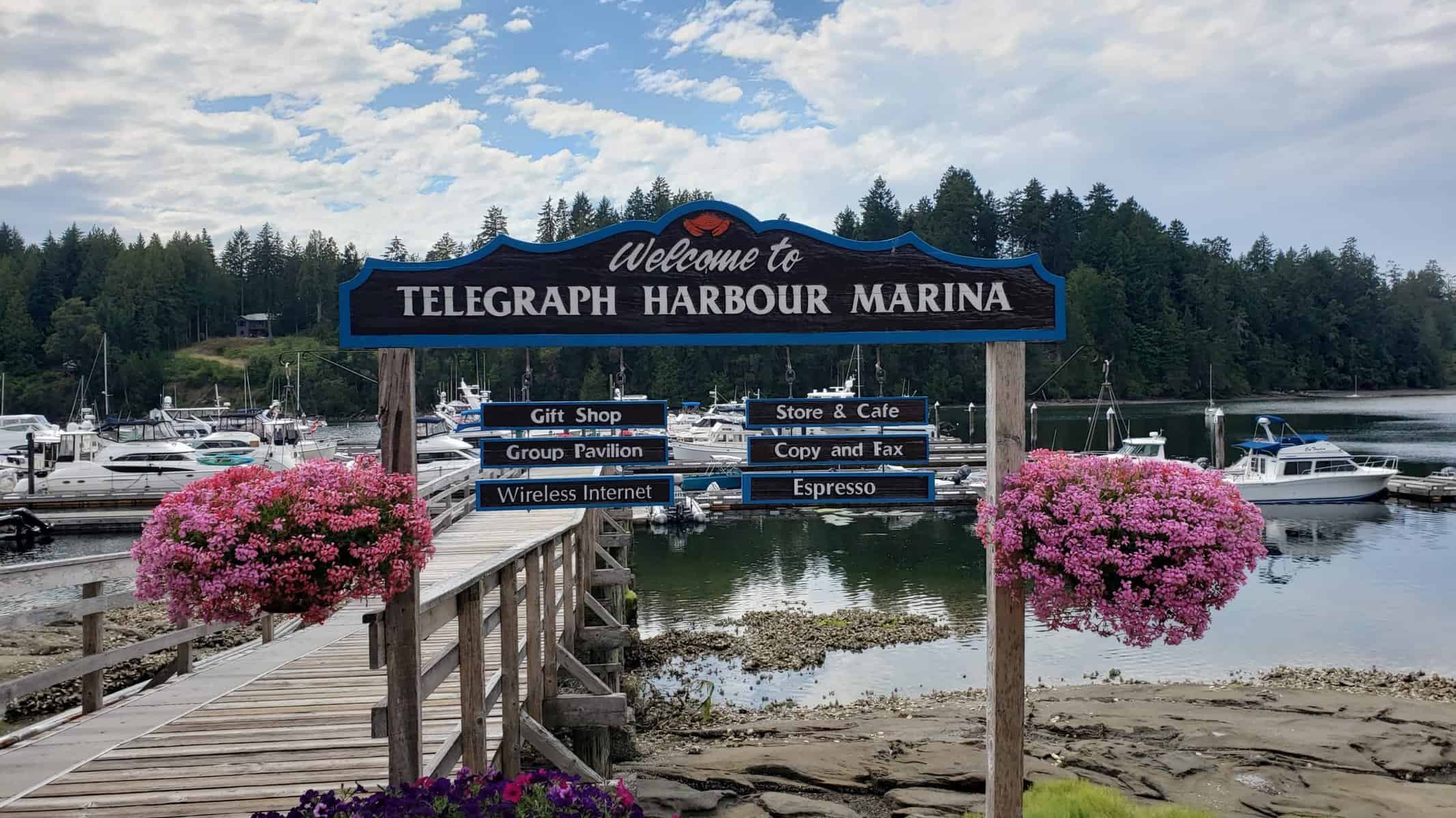
Telegraph Harbor Marina from the shore.
Gulf Islands
Coordinates Decimal: 48.982, -123.671
Coordinates Degrees Minutes Seconds(DMS): 48° 58′ 55.920″N, -124° 19′ 44.760″W
Day 9: Telegraph Harbour to Maple Bay Marina
Todays travel distance: 14.2 miles / 22.9 km / 16.3 NM
Nights staying: 1
Your Destination Maple Bay Marina

Maple Bay view from the restaurant.
Gulf Islands
Coordinates Decimal: 48.795, -123.601
Coordinates Degrees Minutes Seconds(DMS): 48° 47′ 42.360″N, -124° 23′ 54.960″W
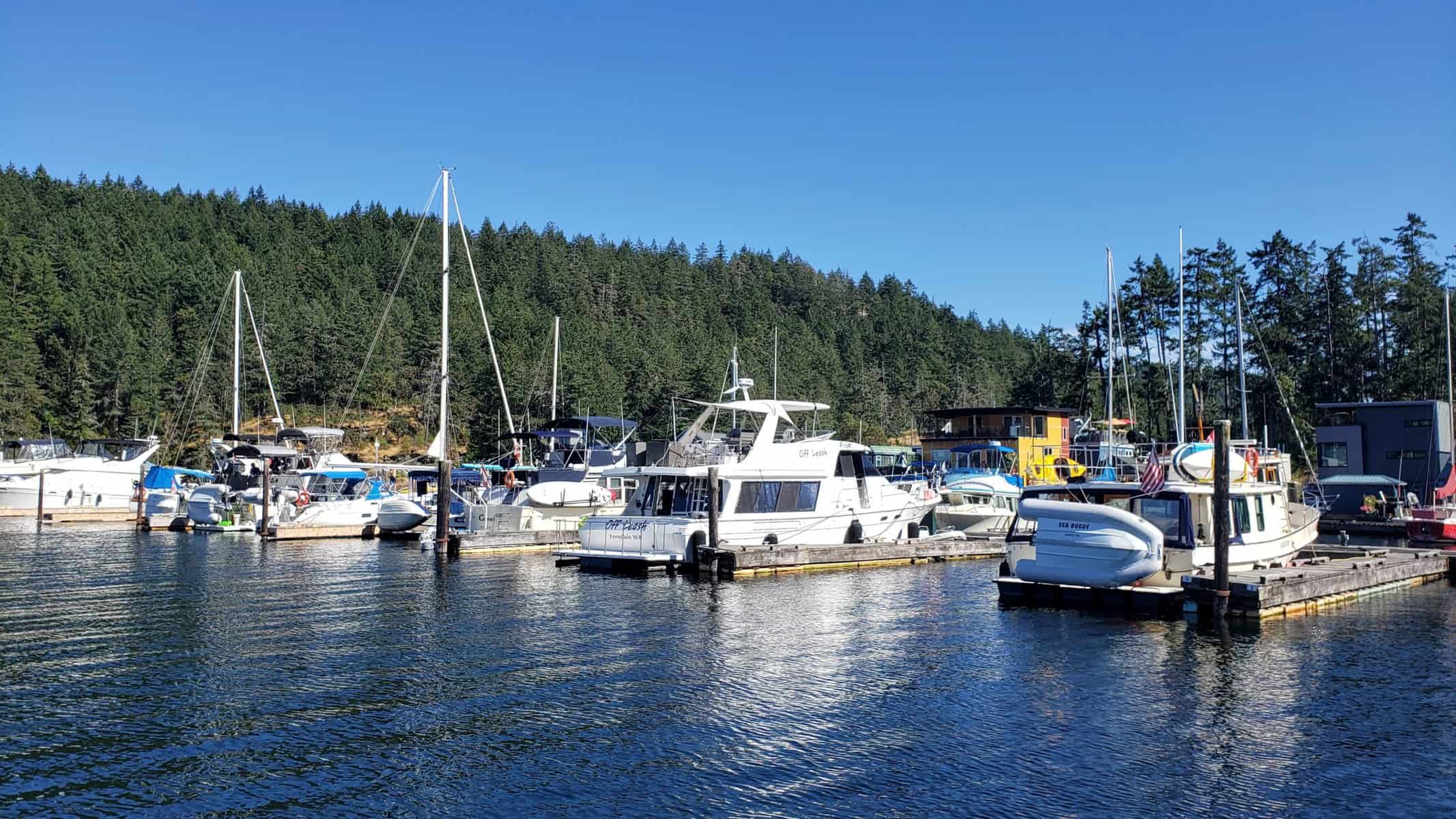 On the docks at Maple Bay. |
Day 10: Maple Bay Marina to Russell Island
Todays travel distance: 15.2 miles / 24.5 km / 17.5 NM
Nights staying: 1
Your Destination Russell Island
Gulf Islands
Coordinates Decimal: 48.749, -123.411
Coordinates Degrees Minutes Seconds(DMS): 48° 44′ 56.760″N, -124° 35′ 20.760″W
Day 11: Russell Island to Sidney
Todays travel distance: 8.2 miles / 13.2 km / 9.4 NM
Nights staying: 1
Your Destination Sidney
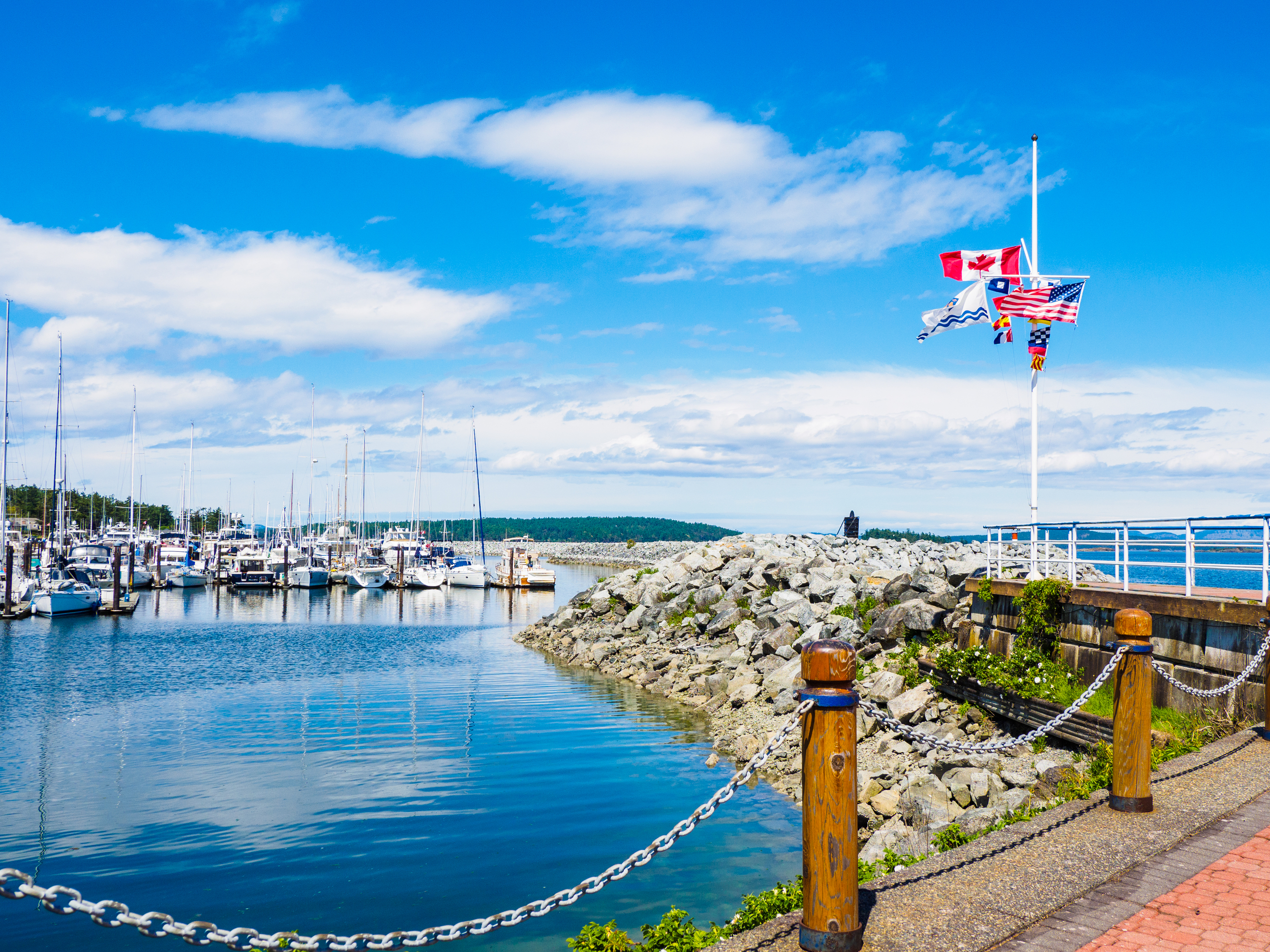
Sidney.
Victoria / Sidney Region
Coordinates Decimal: 48.652, -123.393
Coordinates Degrees Minutes Seconds(DMS): 48° 39′ 7.200″N, -124° 36′ 25.200″W
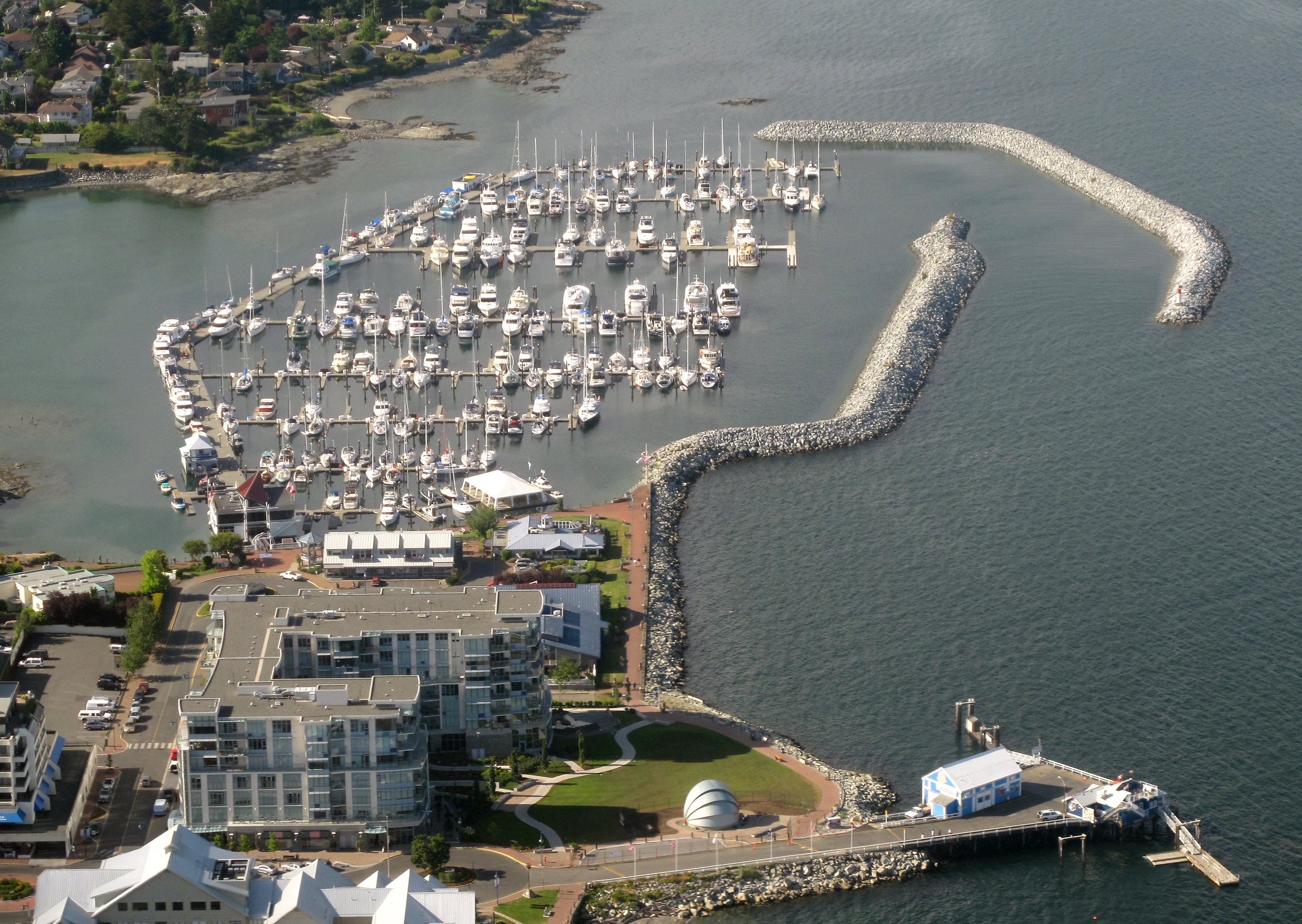 Sidney. |
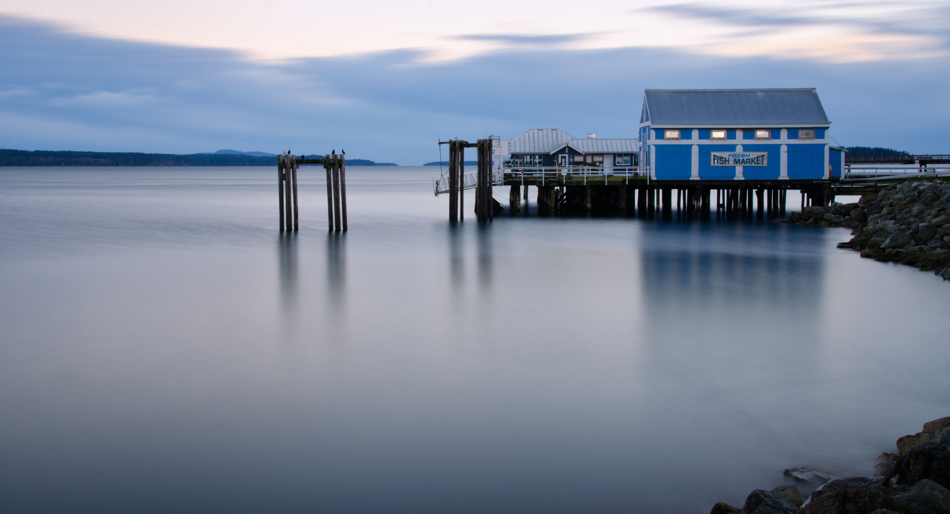 Sidney. |
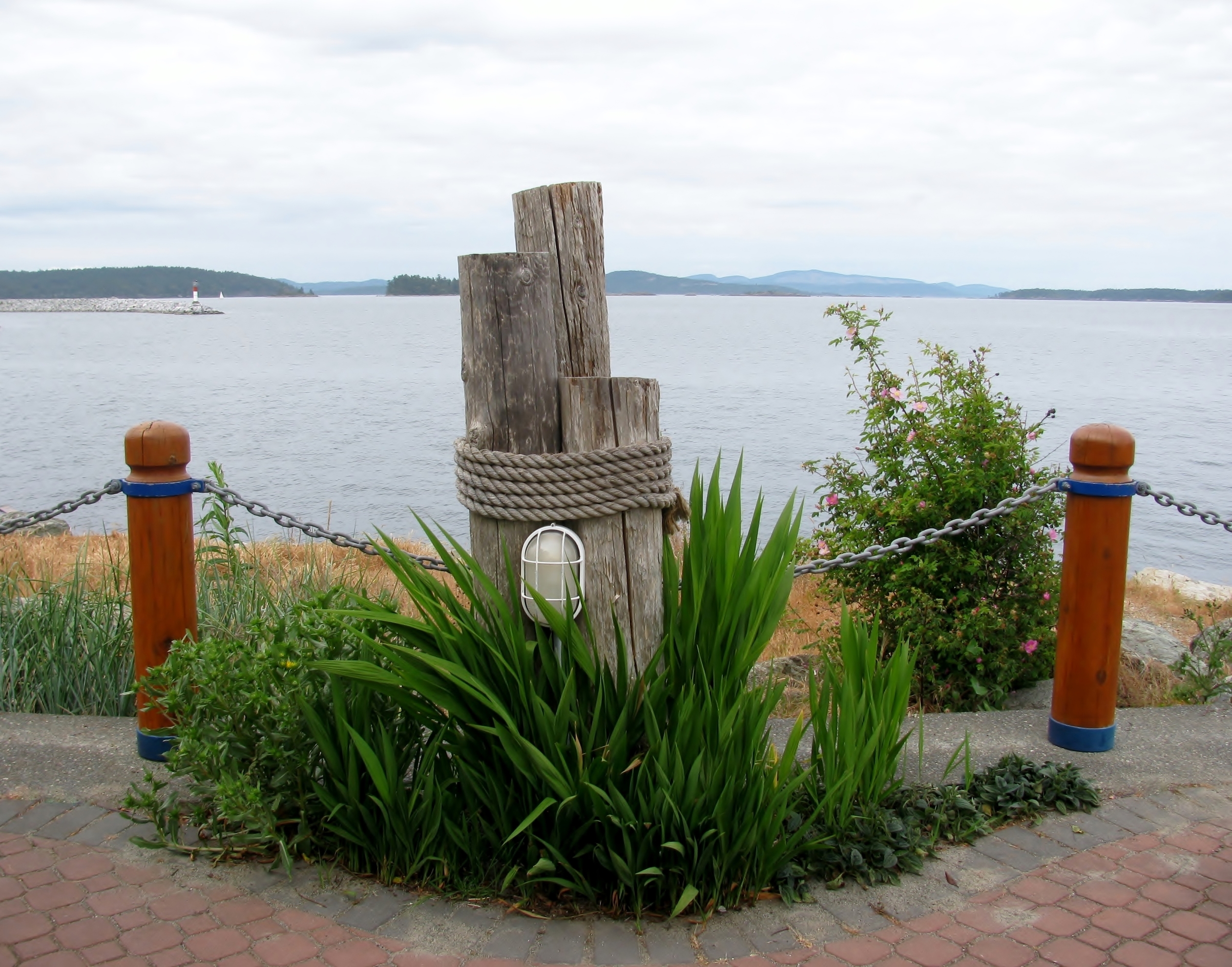 Sidney. |
Day 12: Sidney to Victoria
Todays travel distance: 25.6 miles / 41.2 km / 29.5 NM
Nights staying: 2
Your Destination Victoria
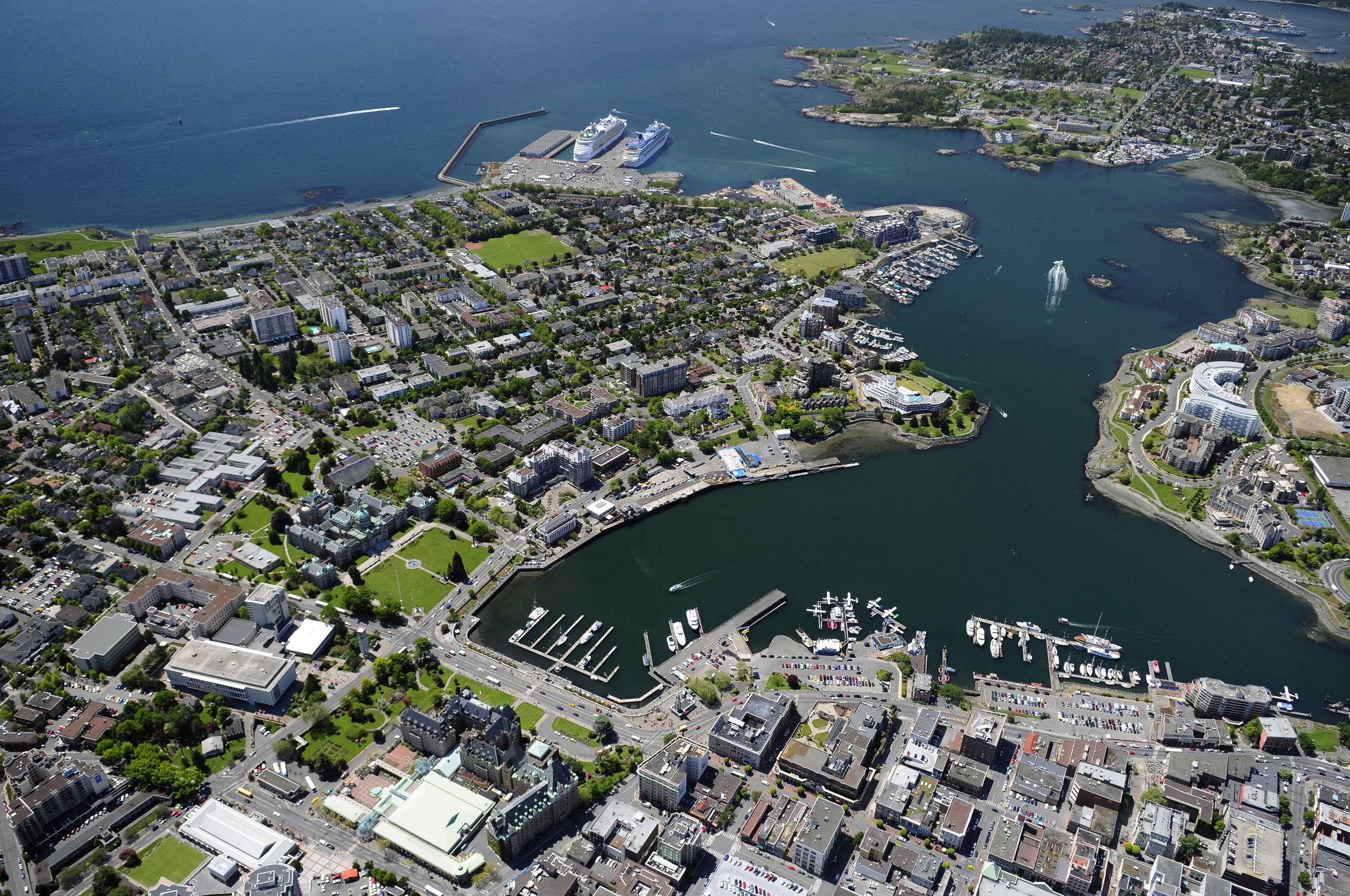
Victoria.
Victoria / Sidney Region
Coordinates Decimal: 48.422, -123.371
Coordinates Degrees Minutes Seconds(DMS): 48° 25′ 19.200″N, -124° 37′ 44.400″W
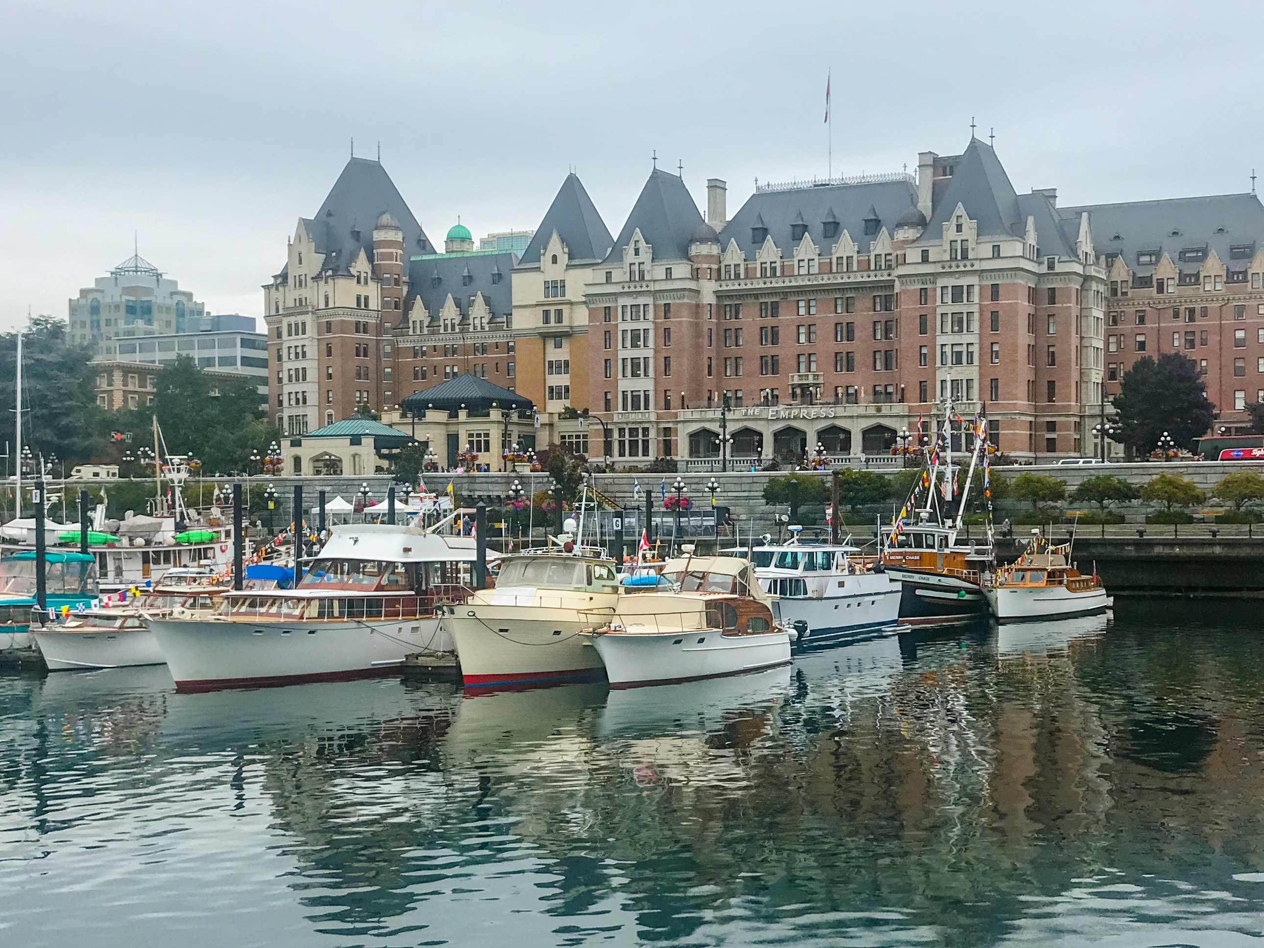 Victoria. |
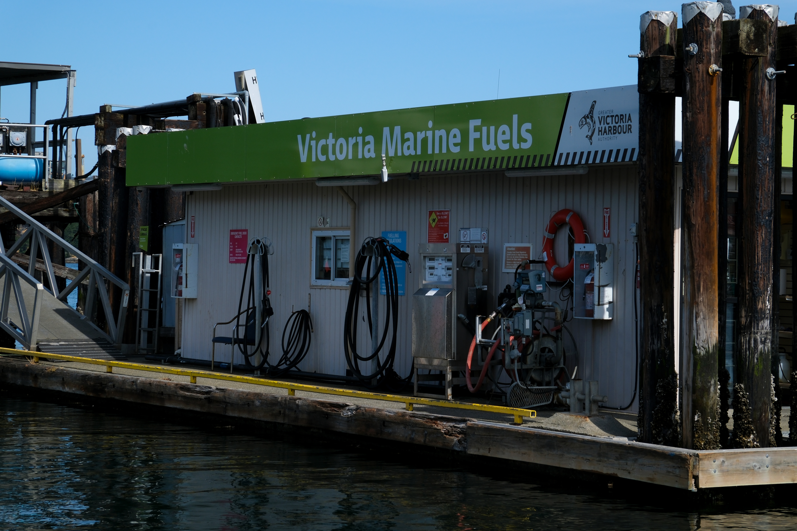 Victoria. |
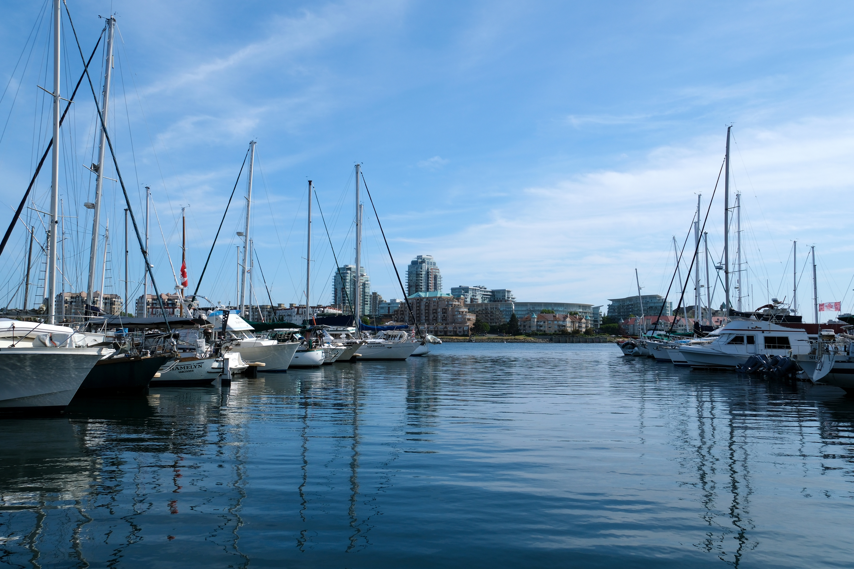 Victoria. |
Day 14: Victoria to Genoa Bay
Todays travel distance: 40.9 miles / 65.8 km / 47.1 NM
Nights staying: 1
Your Destination Genoa Bay
Gulf Islands
Coordinates Decimal: 48.761, -123.597
Coordinates Degrees Minutes Seconds(DMS): 48° 45′ 39.600″N, -124° 24′ 10.800″W
Day 15: Genoa Bay to Bedwell Harbour
Todays travel distance: 21.4 miles / 34.4 km / 24.6 NM
Nights staying: 1
Your Destination Bedwell Harbour
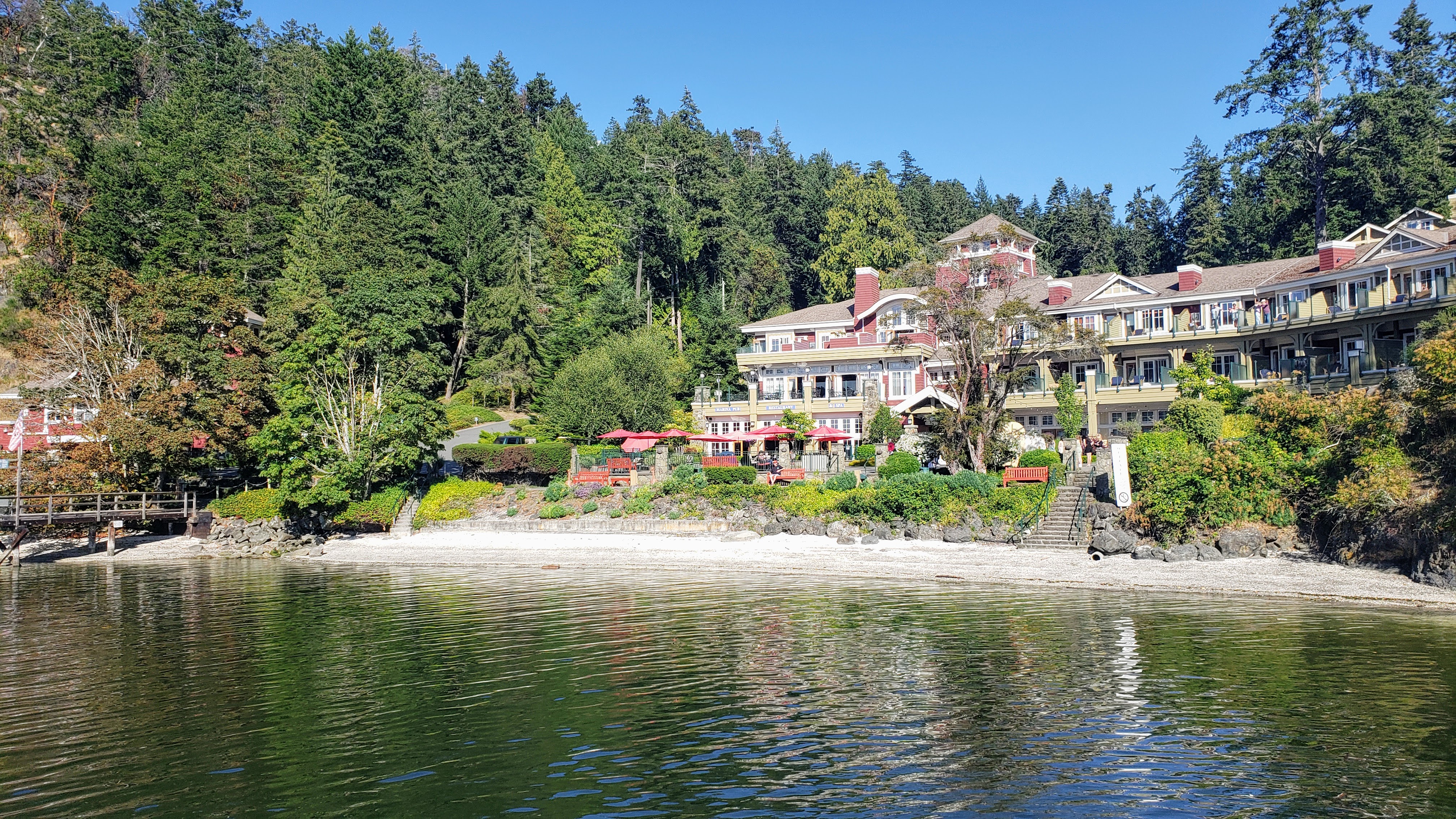
Bedwell Harbour.
Gulf Islands
Coordinates Decimal: 48.752, -123.243
Coordinates Degrees Minutes Seconds(DMS): 48° 45′ 7.560″N, -124° 45′ 25.920″W
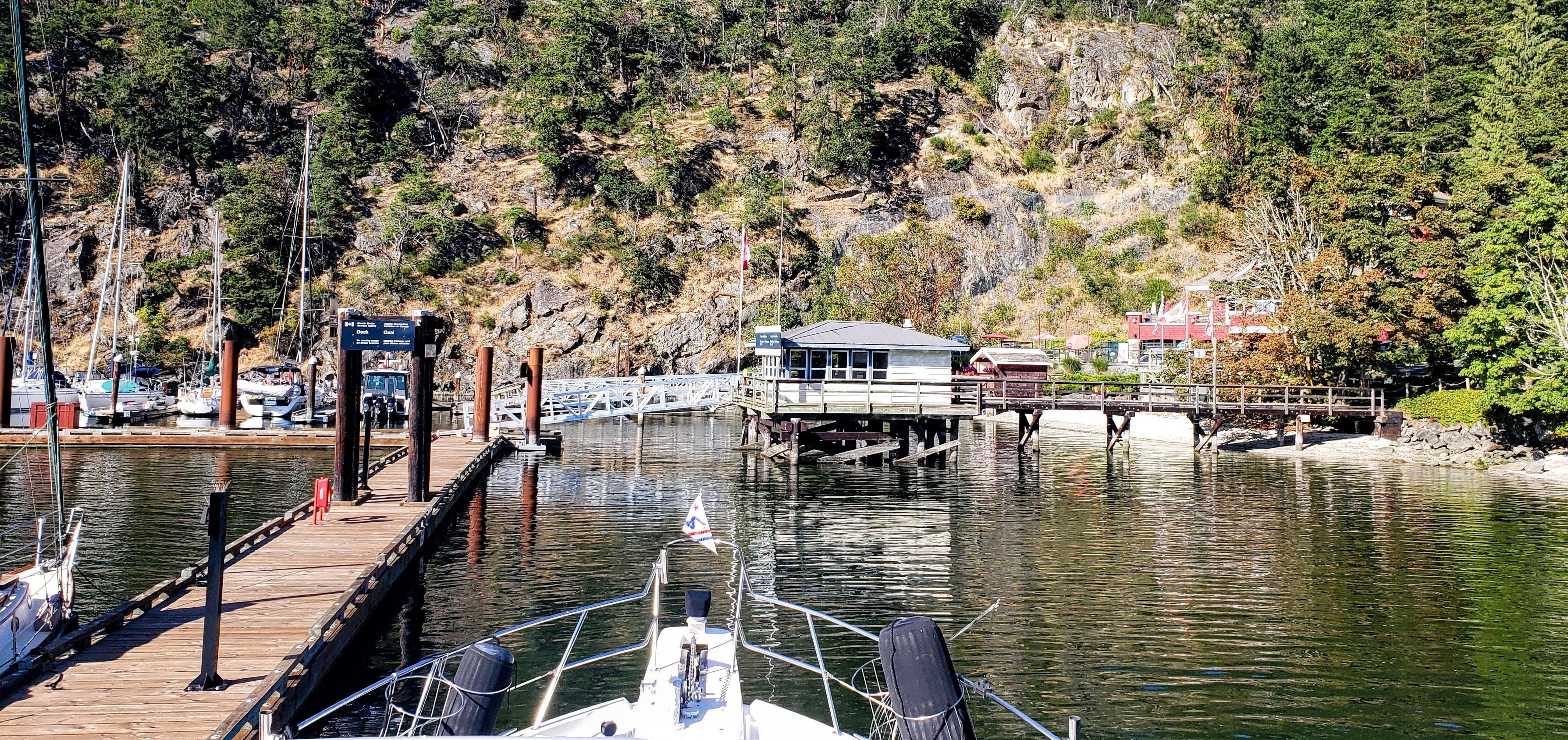 Bedwell Harbour. |
Day 16: Bedwell Harbour to Ganges
Todays travel distance: 18.1 miles / 29.1 km / 20.8 NM
Nights staying: 1
Your Destination Ganges
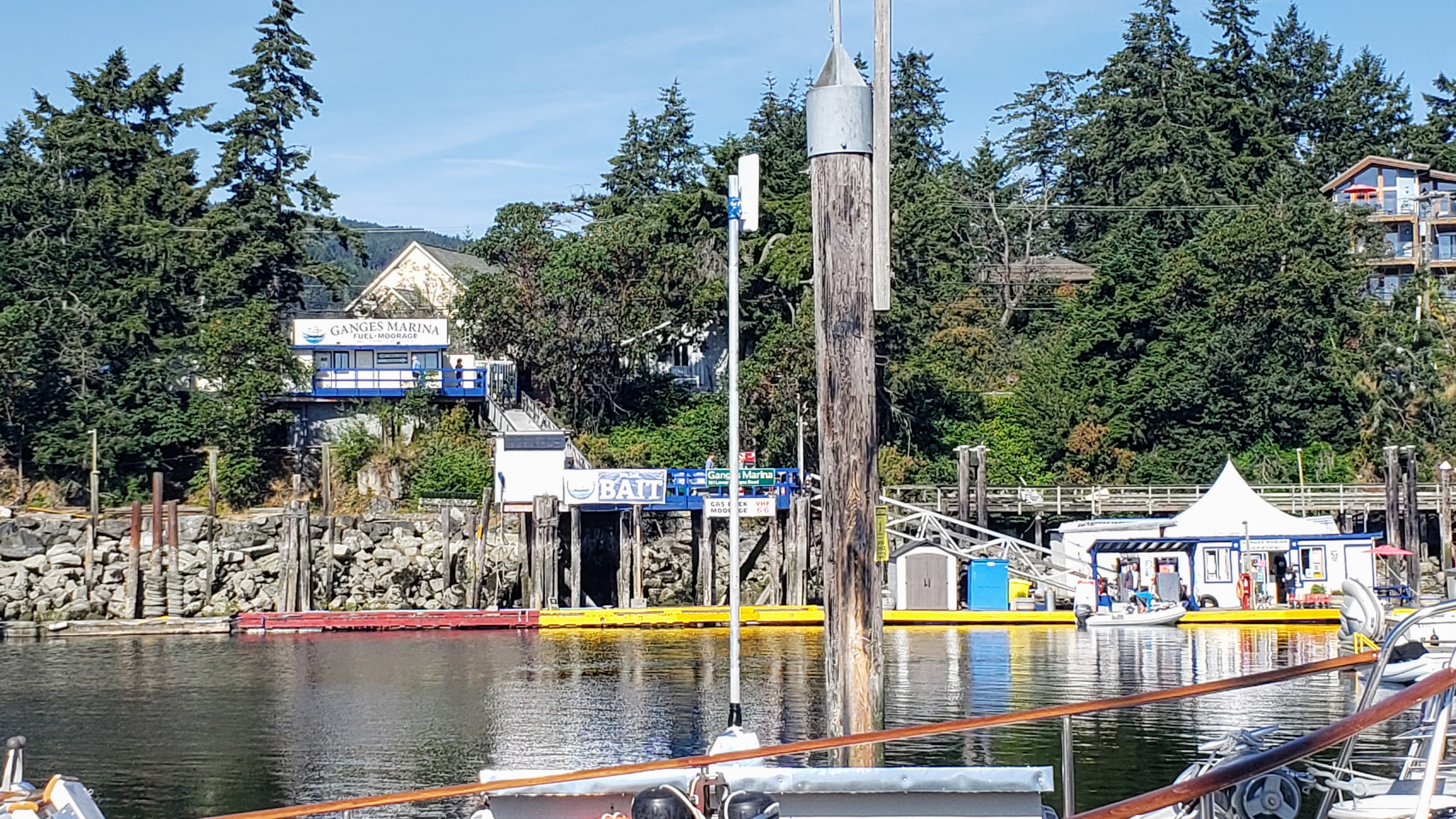
Ganges.
Bay
Gulf Islands
Coordinates Decimal: 48.855, -123.499
Coordinates Degrees Minutes Seconds(DMS): 48° 51′ 18.000″N, -124° 30′ 3.600″W
Ganges, the picturesque heart of Salt Spring Island in British Columbia, is a haven for boaters and sea-lovers alike. Nestled in the Southern Gulf Islands, this charming town offers a serene escape with its stunning natural beauty and vibrant community spirit. As the main commercial and cultural center of Salt Spring Island, Ganges is bustling with activity, featuring quaint shops, local art galleries, and a variety of restaurants that serve up fresh, local cuisine.
The town is most famous for its boating culture. The Ganges Harbour is a bustling hub, teeming with sailboats, yachts, and dinghies. Marinas and docks line the waterfront, offering services and amenities for seafarers embarking on their next marine adventure. The sheltered waters of the harbour make it a perfect mooring spot, and the surrounding seascape of BC provides some of the world’s most scenic sailing routes.
What truly sets Ganges apart is its vibrant community. The famous Salt Spring Island Saturday Market is a must-visit, where locals and visitors alike peruse the stalls for handcrafted goods, local produce, and unique art, all while enjoying the lively atmosphere. Cultural events, music festivals, and art shows are frequent, reflecting the town’s creative and eclectic spirit.
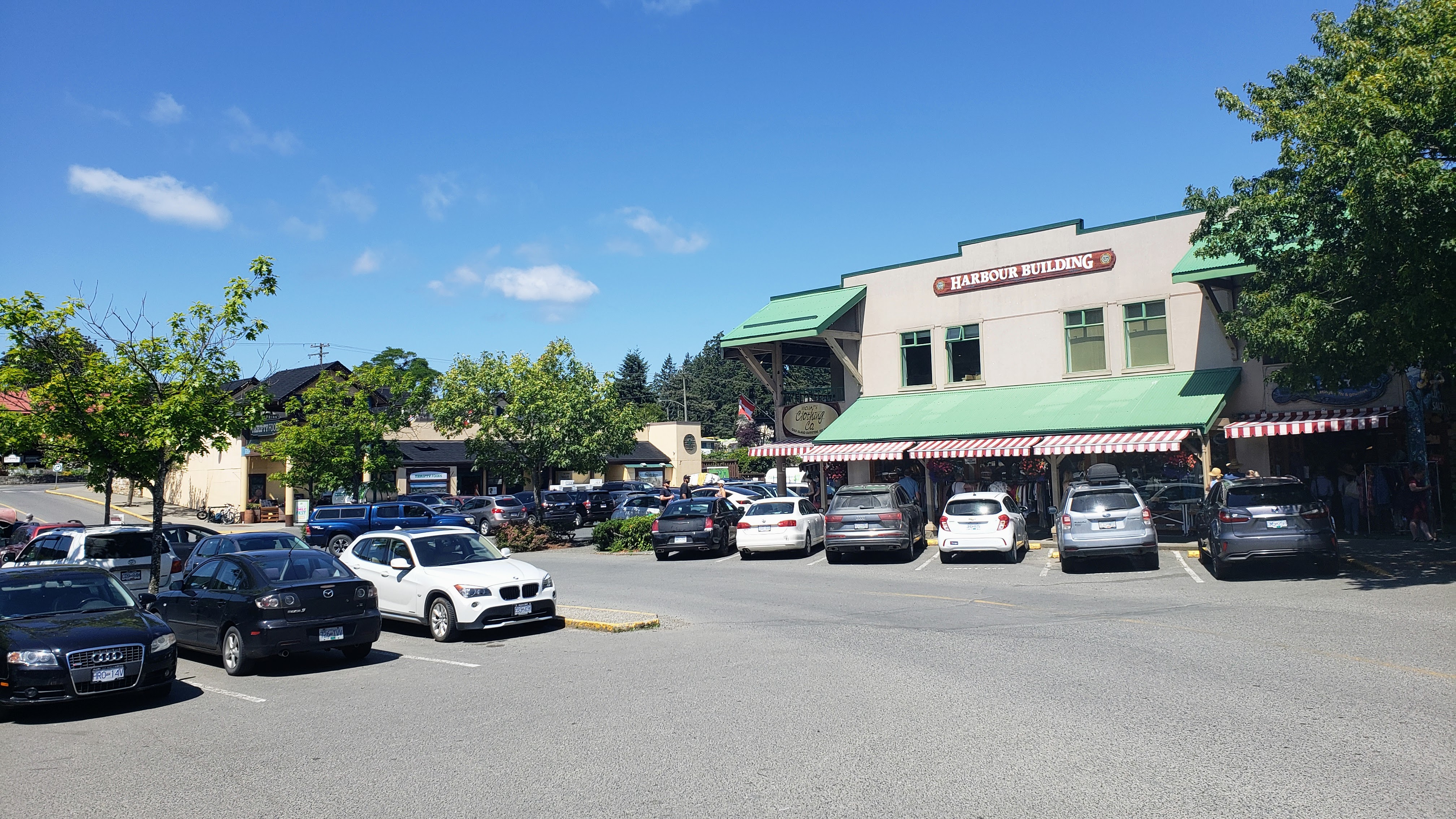 Ganges |
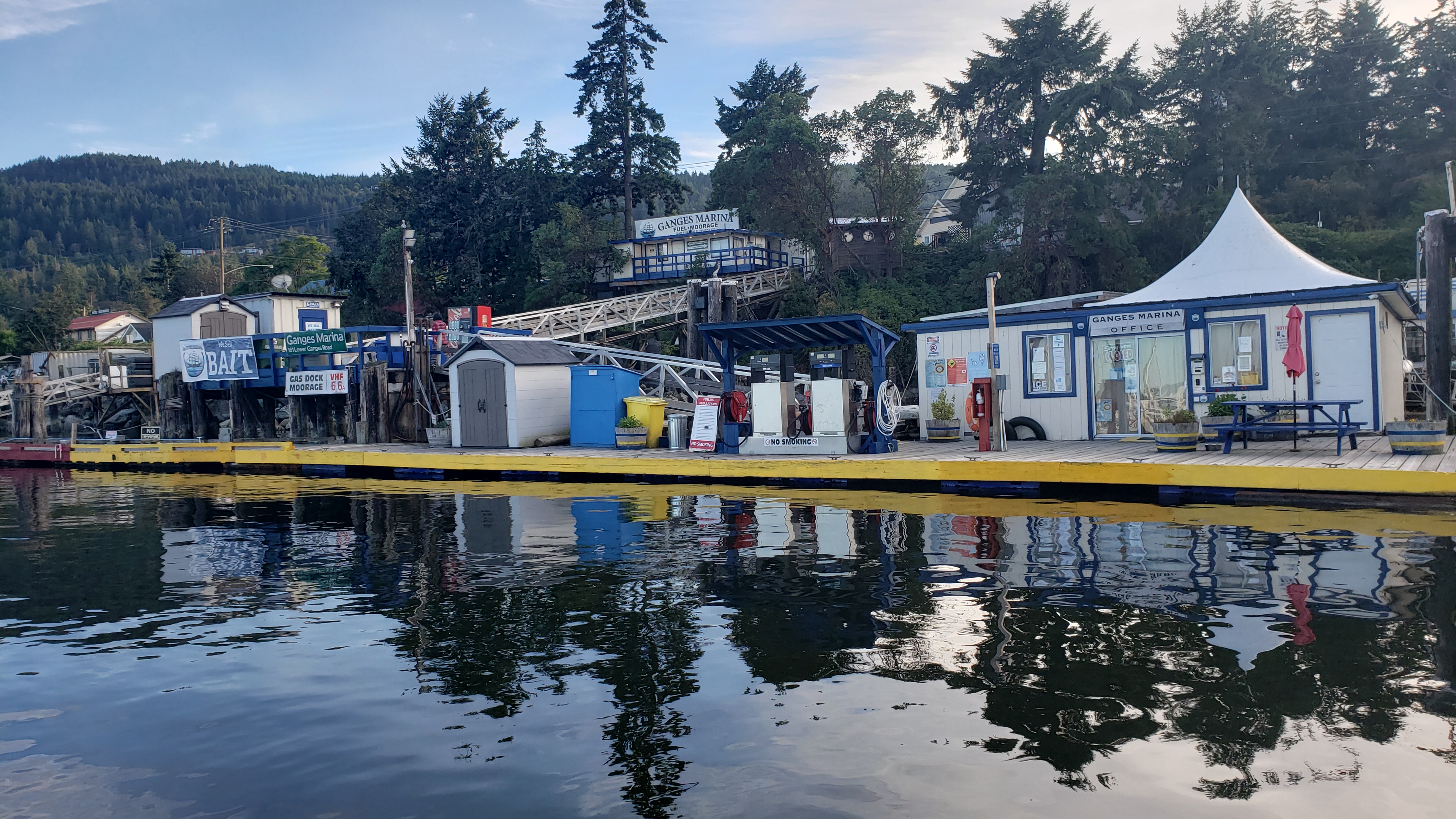 Ganges |
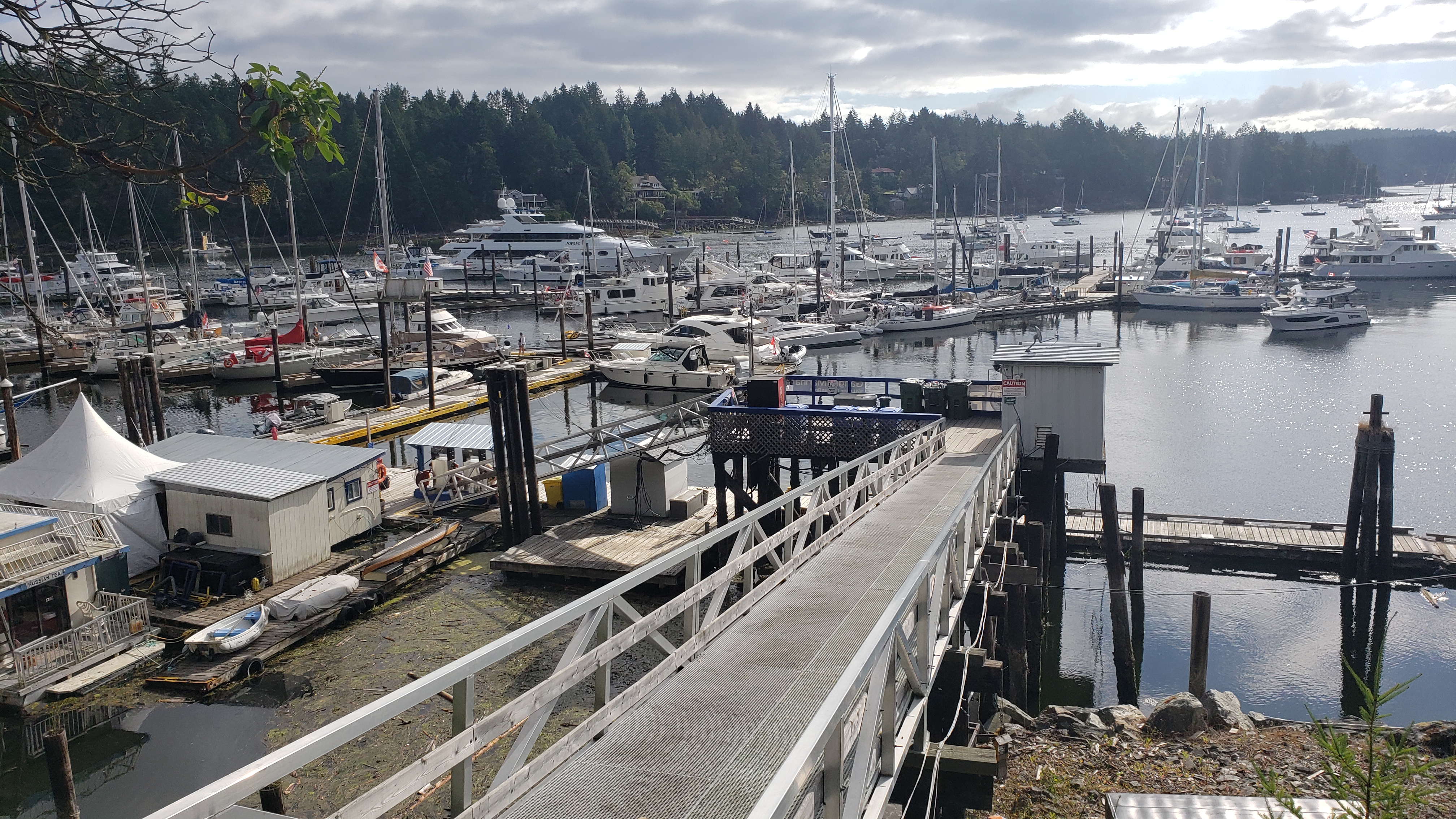 Ganges |
Day 17: Ganges to Montague Harbour
Todays travel distance: 7.9 miles / 12.7 km / 9.1 NM
Nights staying: 1
Your Destination Montague Harbour
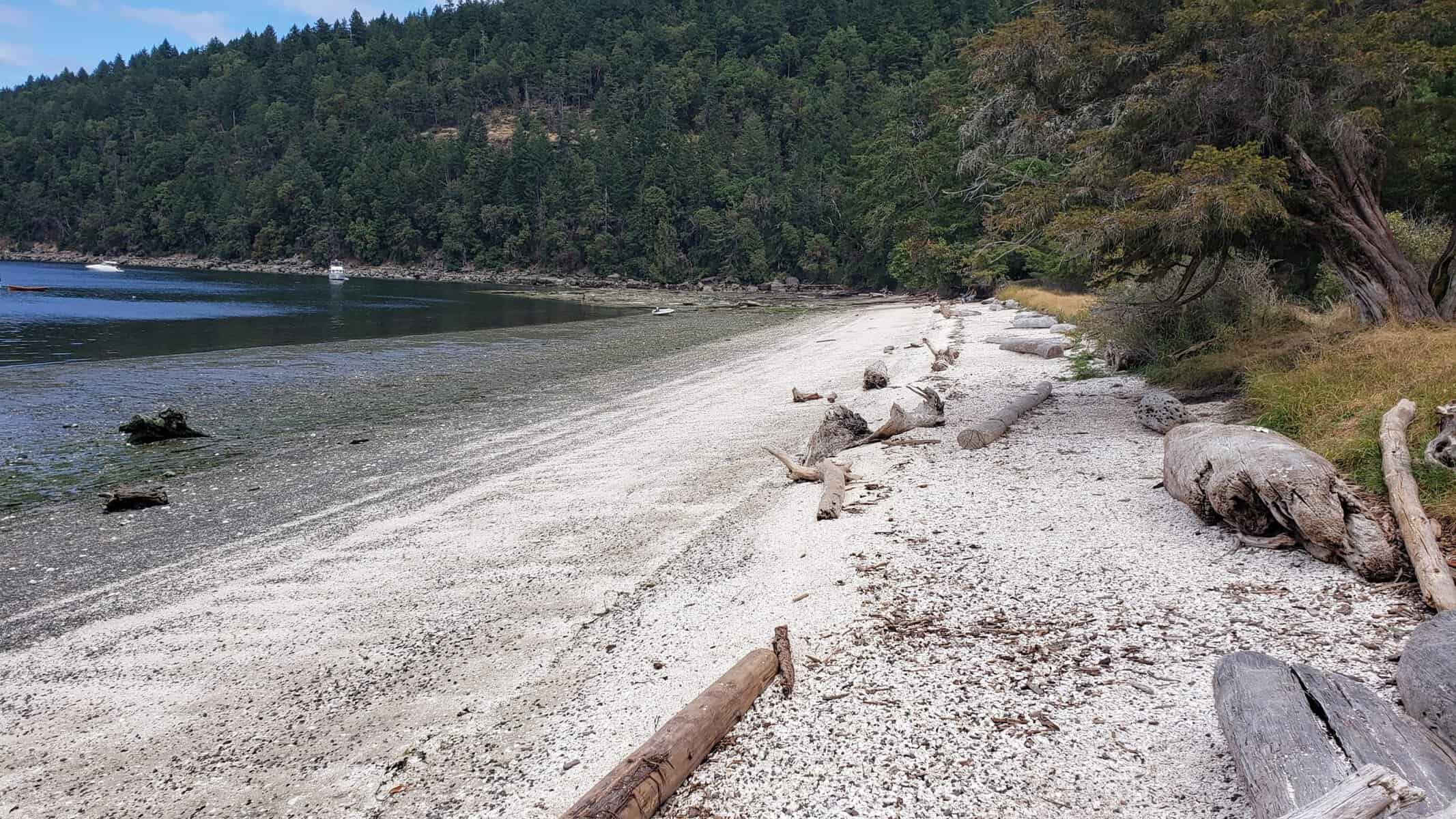
Beach to the north of Montague Harbour.
Gulf Islands
Coordinates Decimal: 48.891, -123.395
Coordinates Degrees Minutes Seconds(DMS): 48° 53′ 27.240″N, -124° 36′ 16.920″W
Amazing sunsets. Don’t miss out on the bus that you can take to the local pub, it is quite an experience.
Montague Harbour offers sheltered moorage with good anchoring, at depths from 20 to 50 feet.
Even though there can be many boats in this harbour, it is a great place to visit and you can usually find a place to drop anchor or to tie to a mooring buoy.
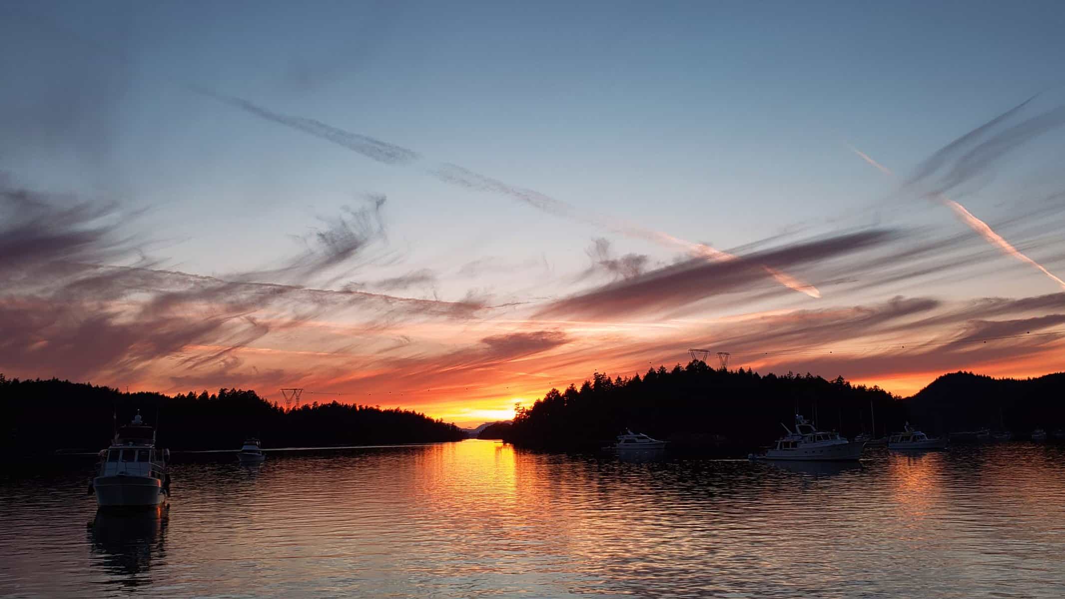 Sunset at Montague Harbour. |
 Montague Harbour. |
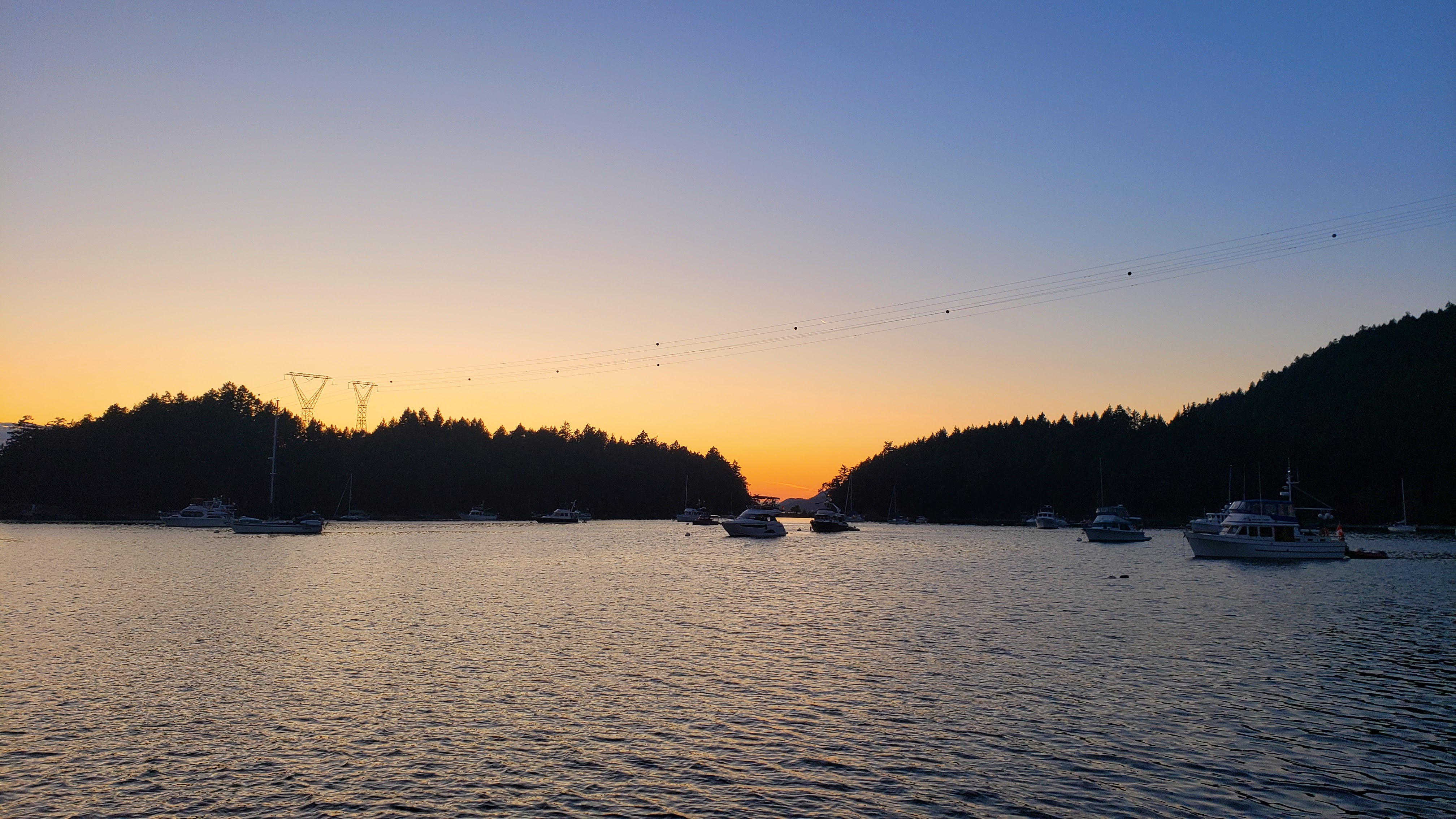 Sunset at Montague Harbour. |
Day 18: Montague Harbour to Cabbage Island Marine Park
Todays travel distance: 27.5 miles / 44.3 km / 31.6 NM
Nights staying: 1
Your Destination Cabbage Island Marine Park
Gulf Islands
Coordinates Decimal: 48.796, -123.085
Coordinates Degrees Minutes Seconds(DMS): 48° 47′ 45.600″N, -124° 54′ 54.000″W
Day 19: Cabbage Island Marine Park to Silva Bay Resort
Todays travel distance: 37.7 miles / 60.7 km / 43.4 NM
Nights staying: 1
Your Destination Silva Bay Resort
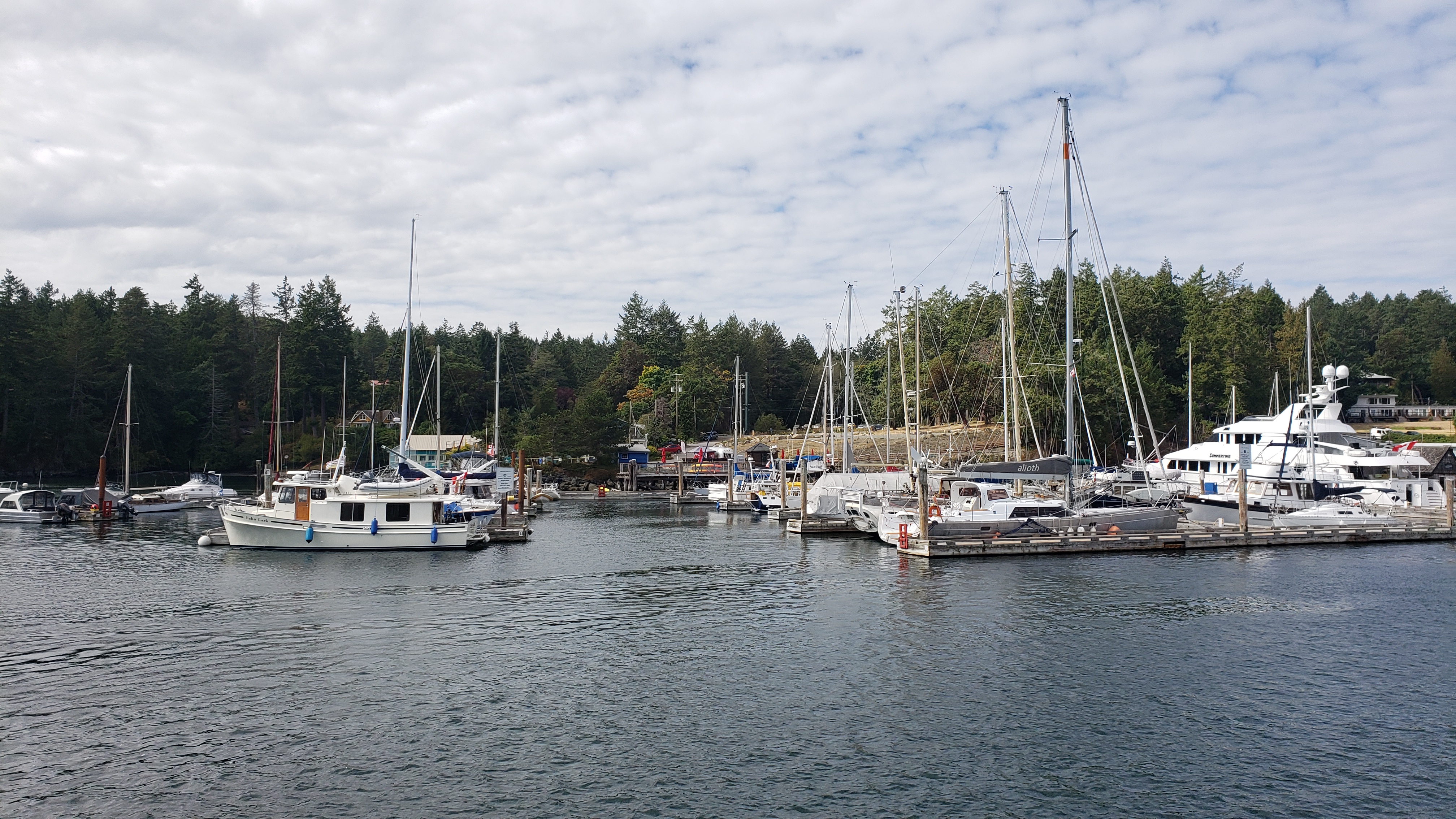
Silva Bay Resort
Gulf Islands
Coordinates Decimal: 49.150, -123.696
Coordinates Degrees Minutes Seconds(DMS): 49° 9′ 1.692″N, -124° 18′ 13.320″W
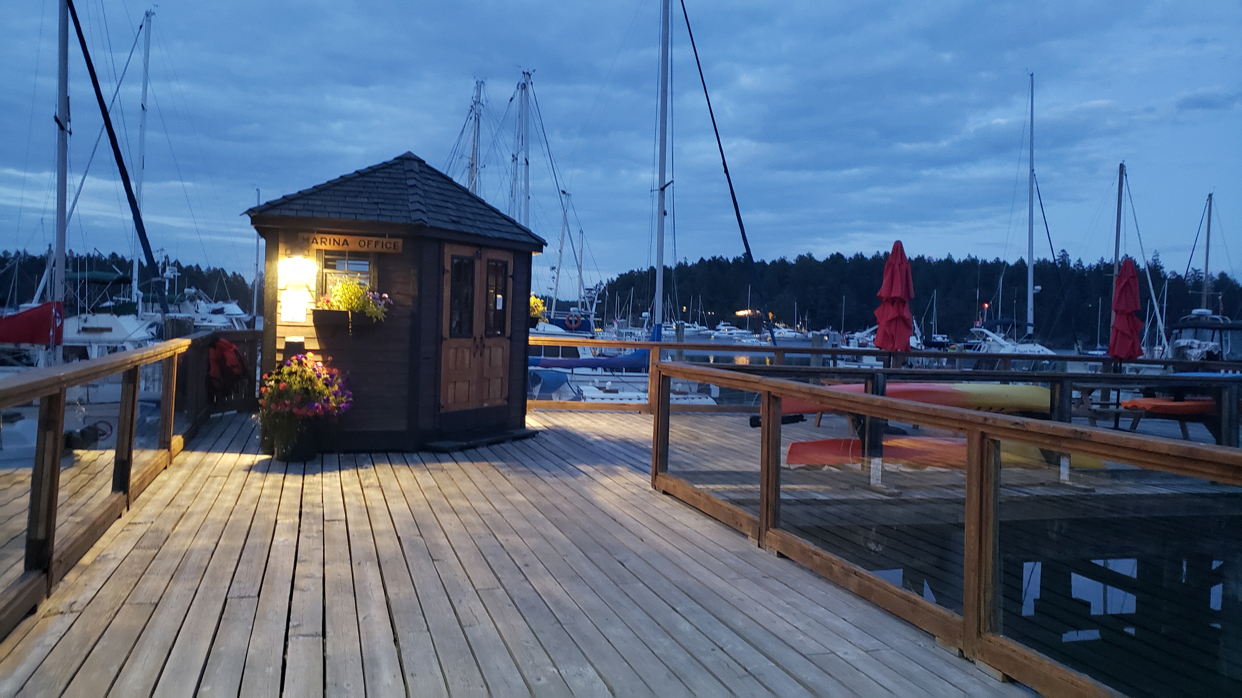 Silva Bay Resort. |
Day 20: Silva Bay Resort to False Creek
Todays travel distance: 28.4 miles / 45.7 km / 32.7 NM
Nights staying: 0
Your Destination False Creek
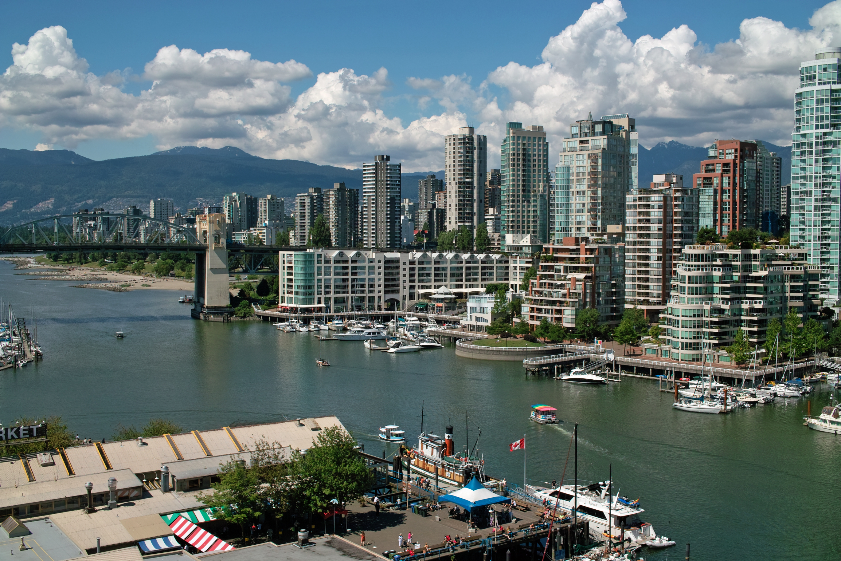
False Creek Vancouver.
Vancouver
Coordinates Decimal: 49.269, -123.124
Coordinates Degrees Minutes Seconds(DMS): 49° 16′ 8.400″N, -124° 52′ 33.600″W
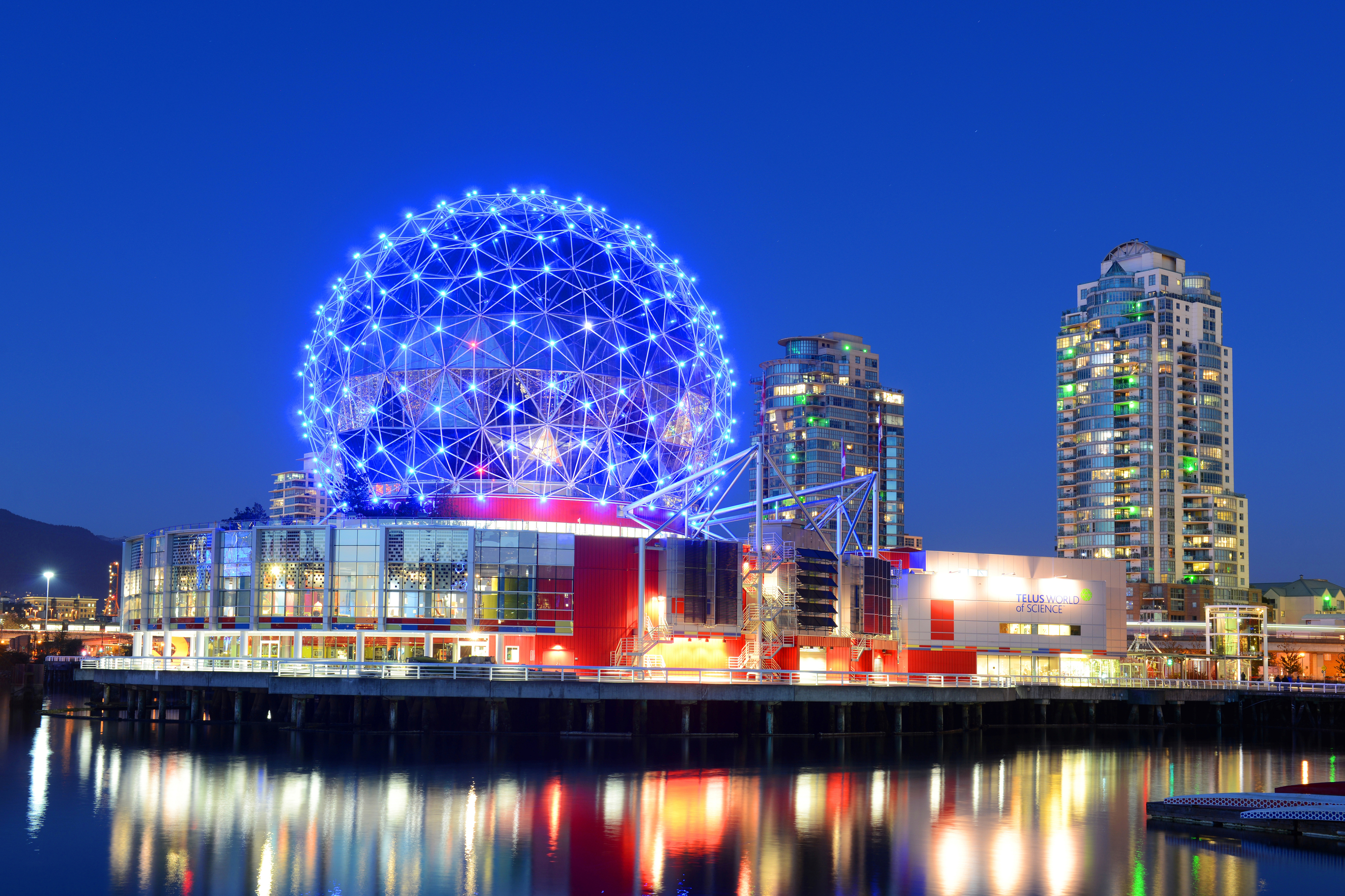 Science Center at False Creek. |
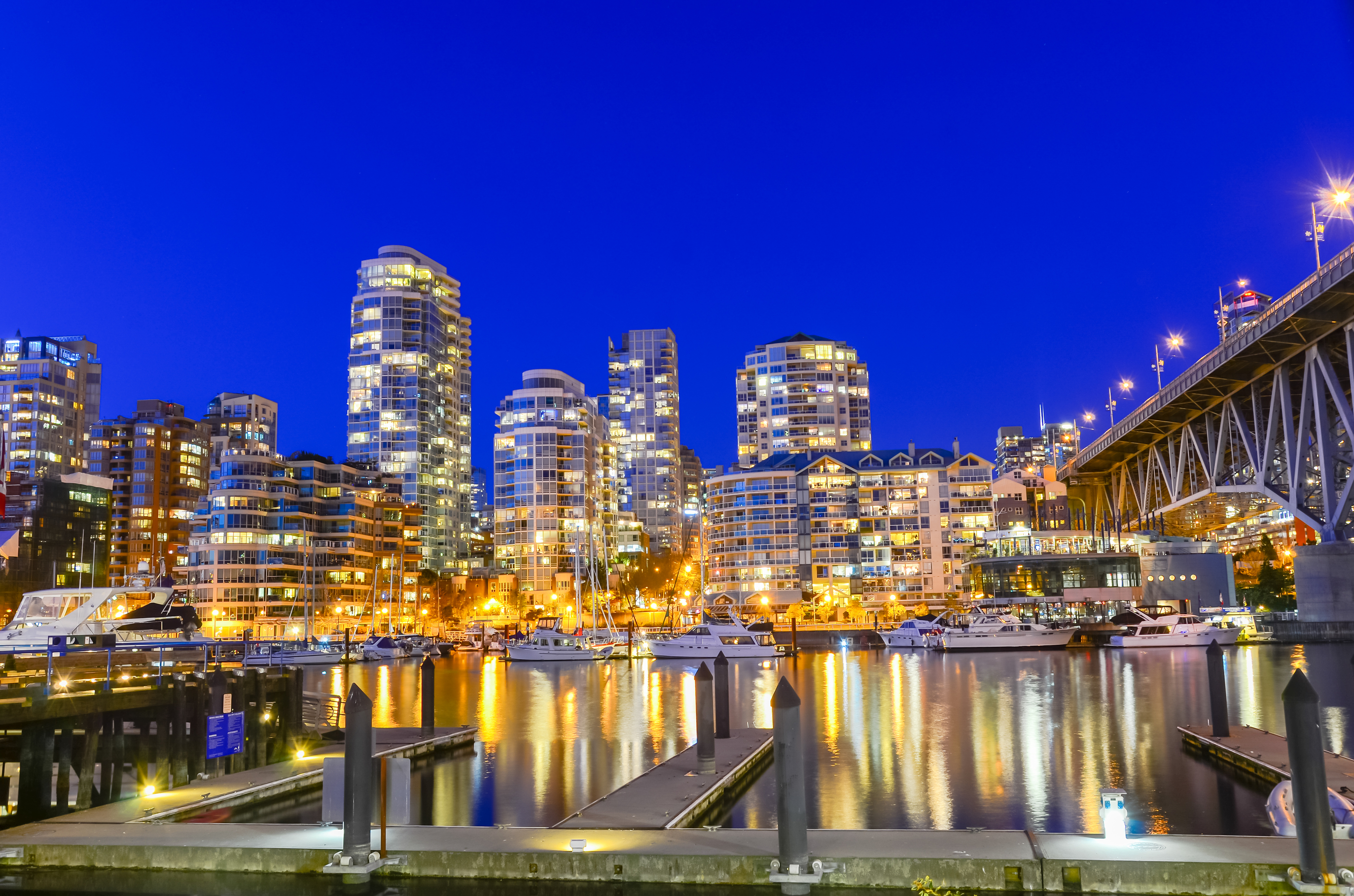 False Creek Vancouver. |
Download this this route and other routes in the Gulf Island, Desolation Sound and The Broughtons. Download so you can use them offline on your phone, tablet, or laptop when you cruising.
https://bc.boatinglocations.com/route-downloads/
