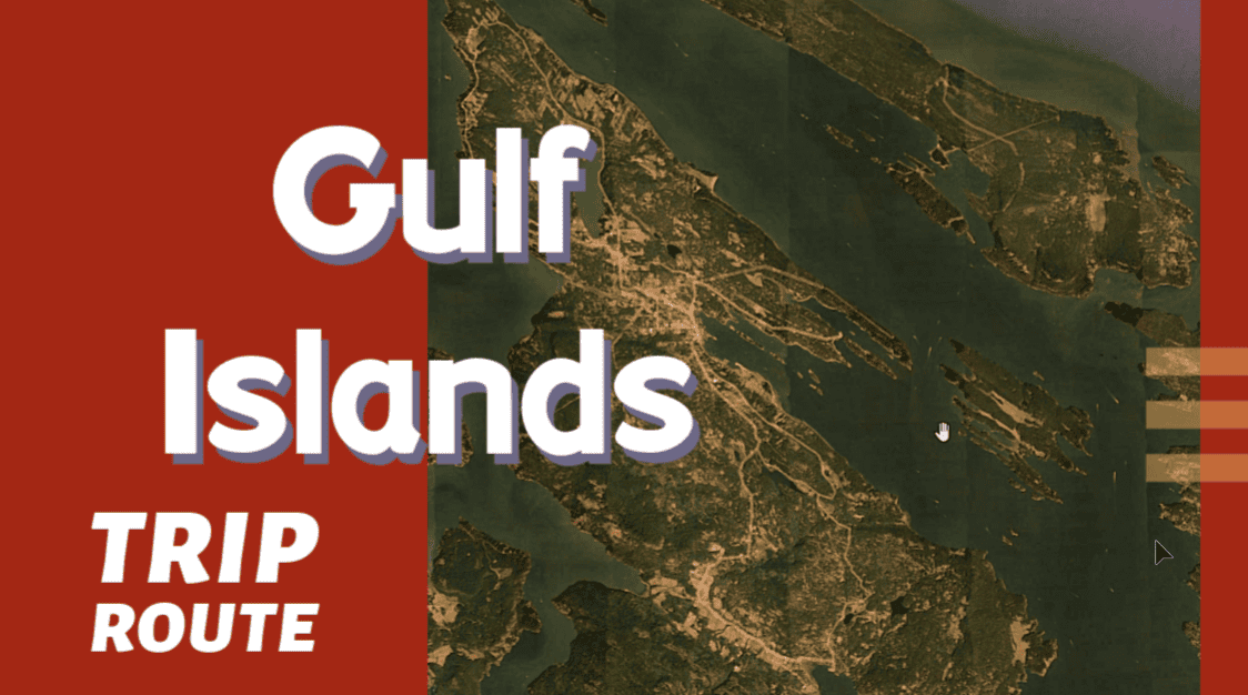
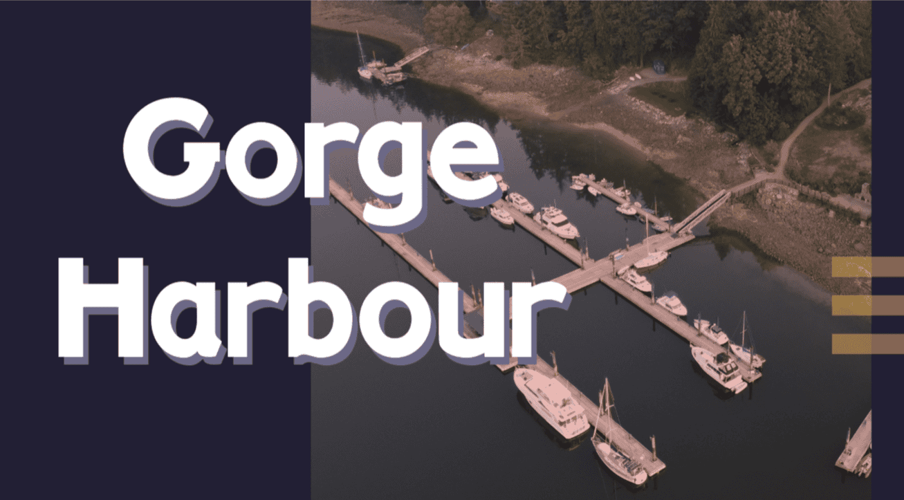
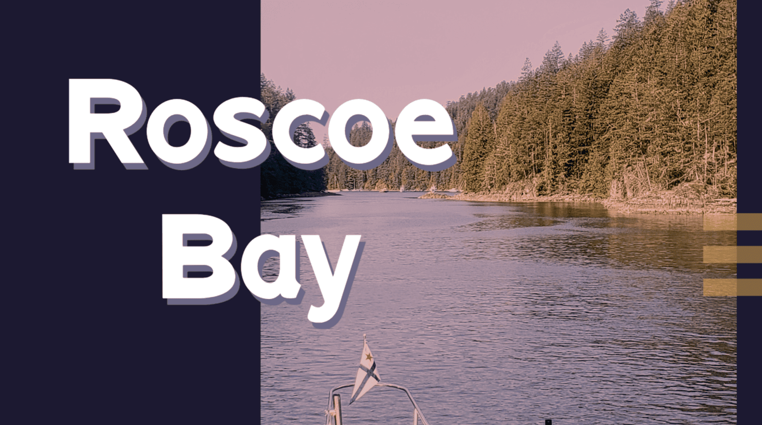
Download routes to this location and other routes in the Gulf Island, Desolation Sound and The Broughtons. Download so you can use them offline on your phone, tablet, or laptop when you cruising.
https://bc.boatinglocations.com/route-downloads/
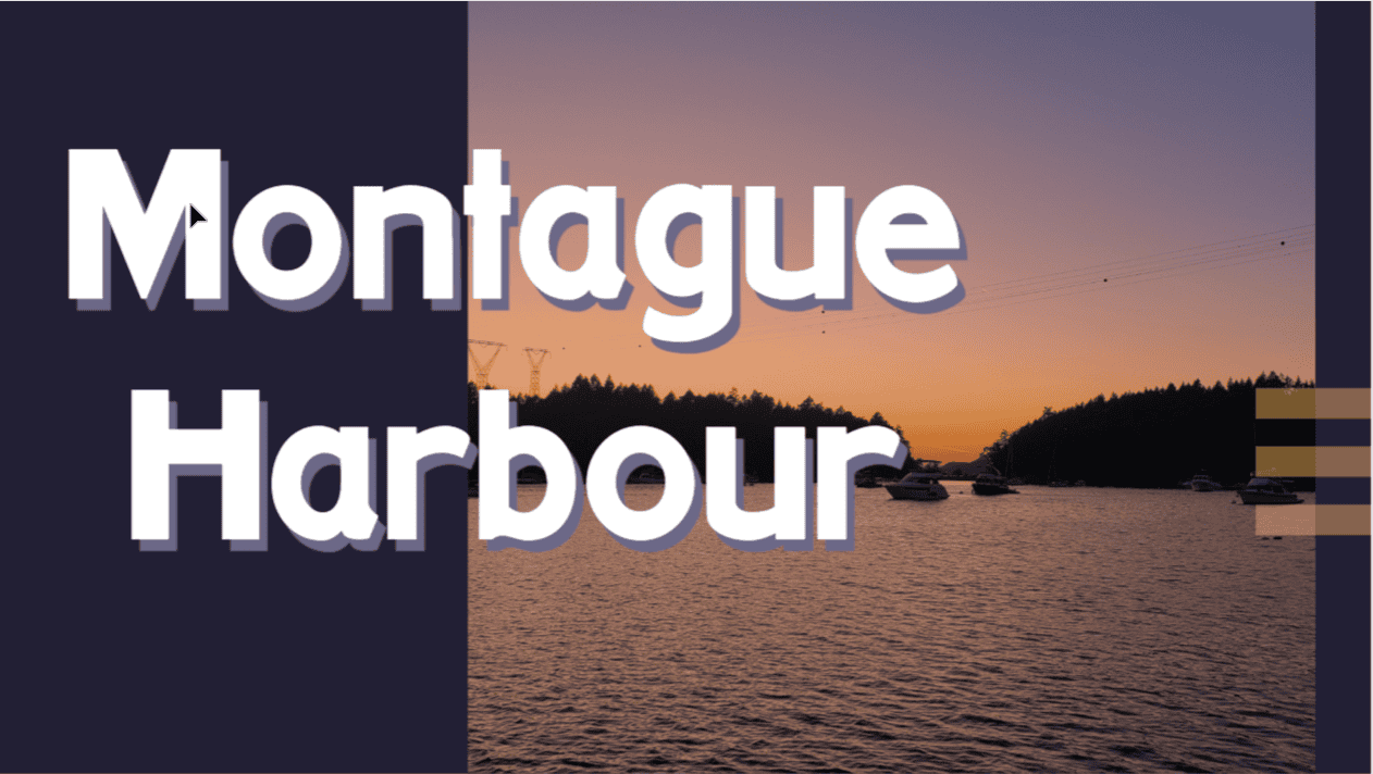
Montague Harbour
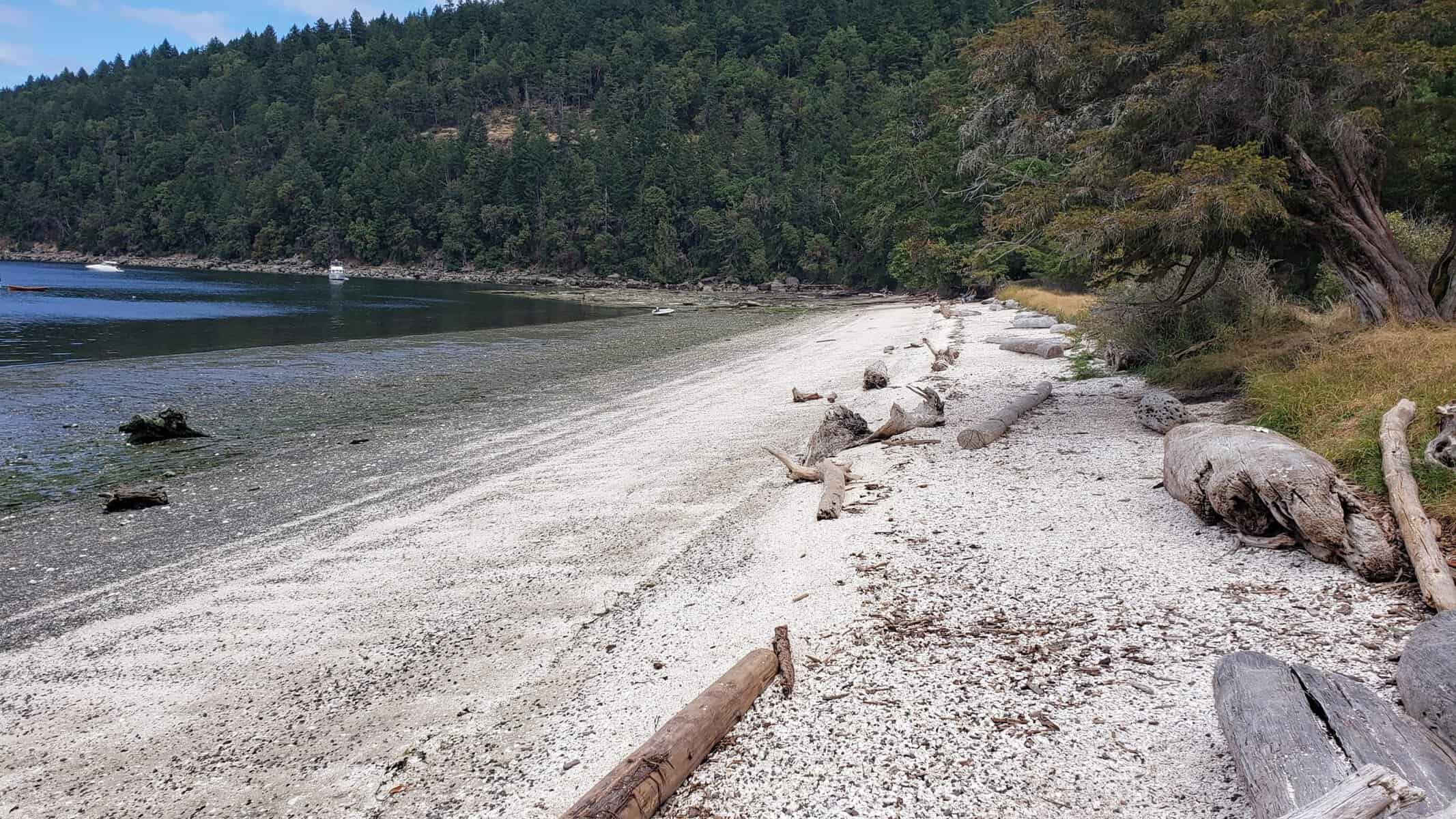
Beach to the north of Montague Harbour.
Gulf Islands
Coordinates Decimal: 48.891, -123.395
Coordinates Degrees Minutes Seconds(DMS): 48° 53′ 27.240″N, -124° 36′ 16.920″W
Amazing sunsets. Don’t miss out on the bus that you can take to the local pub, it is quite an experience.
Montague Harbour offers sheltered moorage with good anchoring, at depths from 20 to 50 feet.
Even though there can be many boats in this harbour, it is a great place to visit and you can usually find a place to drop anchor or to tie to a mooring buoy.
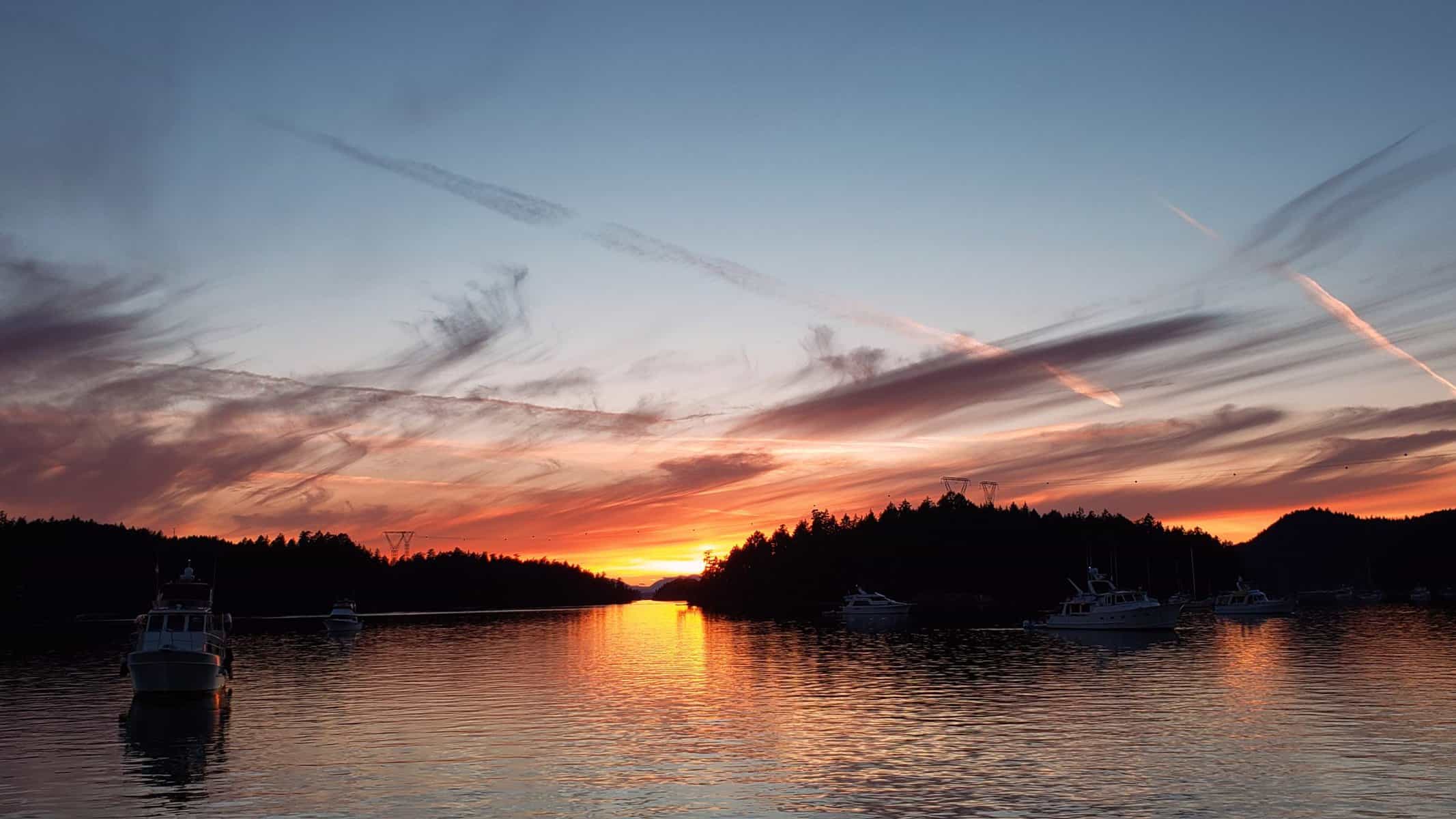
Sunset at Montague Harbour.

Montague Harbour.
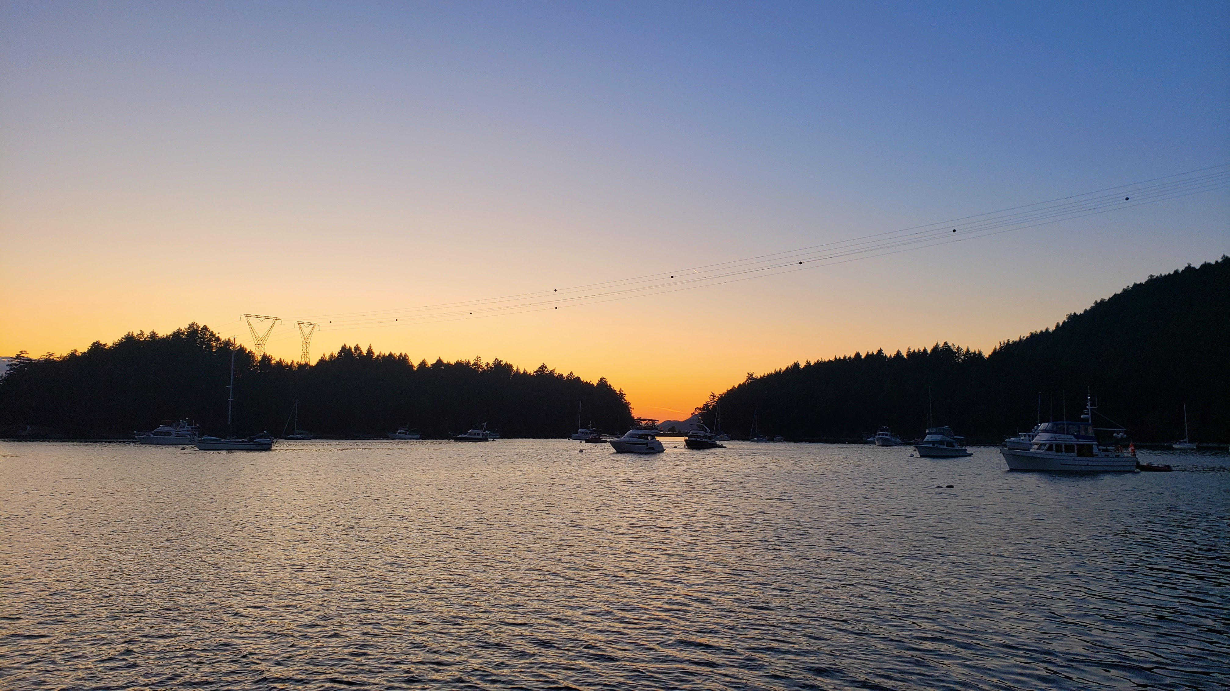
Sunset at Montague Harbour.
Nearby Locations
| Nearby Location | Distance |
| Ganges | 7.9 |
| Wallace Island | 9.3 |
| Secretary Islands | 10.4 |
| Lyall Harbour | 12.3 |
| Russell Island | 12.6 |
| Princess Bay – Portland Island | 13.1 |
| Thetis Island Marina | 17.4 |
| Telegraph Harbour | 17.8 |
| Bedwell Harbour | 18.4 |
| Sidney | 18.5 |
Download routes to this location and other routes in the Gulf Island, Desolation Sound and The Broughtons. Download so you can use them offline on your phone, tablet, or laptop when you cruising.
https://bc.boatinglocations.com/route-downloads/
