Download routes to this location and other routes in the Gulf Island, Desolation Sound and The Broughtons. Download so you can use them offline on your phone, tablet, or laptop when you cruising.
https://bc.boatinglocations.com/route-downloads/
Heriot Bay Resort
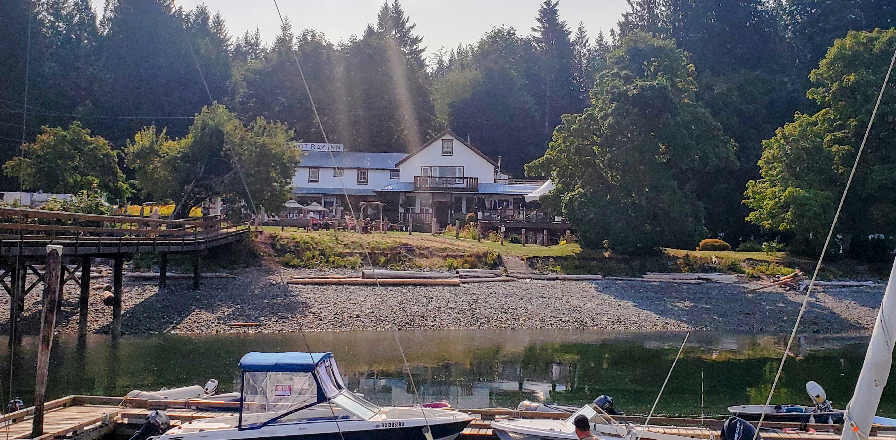
Heriot Bay
Desolation Sound
Coordinates Decimal: 50.103, -125.212
Coordinates Degrees Minutes Seconds(DMS): 50° 6′ 10.800″N, -126° 47′ 16.800″W
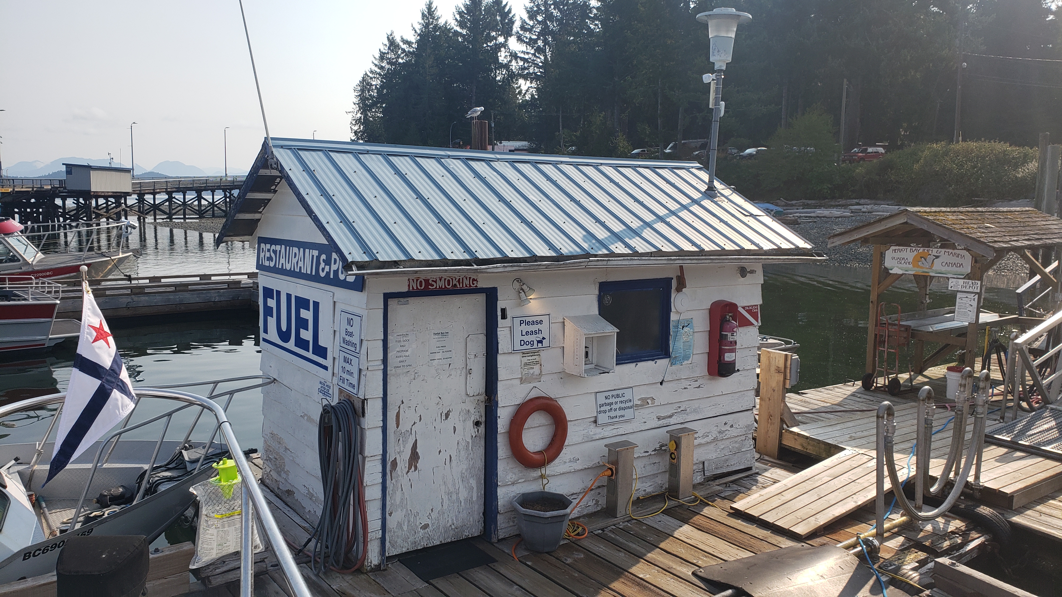
Heriot Bay Fuel Dock
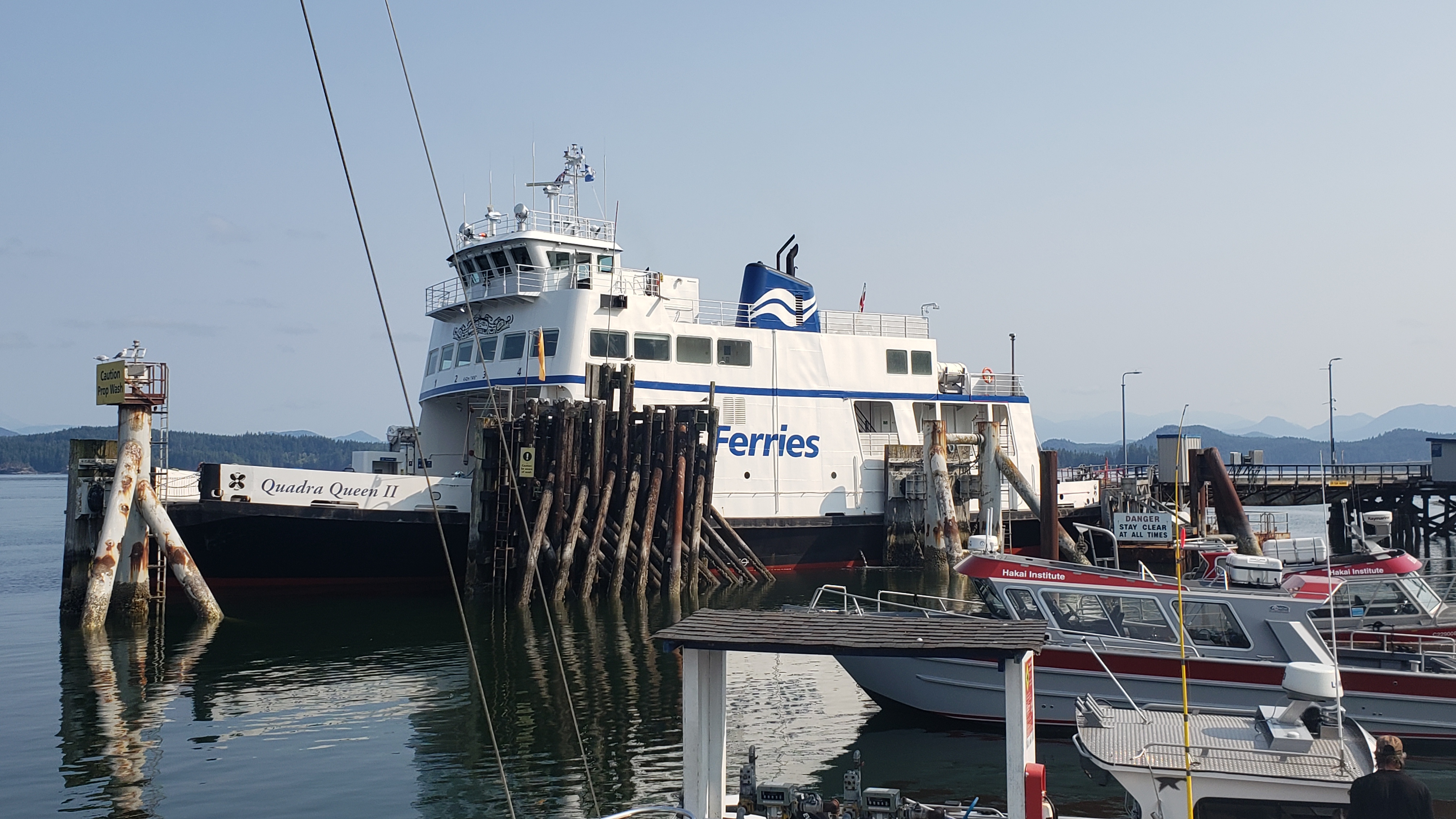
Heriot Bay right next to the ferry.
Heriot Bay
Nearby Locations
| Nearby Location | Distance |
| Quadra Island Harbor Authority | 0.1 |
| Taku Resort and Marina | 0.8 |
| Rebecca Spit Marine Provincial Park | 0.9 |
| Carrington Bay | 9.0 |
| Gorge Harbour | 10.5 |
| Quartz Bay | 10.7 |
| Hathayim Marine Park | 12.5 |
| Mansons Landing Provincial Park | 14.0 |
| Octopus Islands Marine Provincial Park | 15.0 |
| Campbell River | 17.4 |
Download routes to this location and other routes in the Gulf Island, Desolation Sound and The Broughtons. Download so you can use them offline on your phone, tablet, or laptop when you cruising.
https://bc.boatinglocations.com/route-downloads/
Related Posts

Pets on Board – Tips for safety
Keeping Your Pets Safe When Boating: A Comprehensive Guide Boating…
Discovering the Gulf Islands by Boat
Discovering the Gulf Islands by Boat: A British Columbia Adventure…