Embarking on a voyage from Bedwell Harbour to the enchanting Gulf Islands offers a captivating maritime journey filled with natural beauty and tranquil seascapes. This eight-day expedition promises an exploration of diverse islands, each with its own unique charm and ecosystem. As you set sail, the gentle lap of the waves against your vessel and the whispering winds through the sails create an atmosphere of peaceful adventure. The Gulf Islands, renowned for their picturesque landscapes and abundant marine life, beckon you to immerse yourself in their serene embrace and discover the hidden gems lying beyond each shoreline.
Throughout your journey, you’ll encounter a tapestry of secluded inlets, lush forested landscapes, and quaint island communities that dot this Pacific Northwest archipelago. Each day unfolds with new opportunities to explore vibrant wildlife preserves, bask in the warmth of sun-drenched beaches, and engage with the welcoming locals eager to share their island culture.
Download this this route and other routes in the Gulf Island, Desolation Sound and The Broughtons. Download so you can use them offline on your phone, tablet, or laptop when you cruising.
https://bc.boatinglocations.com/route-downloads/
Gulf Islands Trip Route for 8 days
Starting at Bedwell Harbour and ending at Bedwell Harbour
Total Trip Distance: 131.1 miles / 211.0 km / 150.9 NM
| Day | Route | Nights Staying Here | Distance |
| 1 | Bedwell Harbour to Maple Bay Marina | 1 | 24.9 miles / 40.1 km / 28.7 NM |
| 2 | Maple Bay Marina to Telegraph Harbour | 1 | 14.2 miles / 22.9 km / 16.3 NM |
| 3 | Telegraph Harbour to Nanaimo | 1 | 21.8 miles / 35.1 km / 25.1 NM |
| 4 | Nanaimo to Silva Bay Resort | 1 | 15.9 miles / 25.6 km / 18.3 NM |
| 5 | Silva Bay Resort to Wallace Island | 1 | 19.0 miles / 30.6 km / 21.9 NM |
| 6 | Wallace Island to Montague Harbour | 1 | 9.3 miles / 15.0 km / 10.7 NM |
| 7 | Montague Harbour to Ganges | 1 | 7.9 miles / 12.7 km / 9.1 NM |
| 8 | Ganges to Bedwell Harbour | 0 | 18.1 miles / 29.1 km / 20.8 NM |
Day 1: Bedwell Harbour to Maple Bay Marina
Travel distance: 24.9
Nights staying: 1
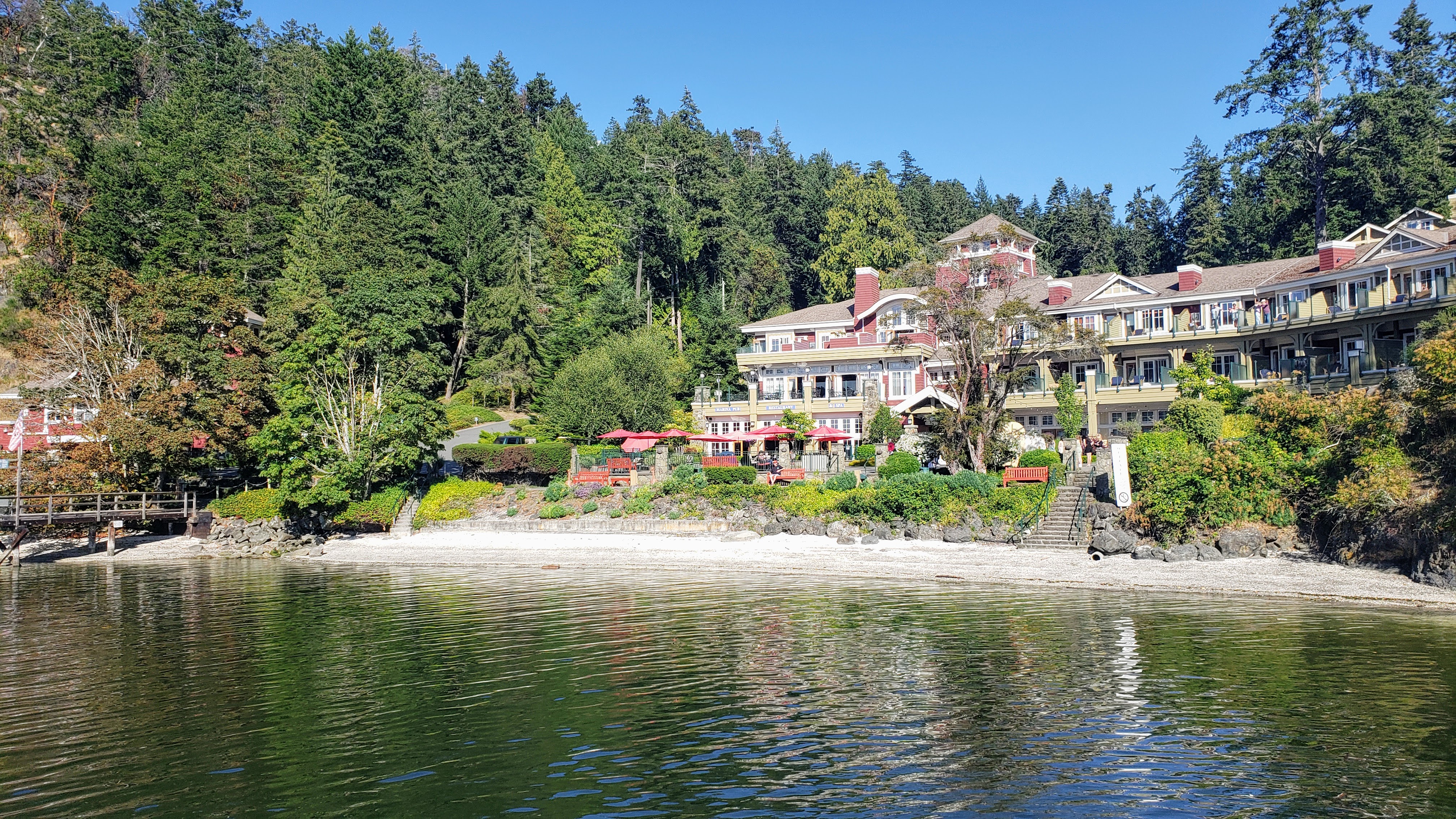
Your Destination Maple Bay Marina

Maple Bay view from the restaurant.
Gulf Islands
Coordinates Decimal: 48.795, -123.601
Coordinates Degrees Minutes Seconds(DMS): 48° 47′ 42.360″N, -124° 23′ 54.960″W
 On the docks at Maple Bay. |
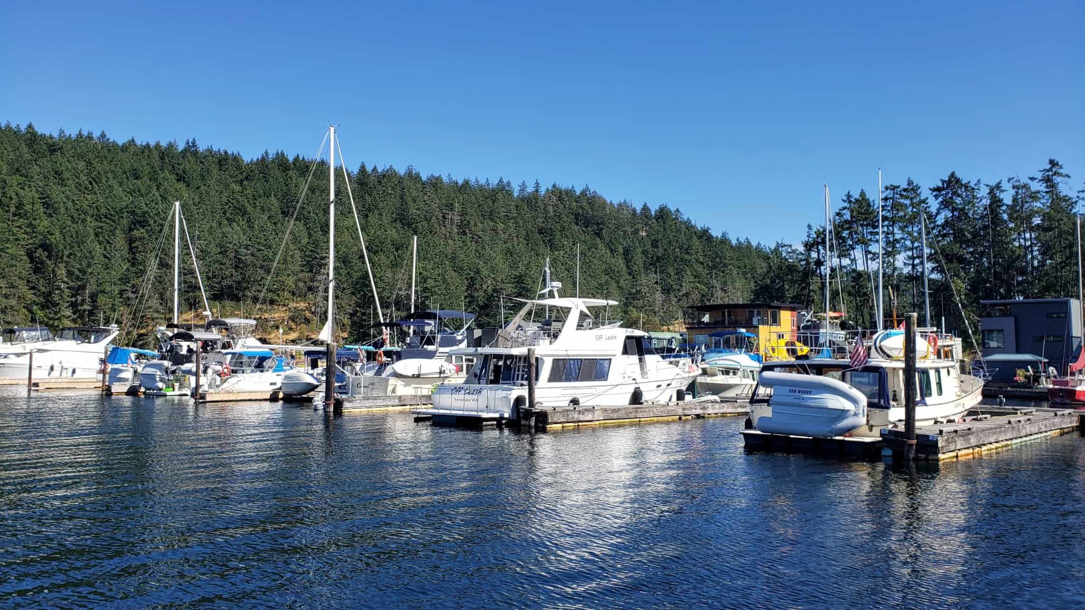
Day 2: Maple Bay Marina to Telegraph Harbour
Travel distance: 14.2
Nights staying: 1
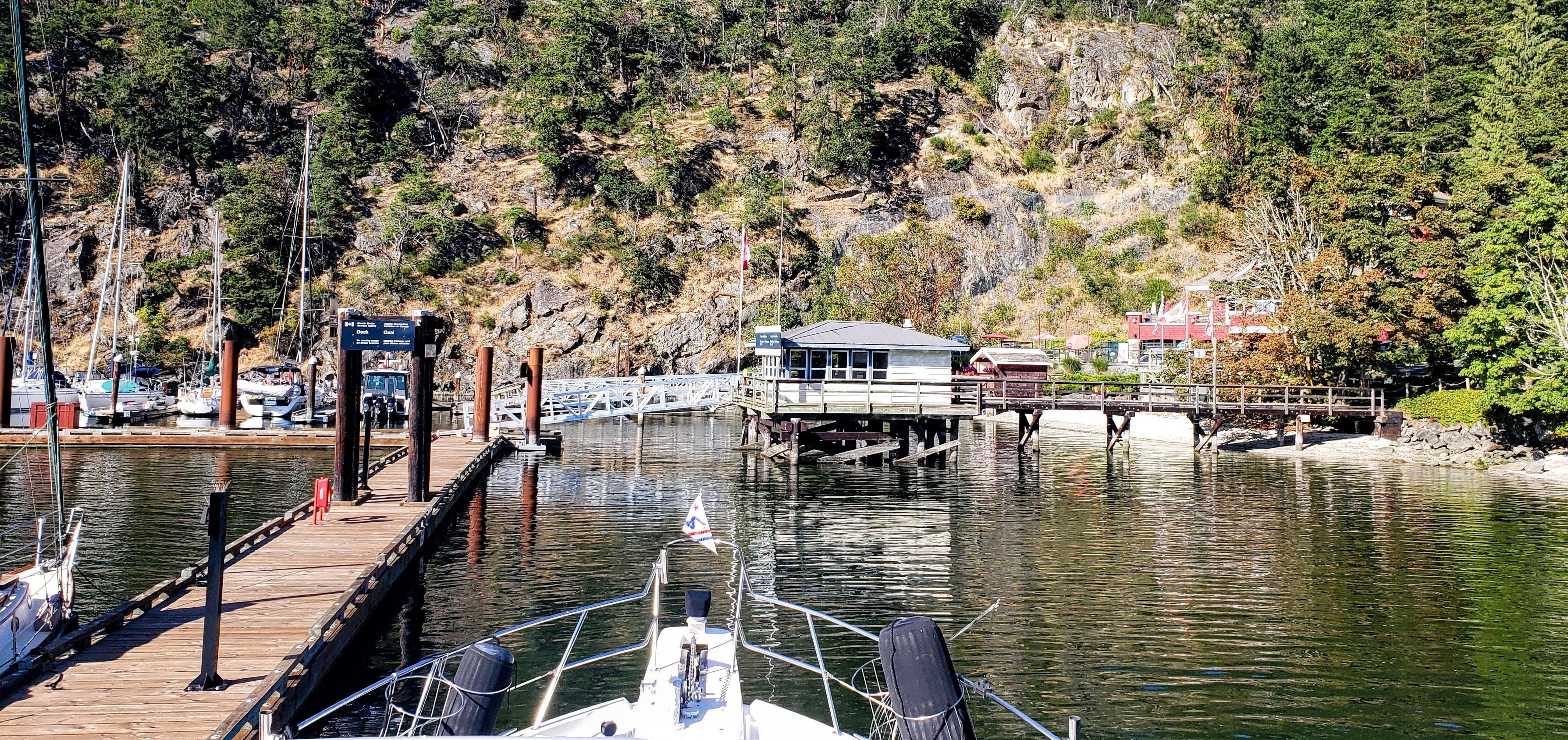
Your Destination Telegraph Harbour
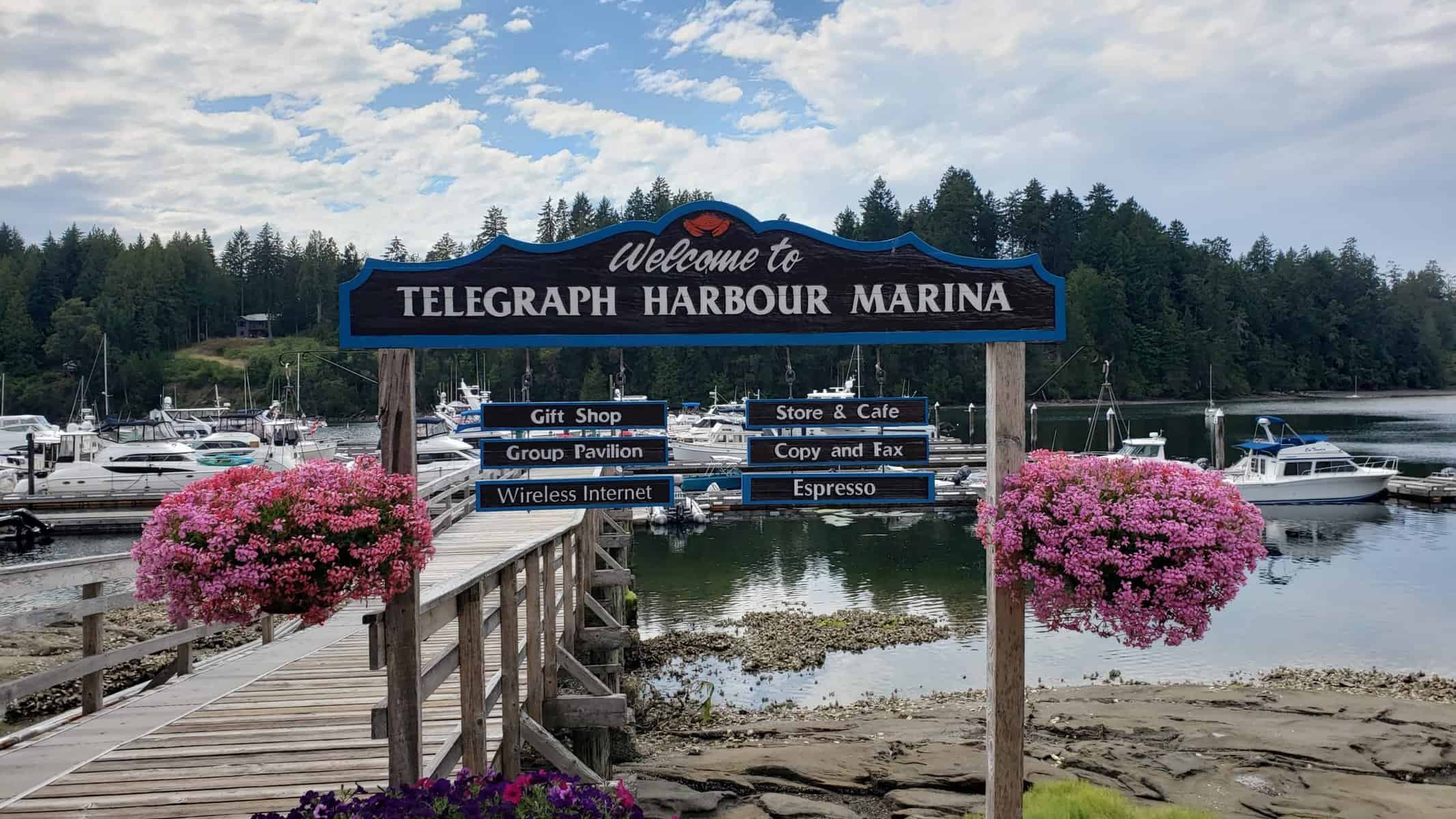
Telegraph Harbor Marina from the shore.
Gulf Islands
Coordinates Decimal: 48.982, -123.671
Coordinates Degrees Minutes Seconds(DMS): 48° 58′ 55.920″N, -124° 19′ 44.760″W
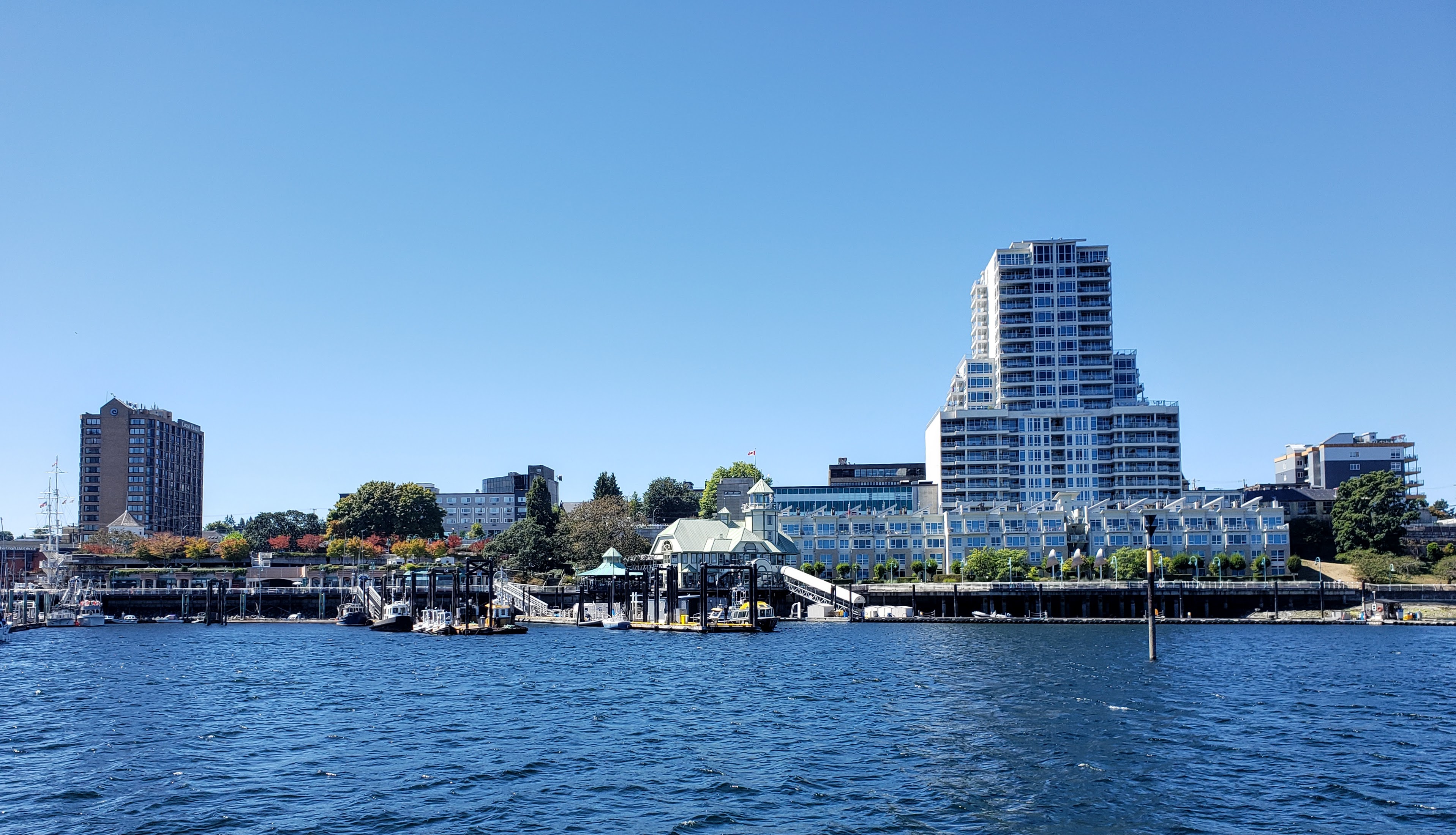
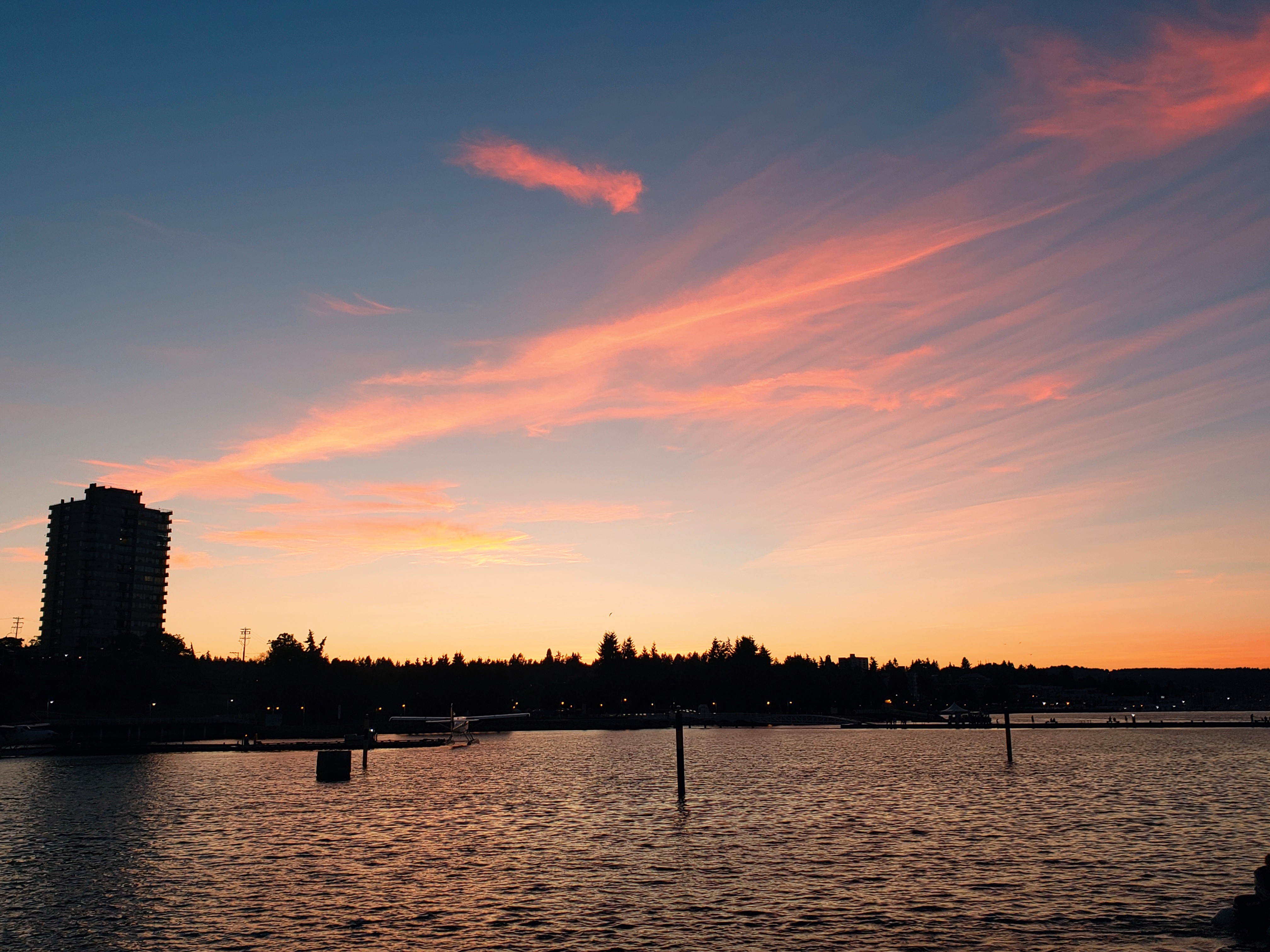
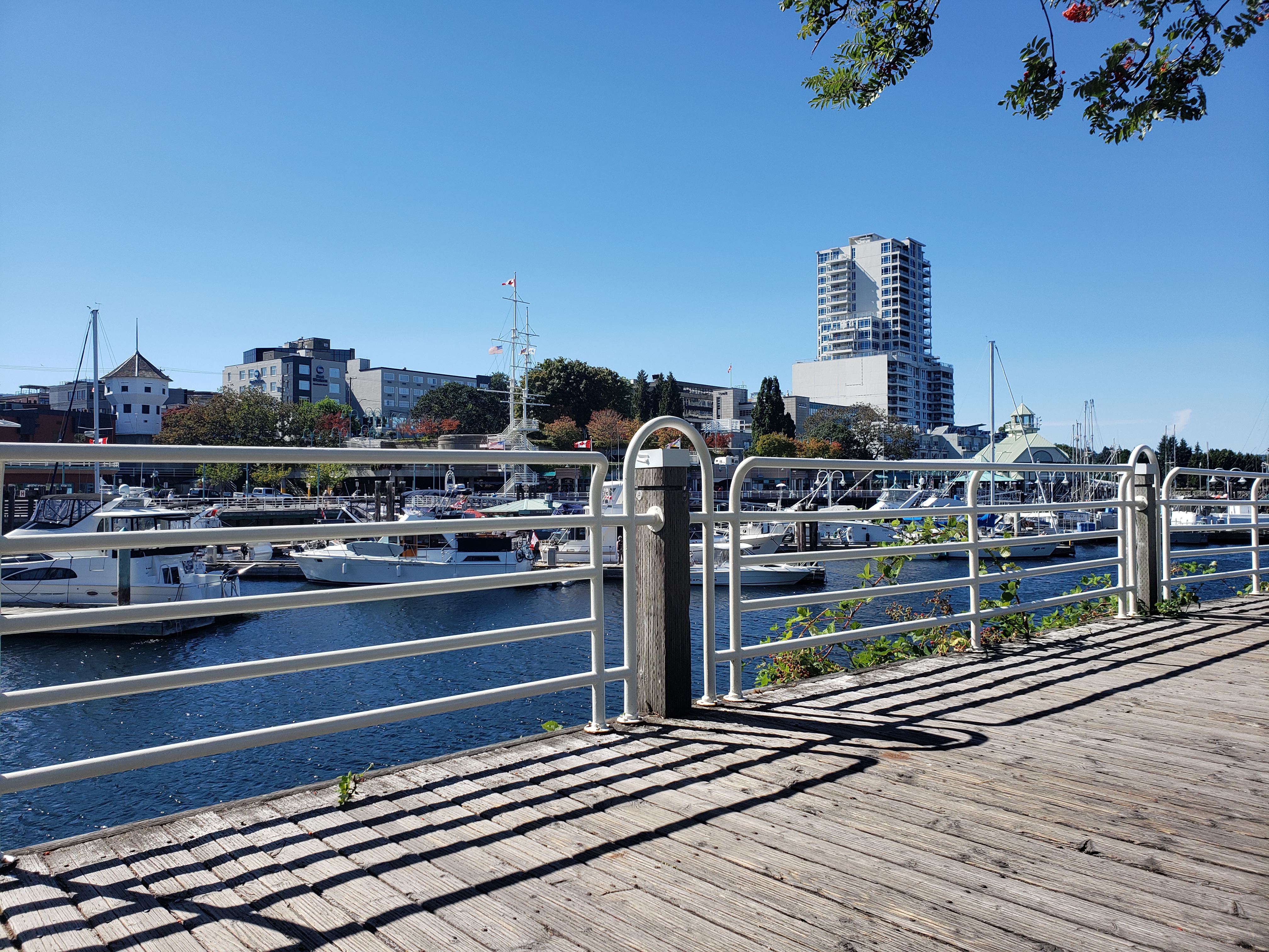
Day 3: Telegraph Harbour to Nanaimo
Travel distance: 21.8
Nights staying: 1
Your Destination Nanaimo
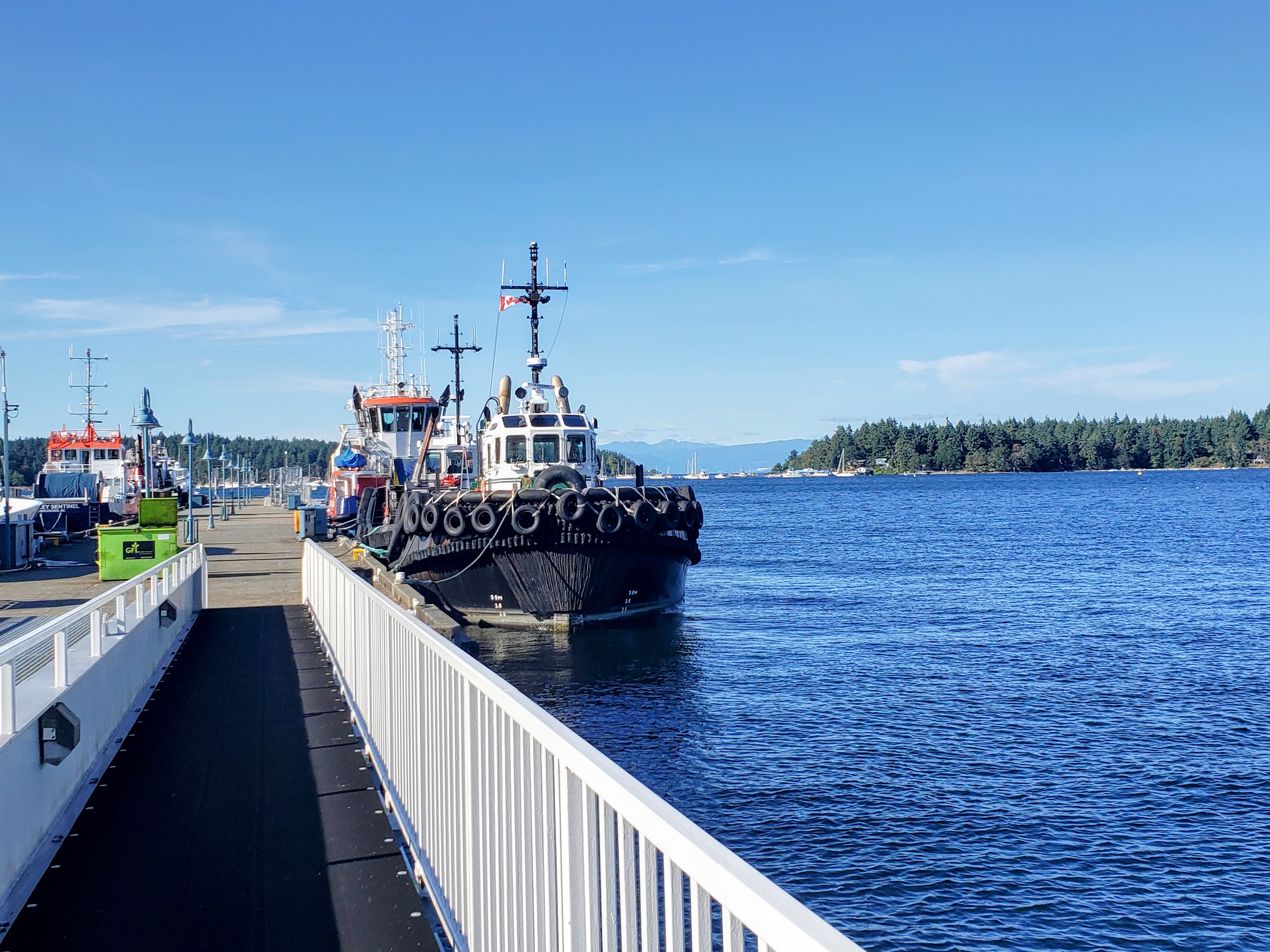
Nanaimo.
Bay
Naniamo
Coordinates Decimal: 49.176, -123.932
Coordinates Degrees Minutes Seconds(DMS): 49° 10′ 35.000″N, -124° 4′ 4.008″W
When visiting the area we saw more crack pipes, and heroin needles on the sidewalk than another other place we have travelled by boat.
 Nanaimo |
 Nanaimo |
 Nanaimo |
Day 4: Nanaimo to Silva Bay Resort
Travel distance: 15.9
Nights staying: 1
Your Destination Silva Bay Resort
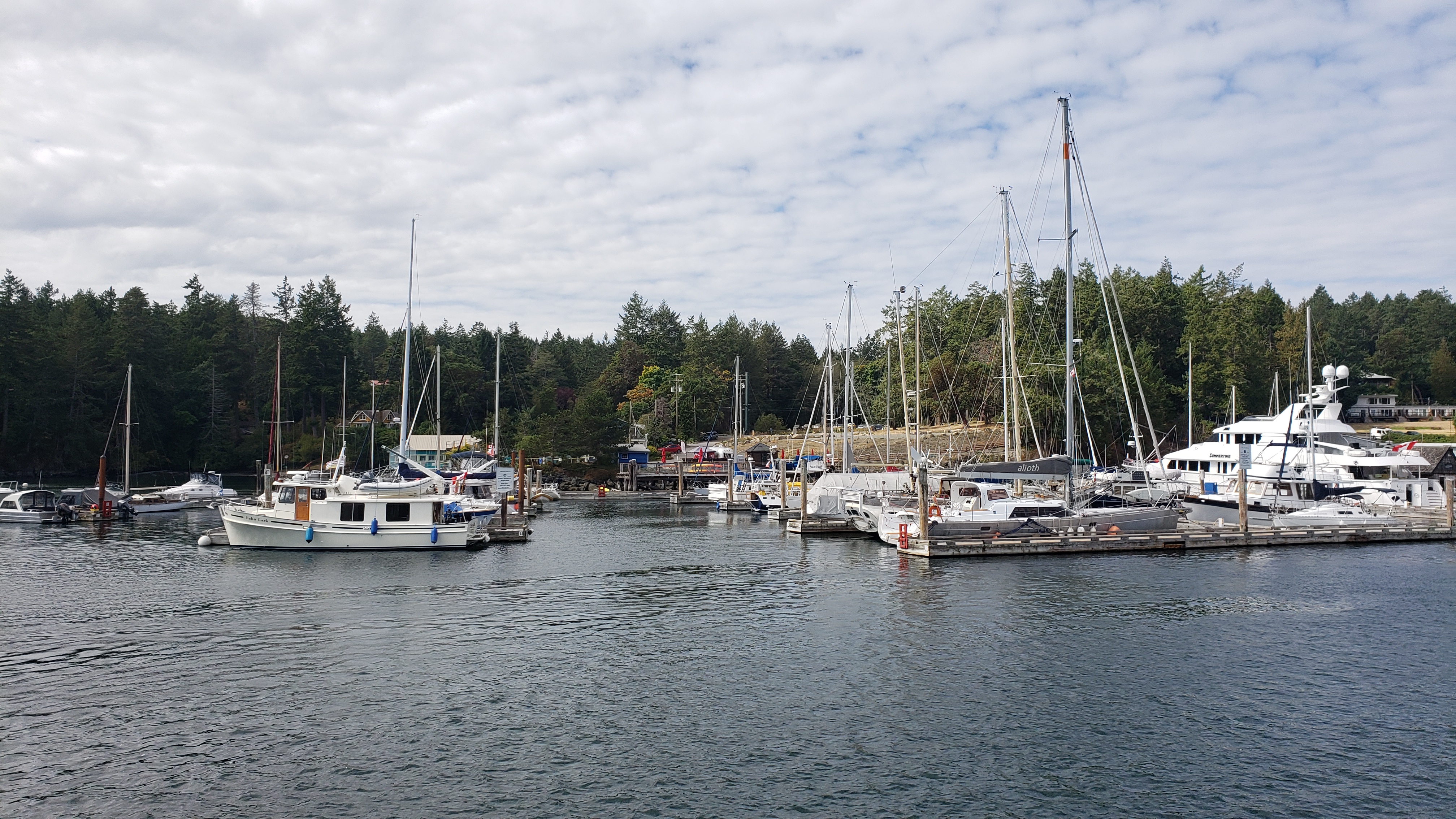
Silva Bay Resort
Gulf Islands
Coordinates Decimal: 49.150, -123.696
Coordinates Degrees Minutes Seconds(DMS): 49° 9′ 1.692″N, -124° 18′ 13.320″W
 Silva Bay Resort. |
Download this this route and other routes in the Gulf Island, Desolation Sound and The Broughtons. Download so you can use them offline on your phone, tablet, or laptop when you cruising.
https://bc.boatinglocations.com/route-downloads/
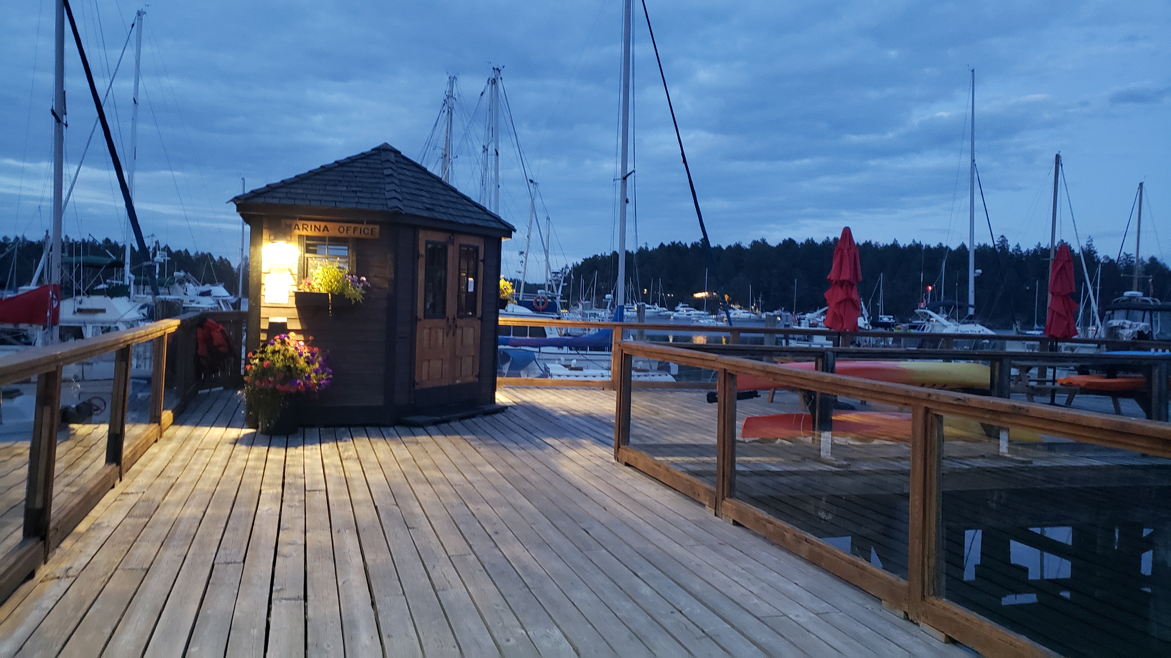
Day 5: Silva Bay Resort to Wallace Island
Travel distance: 19.0
Nights staying: 1
Your Destination Wallace Island
Gulf Islands
Coordinates Decimal: 48.943, -123.556
Coordinates Degrees Minutes Seconds(DMS): 48° 56′ 34.080″N, -124° 26′ 40.200″W
Day 6: Wallace Island to Montague Harbour
Travel distance: 9.3
Nights staying: 1
Your Destination Montague Harbour
Beach to the north of Montague Harbour.
Gulf Islands
Coordinates Decimal: 48.891, -123.395
Coordinates Degrees Minutes Seconds(DMS): 48° 53′ 27.240″N, -124° 36′ 16.920″W
Amazing sunsets. Don’t miss out on the bus that you can take to the local pub, it is quite an experience.
Montague Harbour offers sheltered moorage with good anchoring, at depths from 20 to 50 feet.
Even though there can be many boats in this harbour, it is a great place to visit and you can usually find a place to drop anchor or to tie to a mooring buoy.
 Sunset at Montague Harbour. |
 Montague Harbour. |
 Sunset at Montague Harbour. |
Day 7: Montague Harbour to Ganges
Travel distance: 7.9
Nights staying: 1
Your Destination Ganges
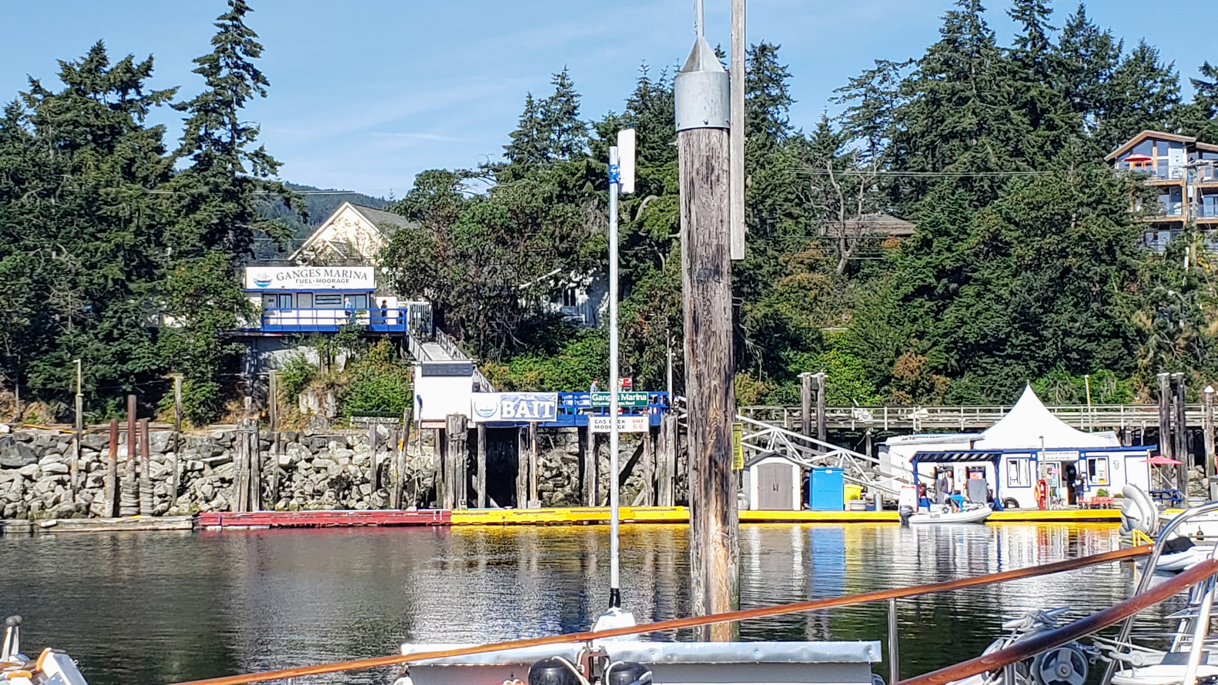
Ganges.
Bay
Gulf Islands
Coordinates Decimal: 48.855, -123.499
Coordinates Degrees Minutes Seconds(DMS): 48° 51′ 18.000″N, -124° 30′ 3.600″W
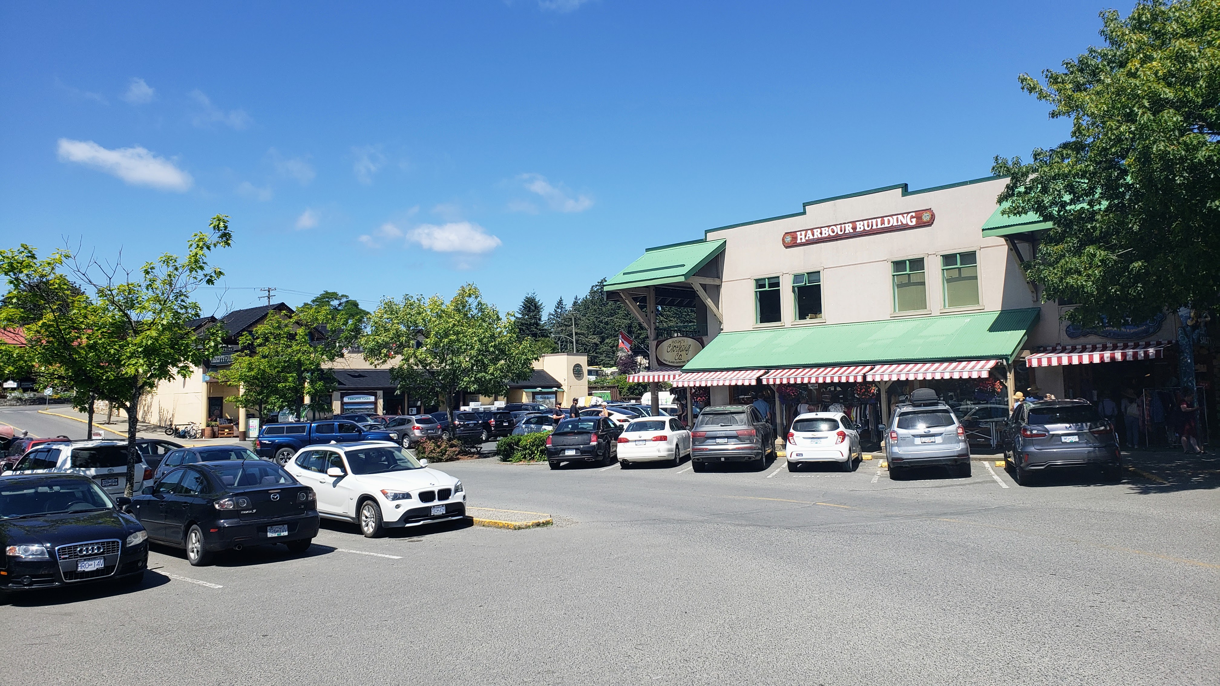 Ganges |
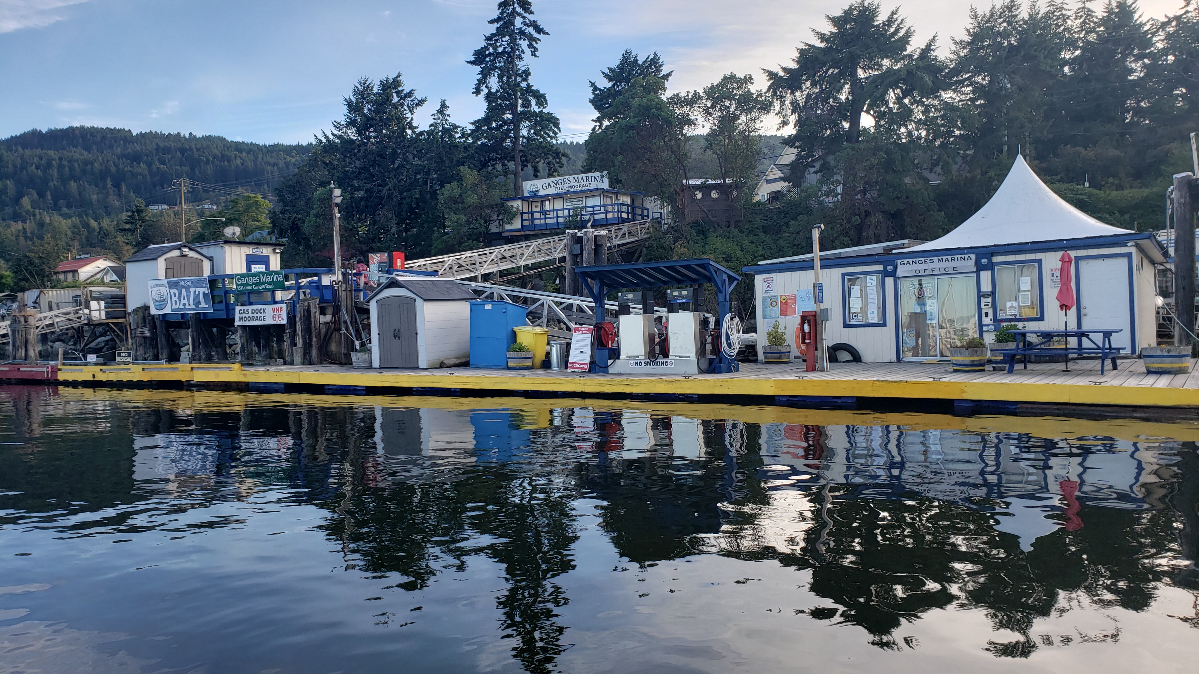 Ganges |
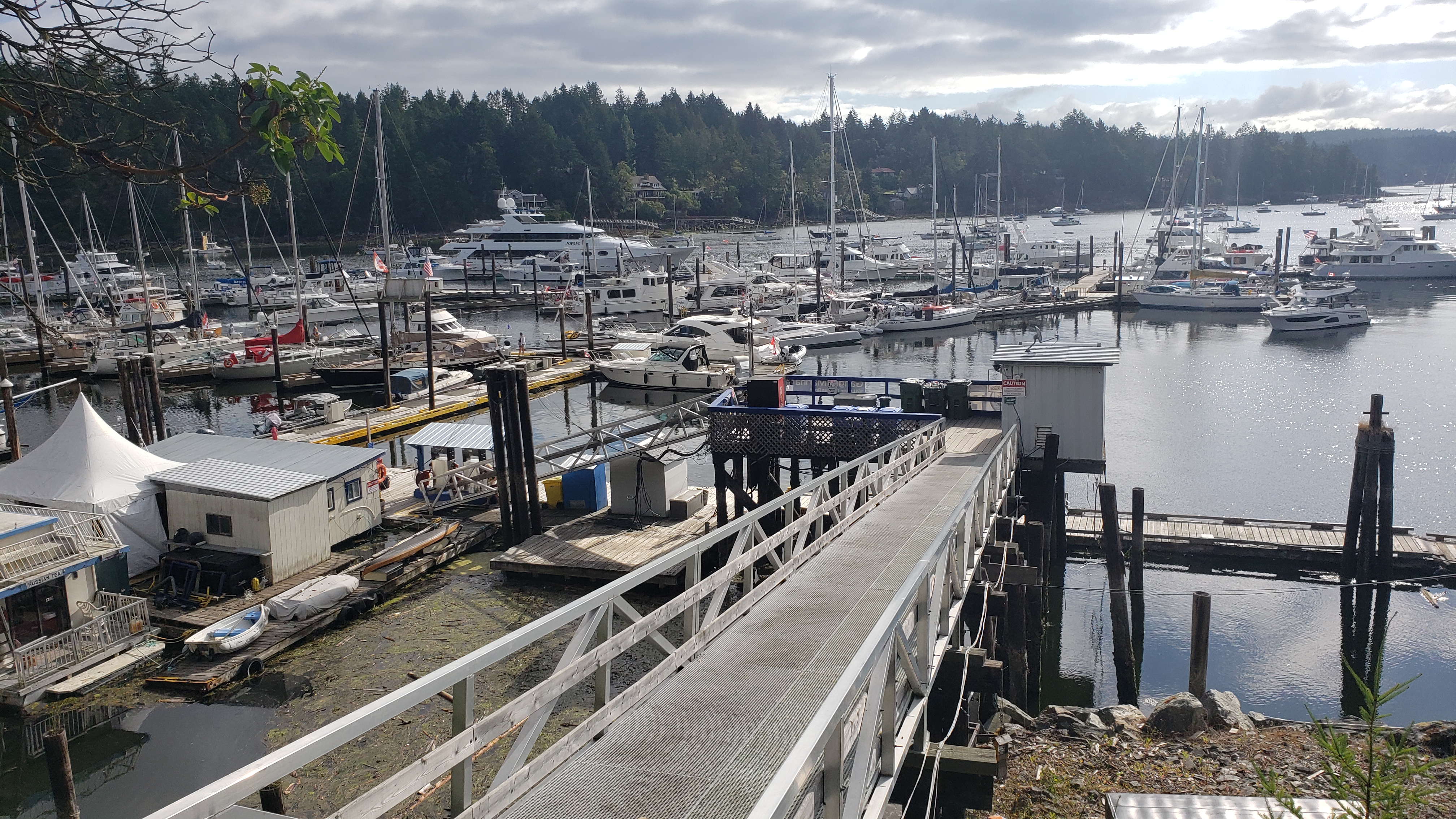 Ganges |
Day 8: Ganges to Bedwell Harbour
Travel distance: 18.1
Nights staying: 0
Your Destination Bedwell Harbour
Bedwell Harbour.
Gulf Islands
Coordinates Decimal: 48.752, -123.243
Coordinates Degrees Minutes Seconds(DMS): 48° 45′ 7.560″N, -124° 45′ 25.920″W
 Bedwell Harbour. |
Download this this route and other routes in the Gulf Island, Desolation Sound and The Broughtons. Download so you can use them offline on your phone, tablet, or laptop when you cruising.
https://bc.boatinglocations.com/route-downloads/
Related Posts
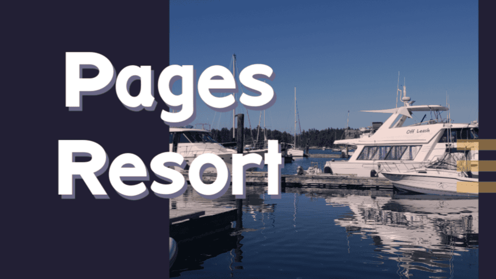
Pages Resort at Silva Bay BC
Nestled amid the captivating Gulf Islands, Pages Resort at Silva…

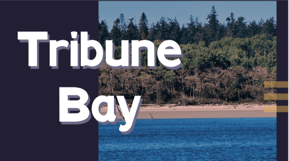
Tribune Bay, Hornby Island BC
Nestled on the eastern shore of Hornby Island, Tribune Bay,…