Setting out from the bustling harbor city of Nanaimo, the journey to Desolation Sound offers an enchanting blend of adventure and relaxation tailored for a seven-day escapade. With its stunning coastal vistas, diverse marine wildlife, and serene anchorages, this route promises a captivating experience for boating enthusiasts and nature lovers alike. As you navigate the sun-dappled waters, each day presents a new opportunity to explore secluded beaches, charming coastal towns, and hidden coves, forging memories against the backdrop of British Columbia’s rugged beauty.
The voyage is a tapestry of contrasting landscapes and ever-changing sceneries, unfolding from the urban charm of Nanaimo into the tranquil expanse of Desolation Sound. Along the way, you’ll encounter the picturesque Gulf Islands, navigate through serene channels, and be greeted by the sight of majestic mountains rising from the sea. Whether you’re a seasoned sailor or embarking on your first nautical adventure, this trip route caters to all levels of expertise, providing a perfect balance between leisurely exploration and spirited maritime adventure. Prepare to dive into a world where time slows down, the air freshens, and the rhythm of the waves guides your journey.
Download this this route and other routes in the Gulf Island, Desolation Sound and The Broughtons. Download so you can use them offline on your phone, tablet, or laptop when you cruising.
https://bc.boatinglocations.com/route-downloads/
Desolation Sound Trip Route for 7 days
Starting at Nanaimo and ending at Nanaimo
Total Trip Distance: 212.2 miles / 341.5 km / 244.2 NM
| Day | Route | Nights Staying Here | Distance |
| 1 | Nanaimo to Powell River | 1 | 59.8 miles / 96.2 km / 68.8 NM |
| 2 | Powell River to Roscoe Bay Provincial Park | 1 | 30.4 miles / 48.9 km / 35.0 NM |
| 3 | Roscoe Bay Provincial Park to Squirrel Cove | 1 | 11.1 miles / 17.9 km / 12.8 NM |
| 4 | Squirrel Cove to Laura Cove | 1 | 12.8 miles / 20.6 km / 14.7 NM |
| 5 | Laura Cove to John Henry | 1 | 59.8 miles / 96.2 km / 68.8 NM |
| 6 | John Henry to Secret Cove | 1 | 11.4 miles / 18.3 km / 13.1 NM |
| 7 | Secret Cove to Nanaimo | 0 | 26.9 miles / 43.3 km / 31.0 NM |
Day 1: Nanaimo to Powell River
Travel distance: 59.8
Nights staying: 1
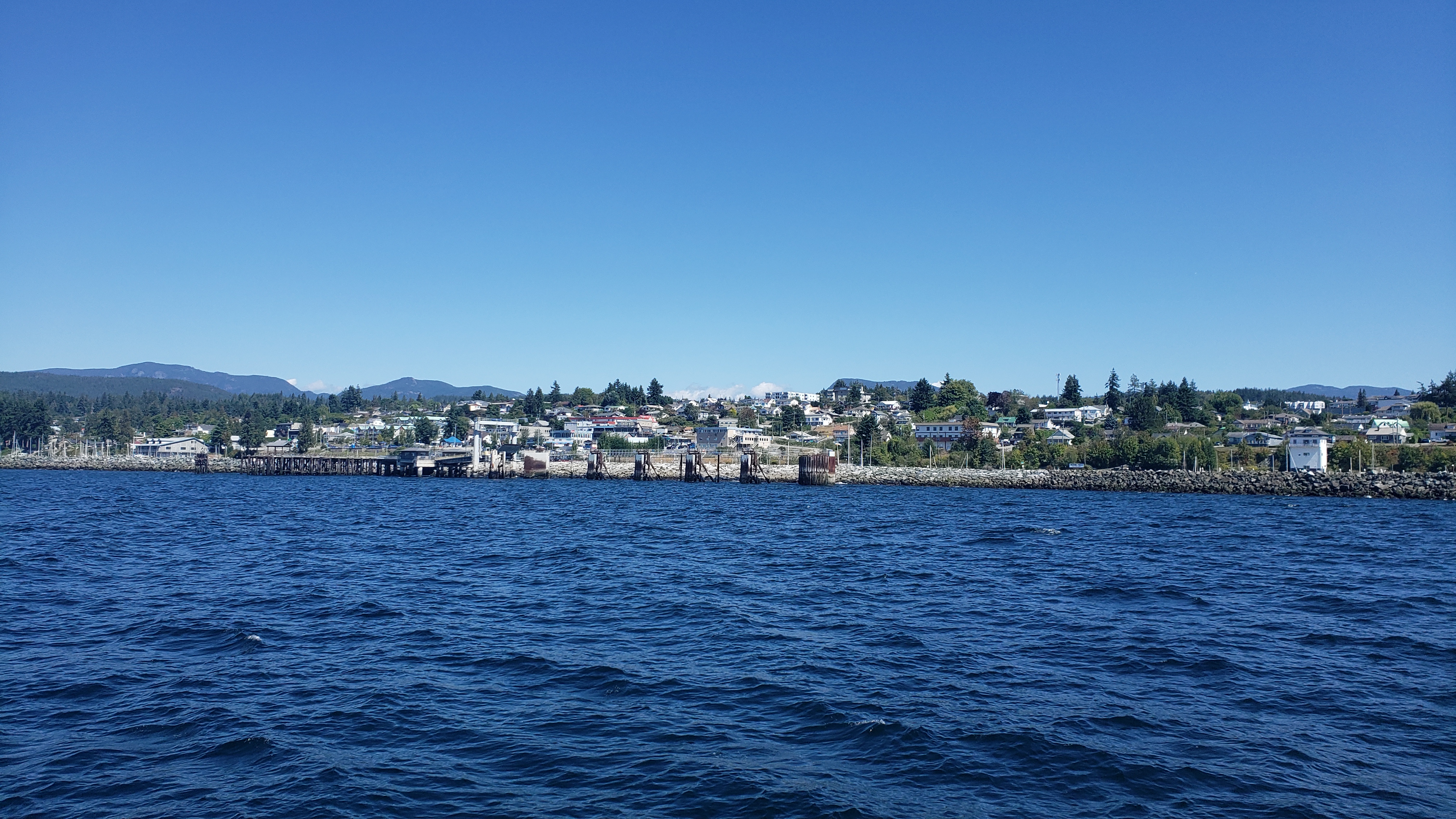
Your Destination Powell River
Powell River.
Westview
Straight of Georgia
Coordinates Decimal: 49.834, -124.531
Coordinates Degrees Minutes Seconds(DMS): 49° 50′ 3.120″N, -125° 28′ 9.984″W
 Powell River |
 Powell River |
 Powell River |
Day 2: Powell River to Roscoe Bay Provincial Park
Travel distance: 30.4
Nights staying: 1
Your Destination Roscoe Bay Provincial Park
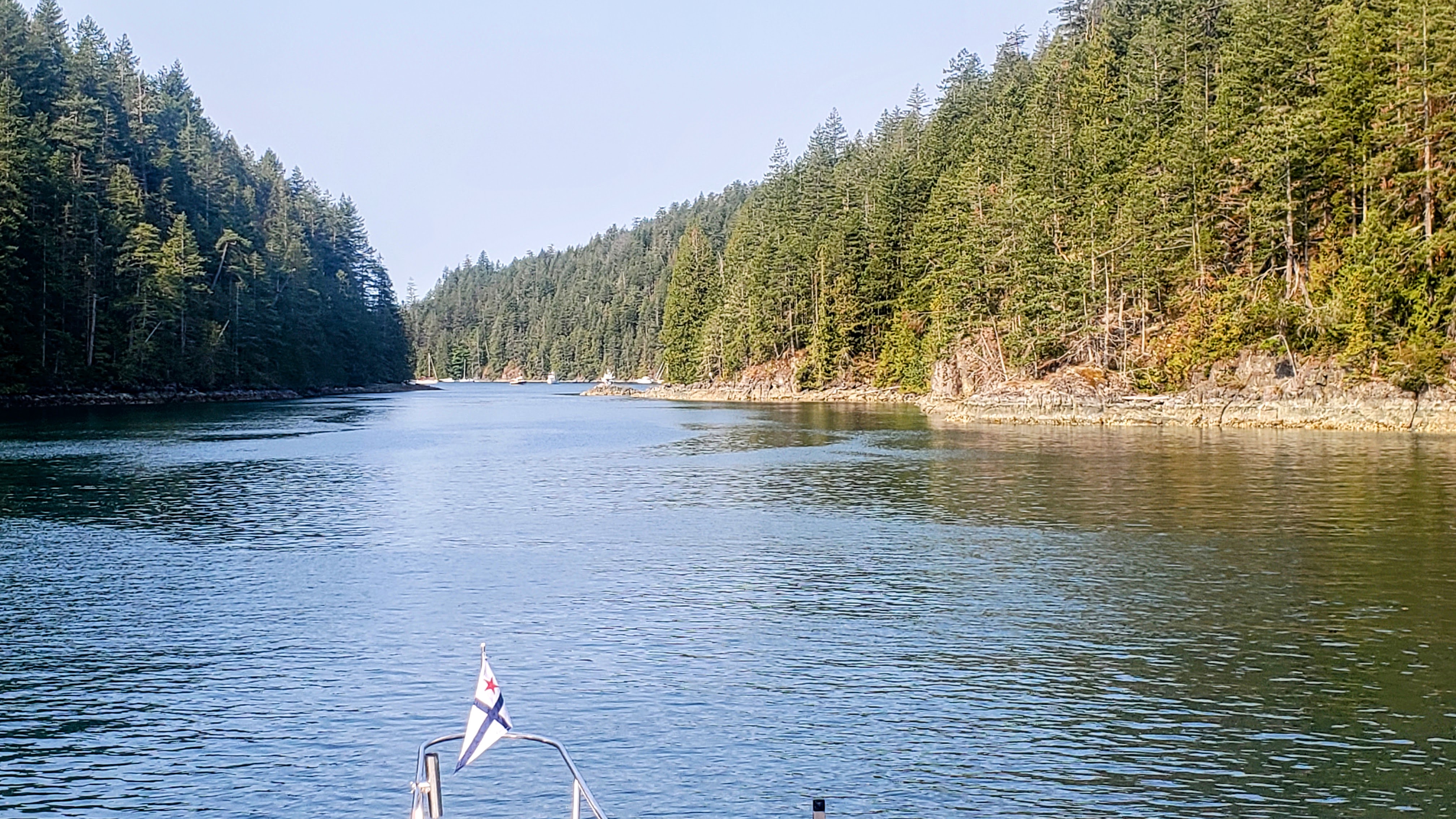
Rosco Bay Entrance
Desolation Sound
Coordinates Decimal: 50.160, -124.764
Coordinates Degrees Minutes Seconds(DMS): 50° 9′ 35.640″N, -125° 14′ 8.520″W
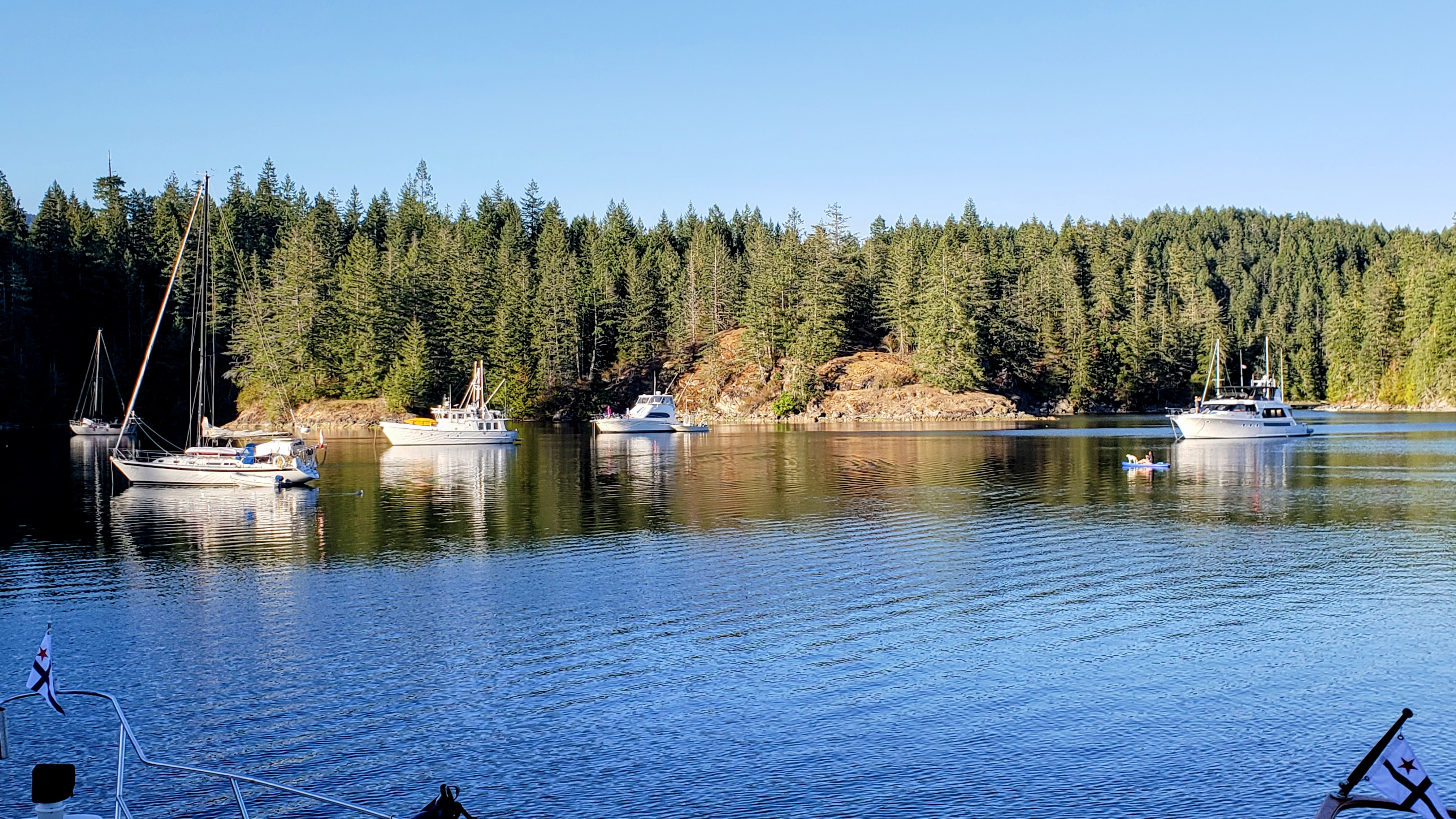
Roscoe Bay Provincial Park is one of my favorite locations in Desolation Sound. A short walk from the landing to a fresh water lake.
 Rosco Bay |
 Rosco Bay |
Day 3: Roscoe Bay Provincial Park to Squirrel Cove
Travel distance: 11.1
Nights staying: 1
Your Destination Squirrel Cove
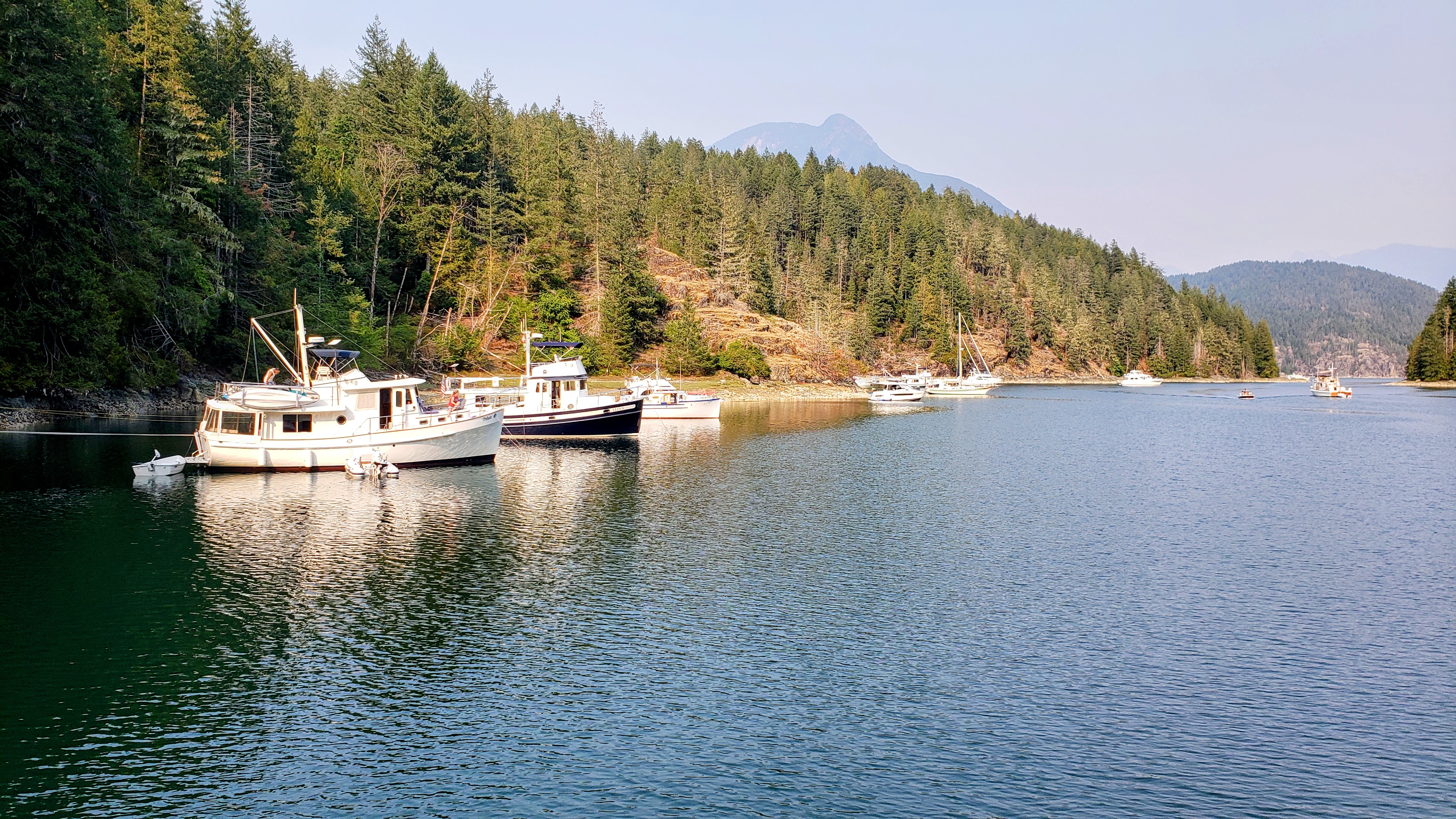
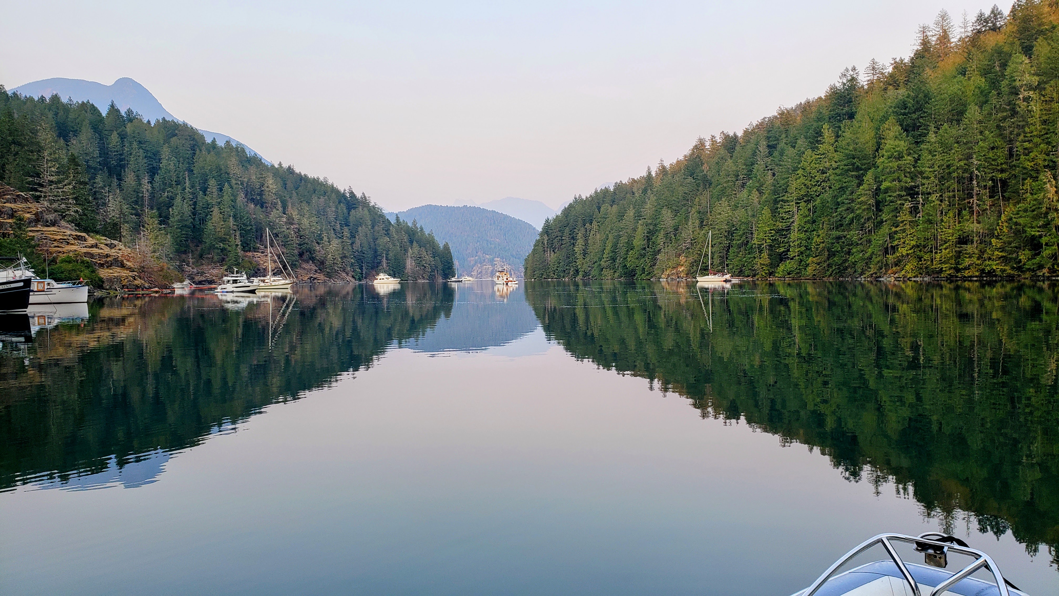
Squirrel Cove – dog walking island
Cortes Island
Desolation Sound
Coordinates Decimal: 50.128, -124.918
Coordinates Degrees Minutes Seconds(DMS): 50° 7′ 41.999″N, -125° 4′ 54.001″W
 Squirrel Cove |
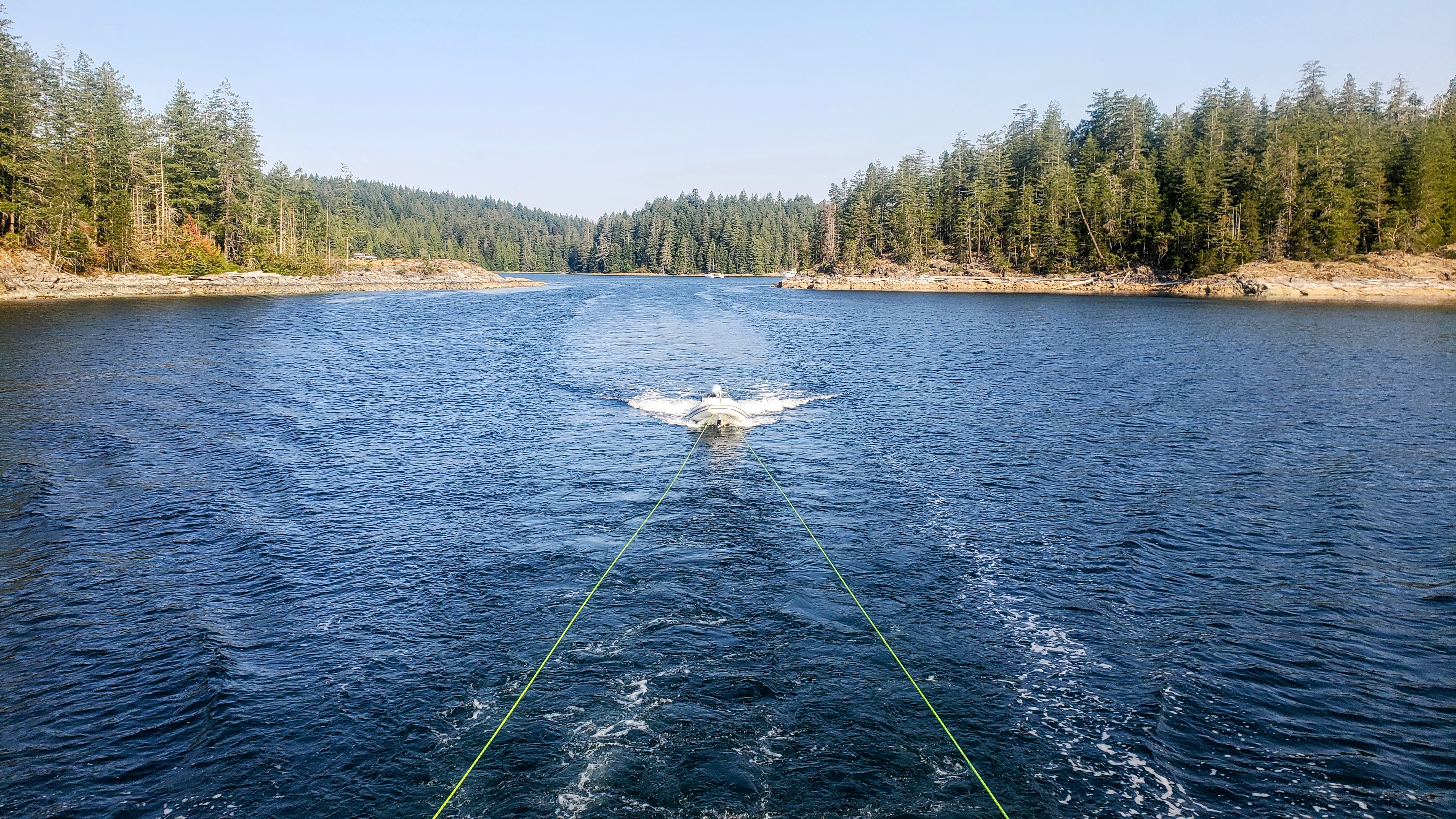 On our way out of Squirrel Cove |
Day 4: Squirrel Cove to Laura Cove
Travel distance: 12.8
Nights staying: 1
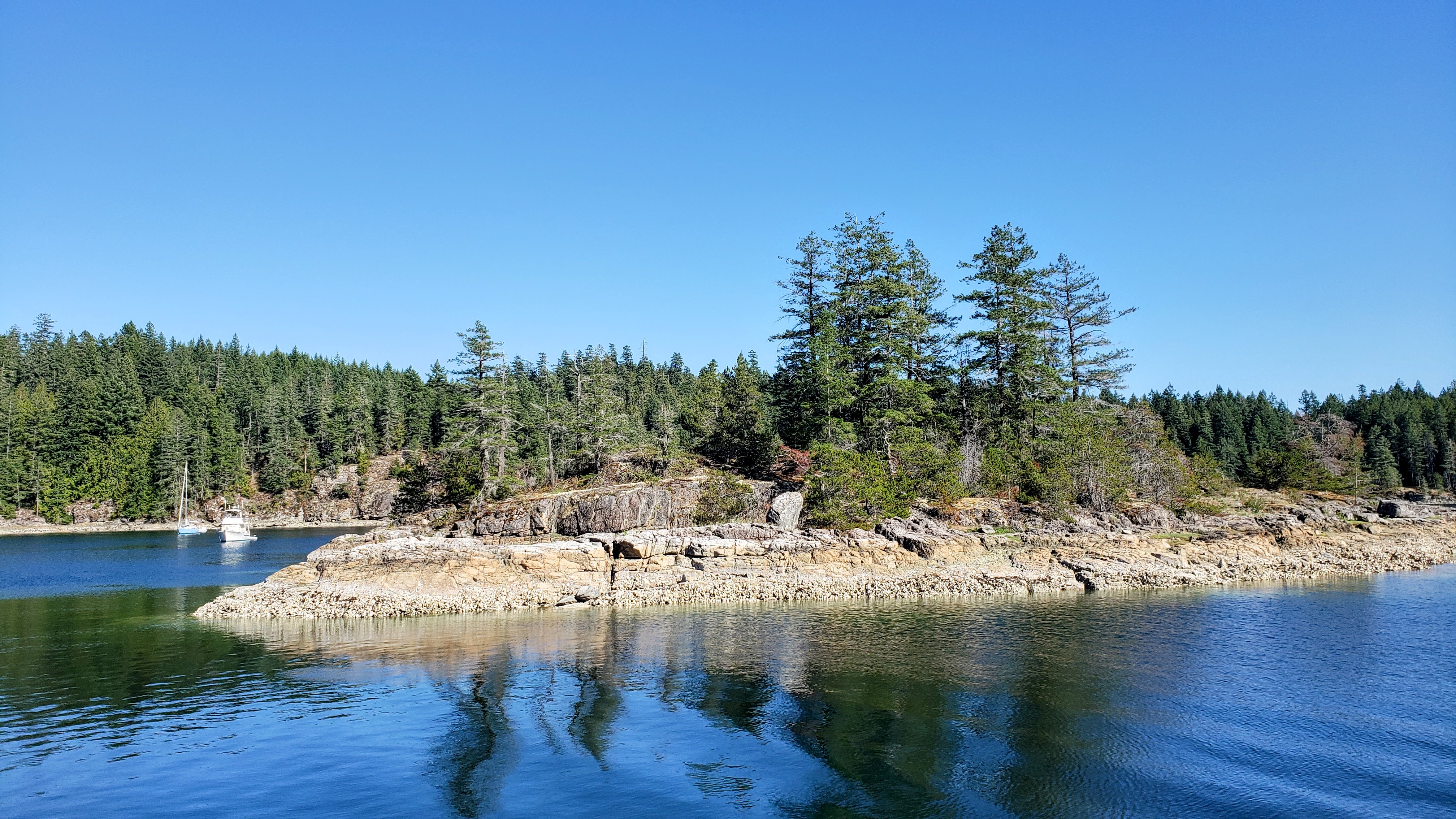
Your Destination Laura Cove
Laura Cove
Desolation Sound
Coordinates Decimal: 50.146, -124.668
Coordinates Degrees Minutes Seconds(DMS): 50° 8′ 45.600″N, -125° 19′ 55.200″W
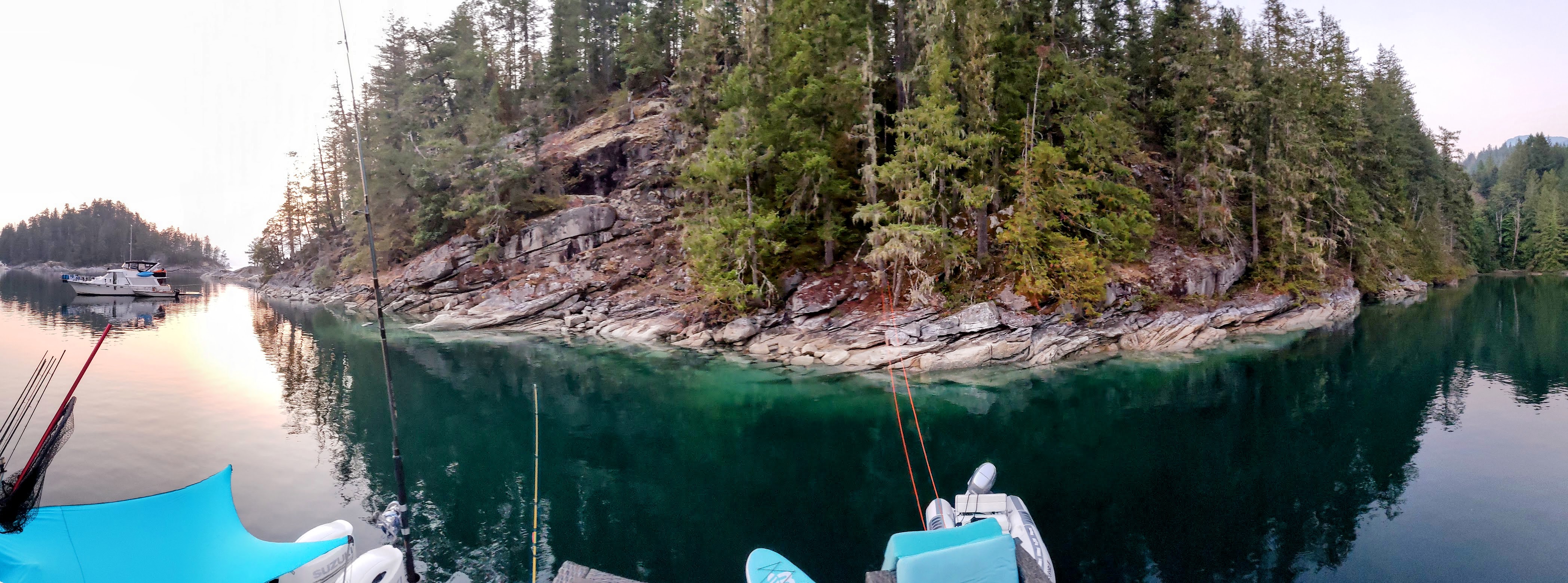
 Laura Cove |
Day 5: Laura Cove to John Henry
Travel distance: 59.8
Nights staying: 1
Your Destination John Henry
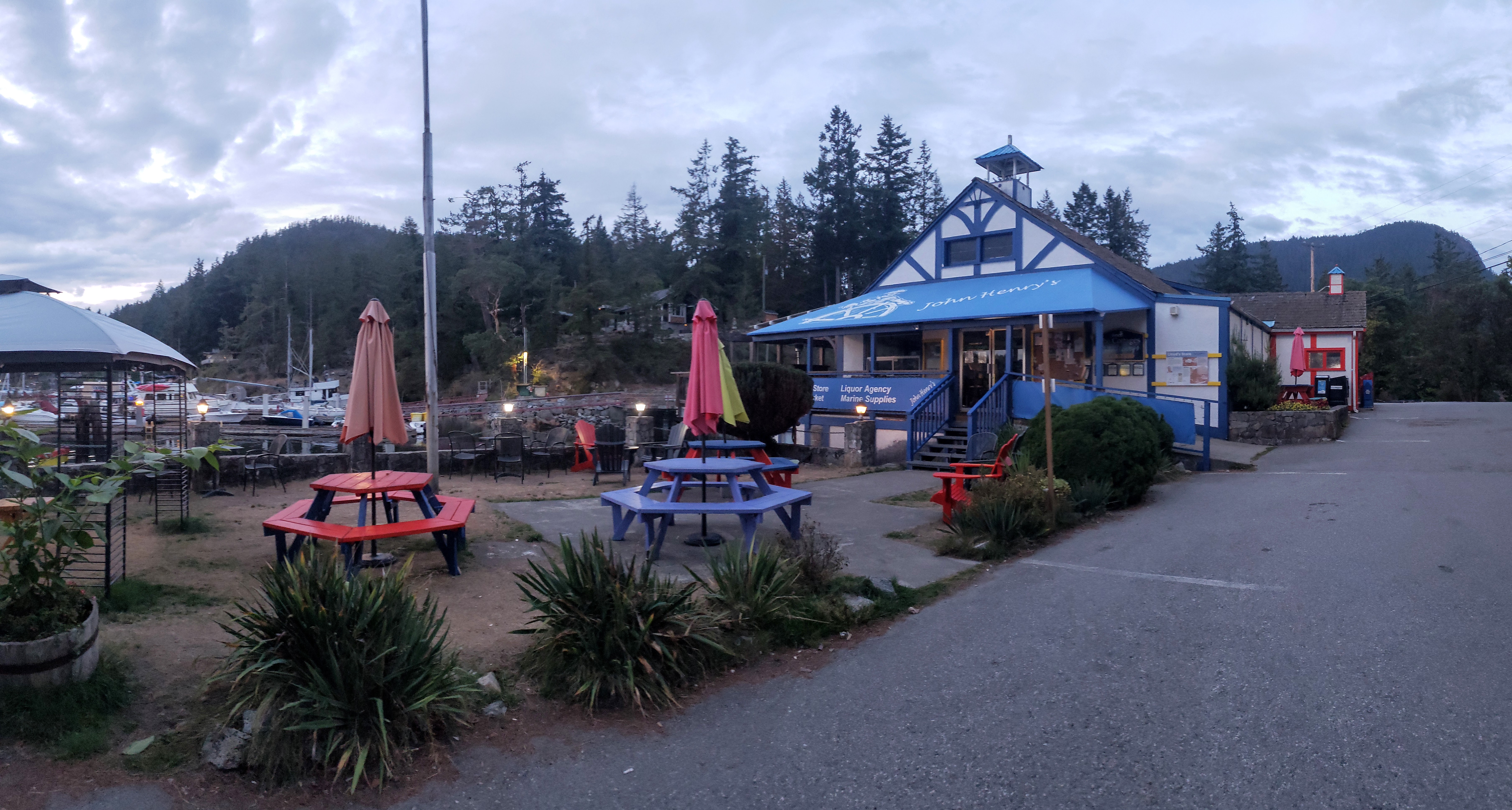
John Henry Resort
Sunshine Coast
Coordinates Decimal: 49.632, -124.032
Coordinates Degrees Minutes Seconds(DMS): 49° 37′ 53.400″N, -125° 58′ 6.600″W
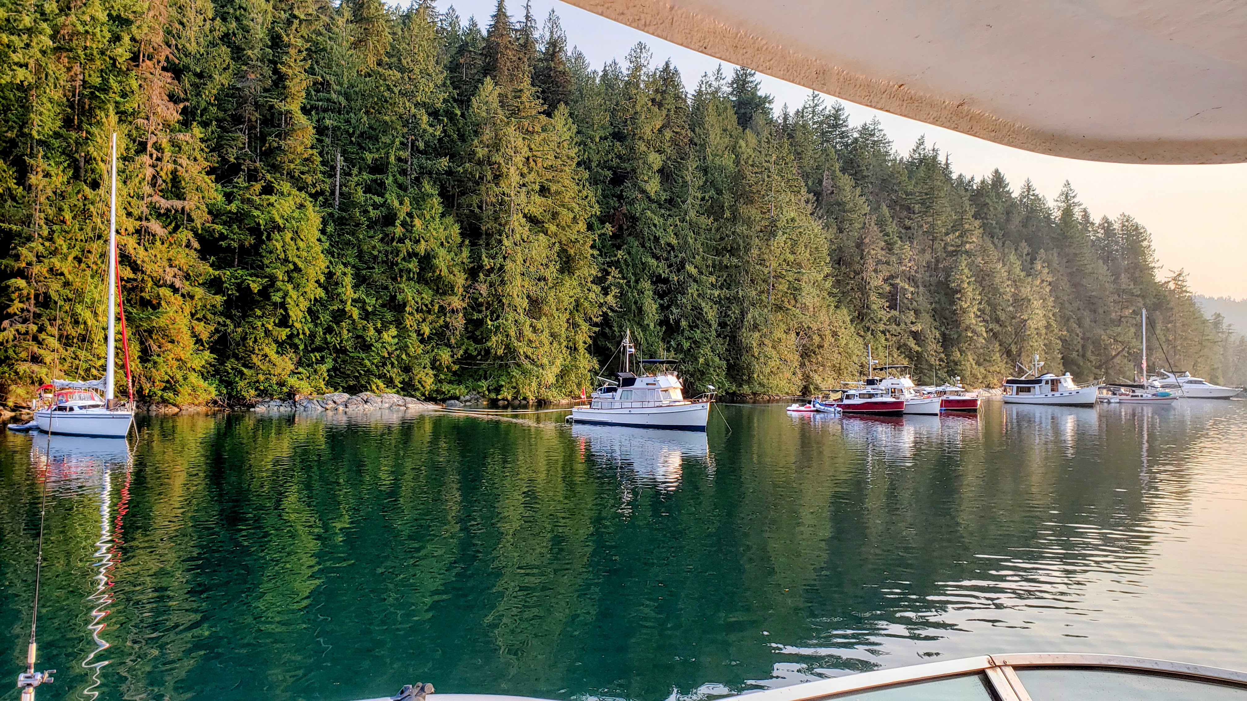
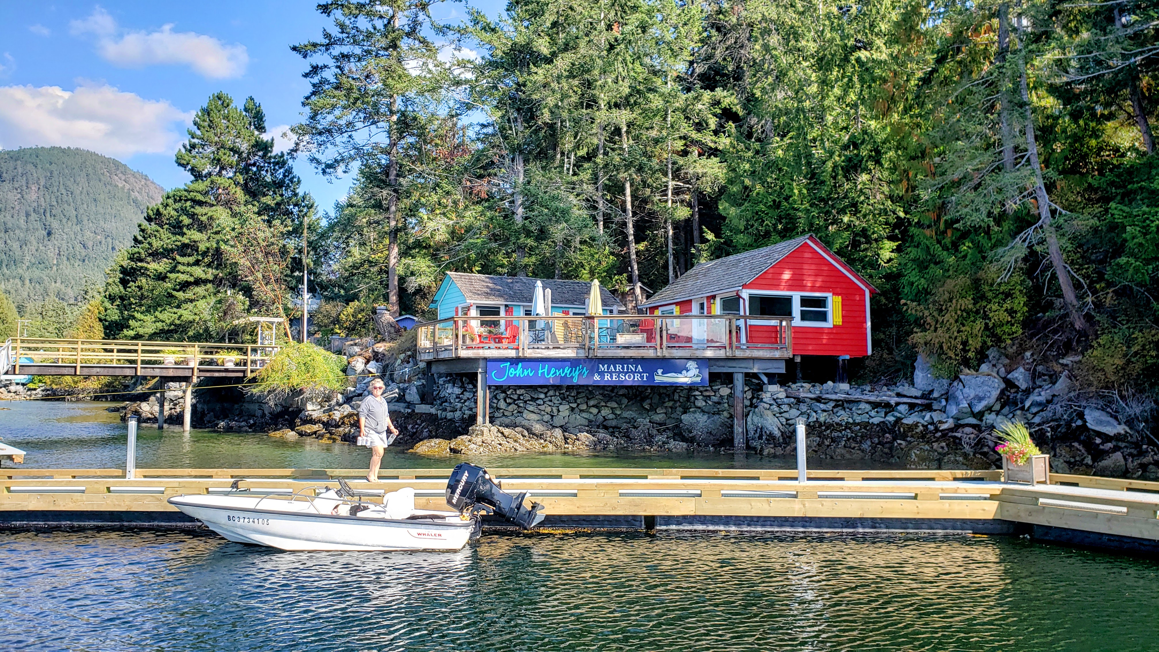 John Henry Resort |
Day 6: John Henry to Secret Cove
Travel distance: 11.4
Nights staying: 1
Your Destination Secret Cove
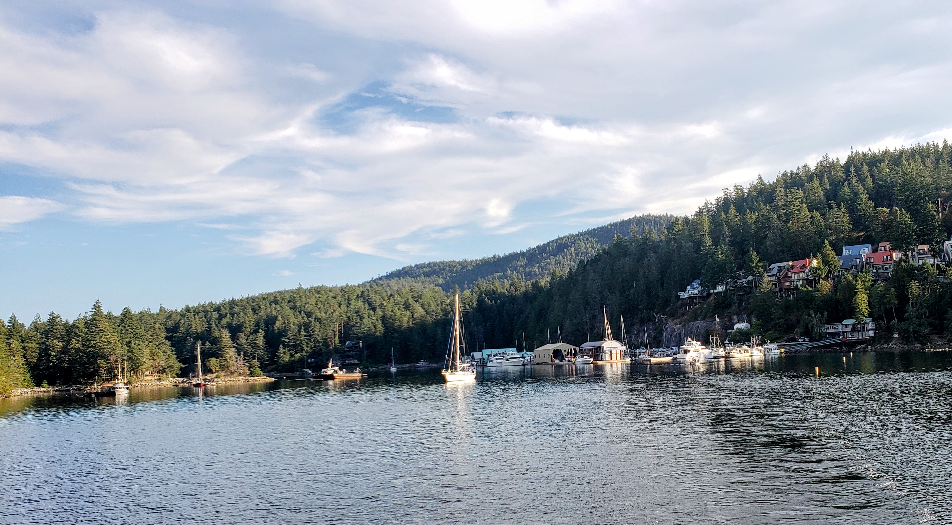
Secret Cove.
Bay
Sunshine Coast
Coordinates Decimal: 49.533, -123.965
Coordinates Degrees Minutes Seconds(DMS): 49° 31′ 58.800″N, -124° 2′ 6.000″W
A small marina nestled in a cove on the Sunshine Coast.
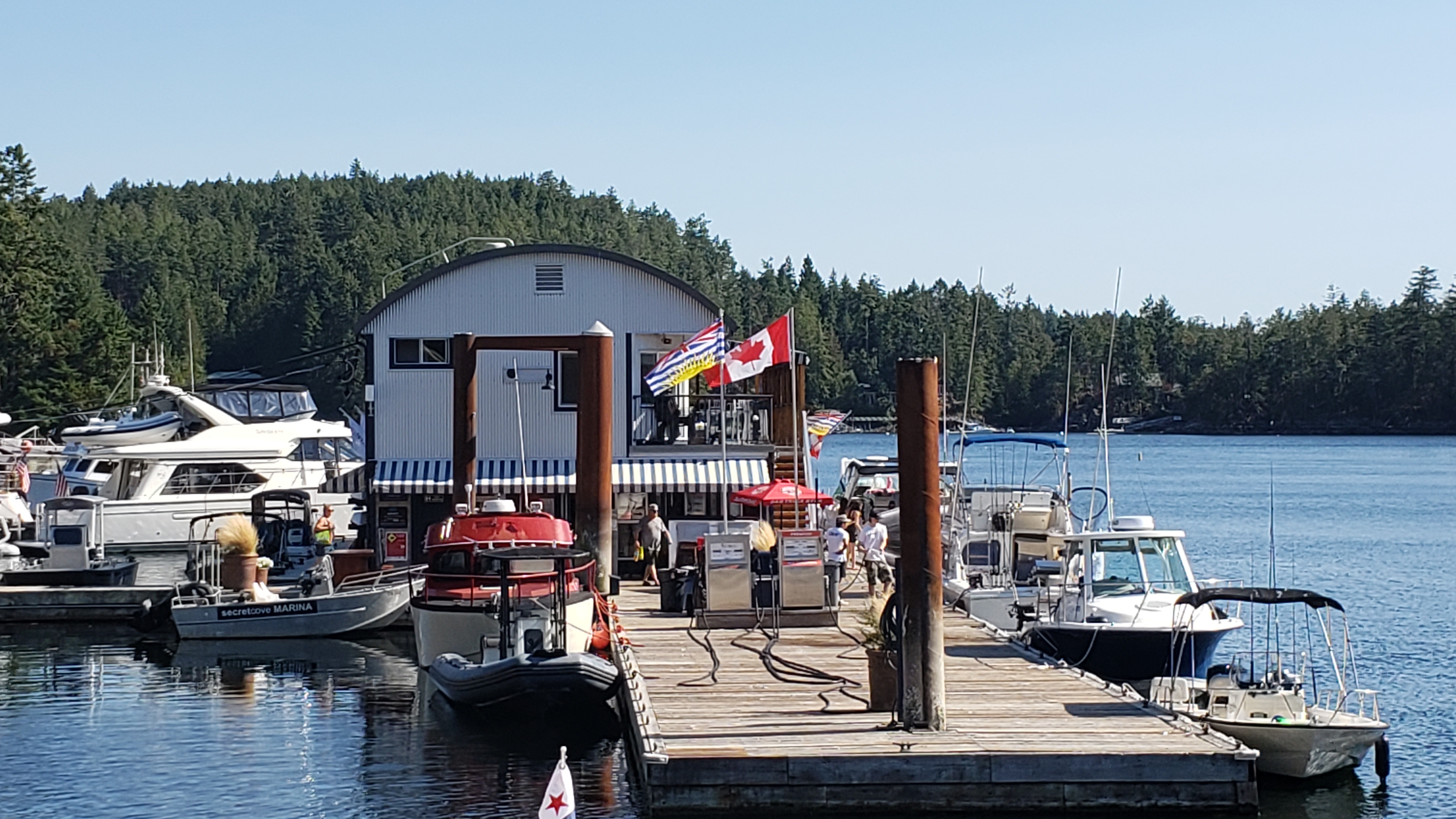 Secret Cove |
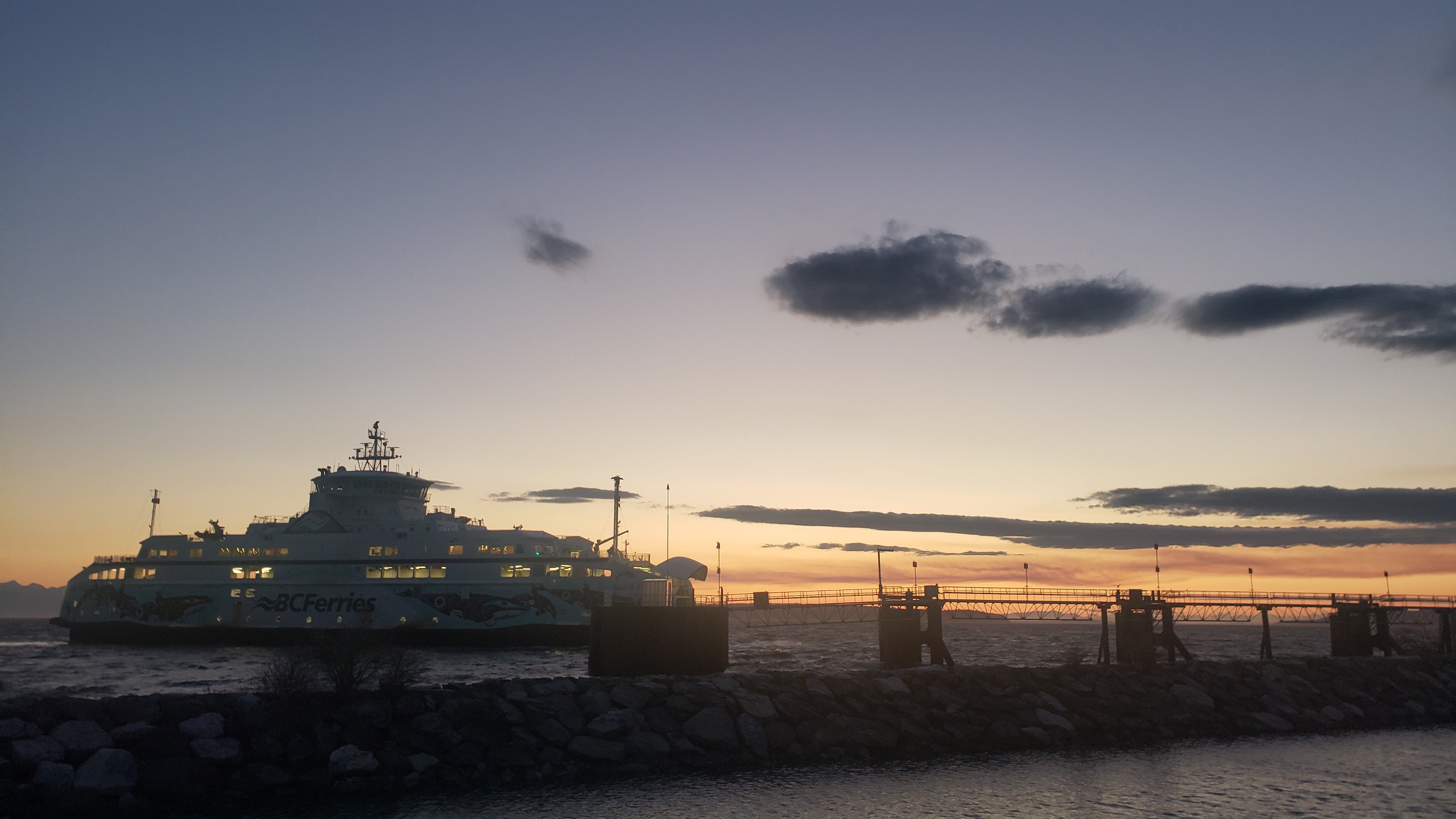
Day 7: Secret Cove to Nanaimo
Travel distance: 26.9
Nights staying: 0
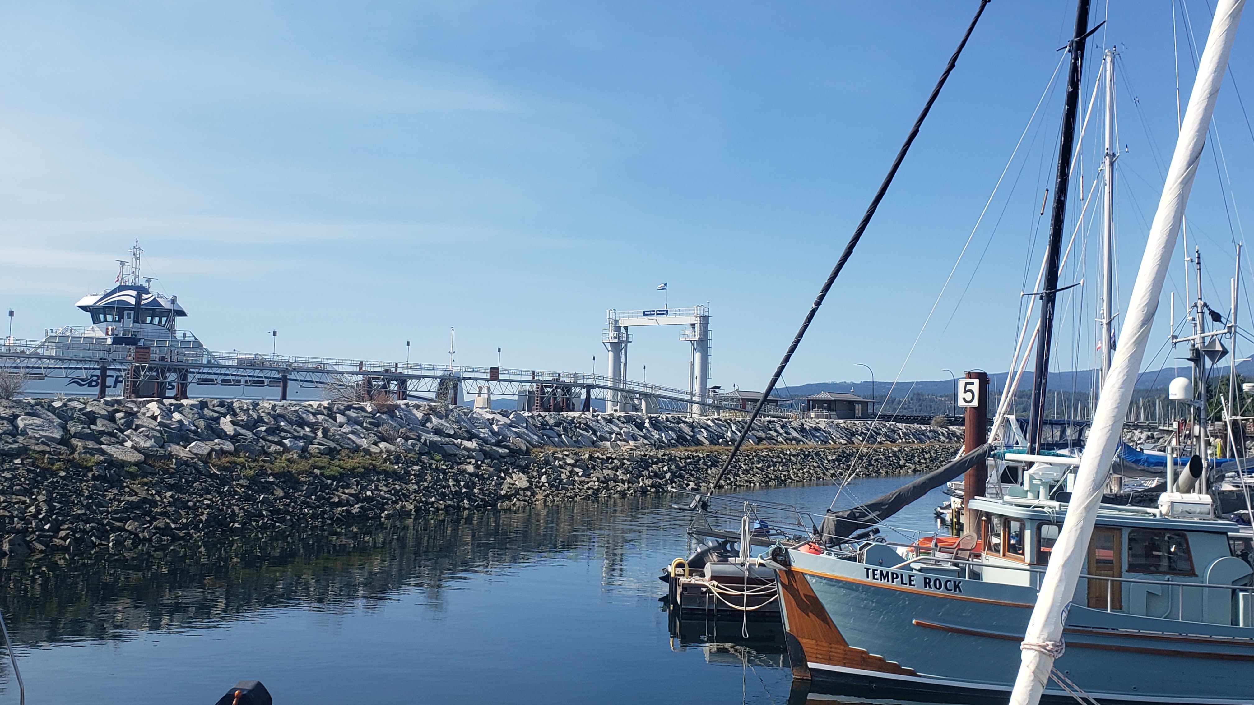
Your Destination Nanaimo
Nanaimo.
Bay
Naniamo
Coordinates Decimal: 49.176, -123.932
Coordinates Degrees Minutes Seconds(DMS): 49° 10′ 35.000″N, -124° 4′ 4.008″W
When visiting the area we saw more crack pipes, and heroin needles on the sidewalk than another other place we have travelled by boat.
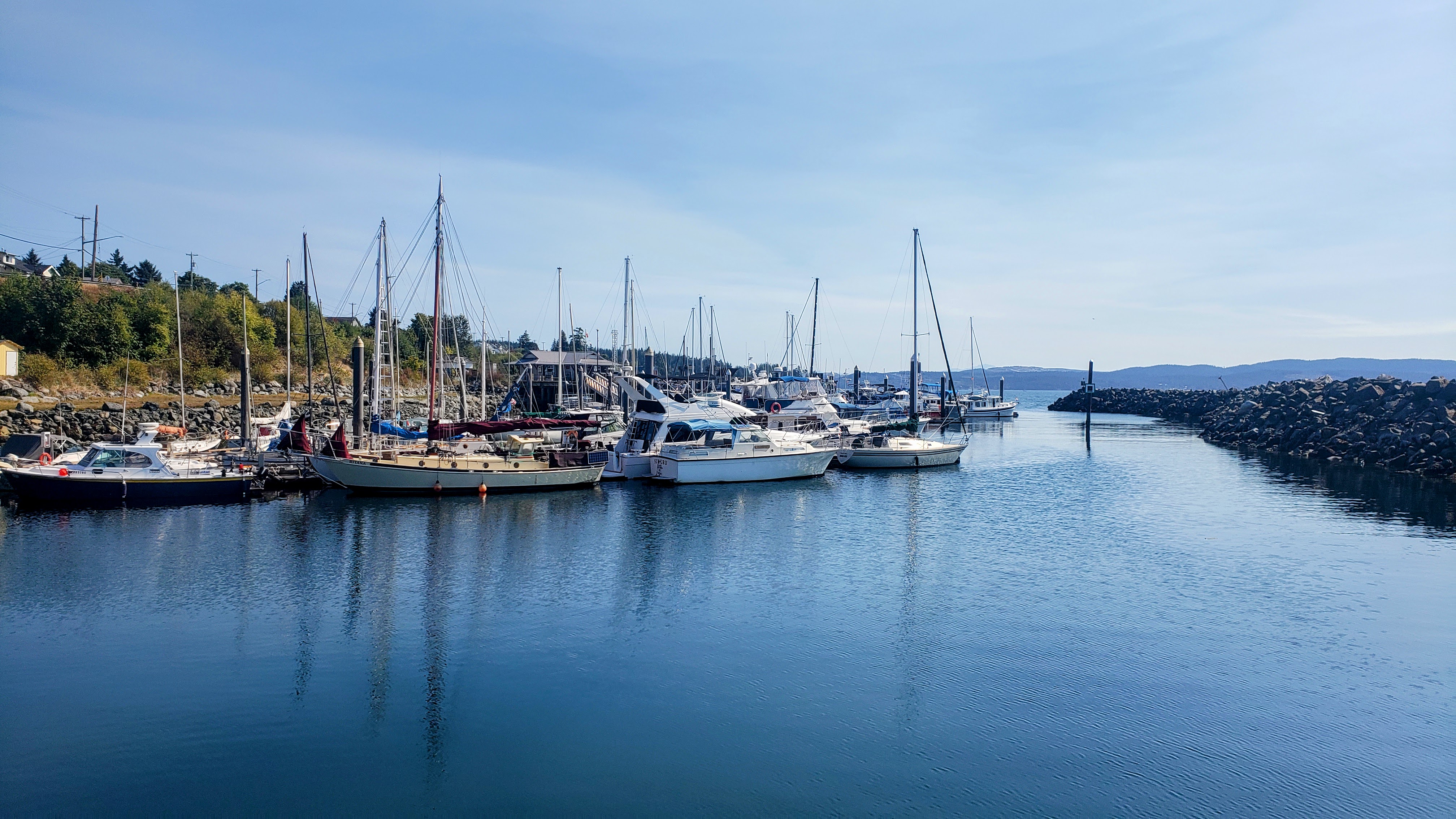
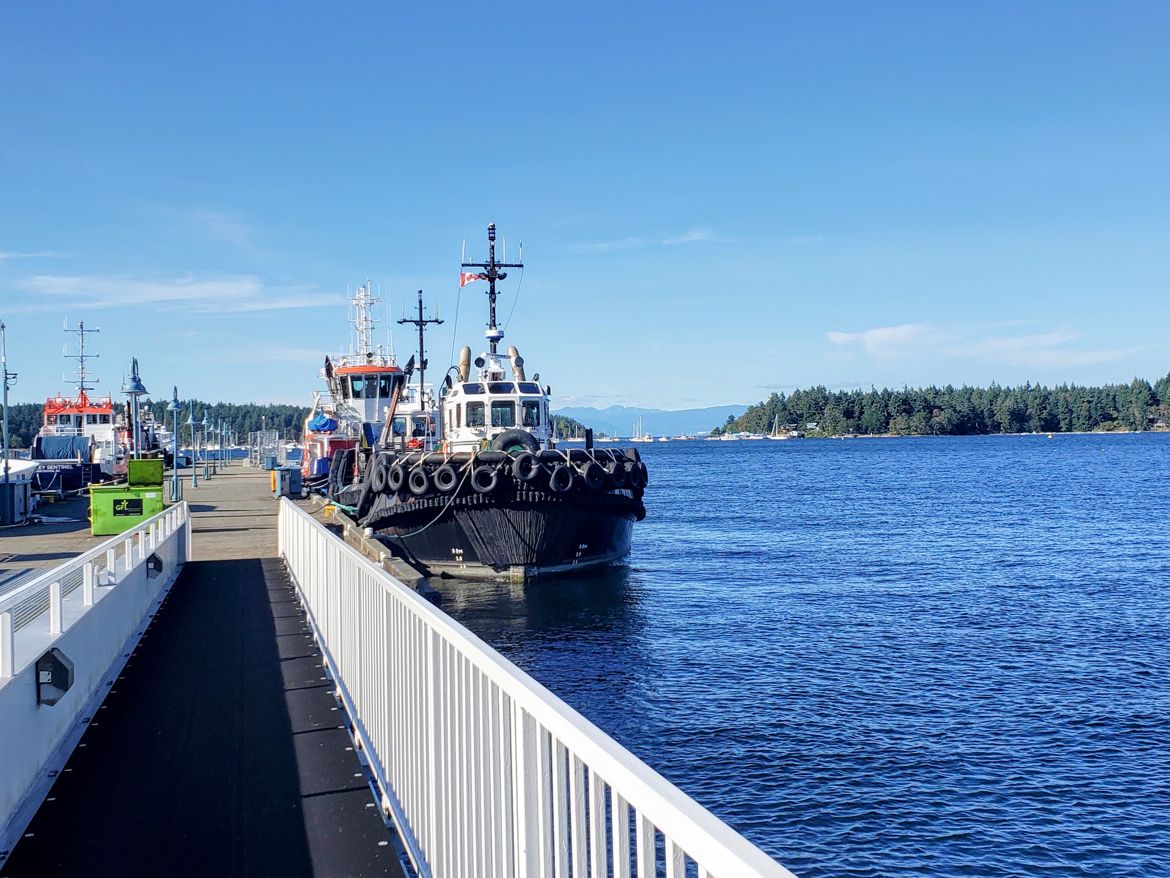
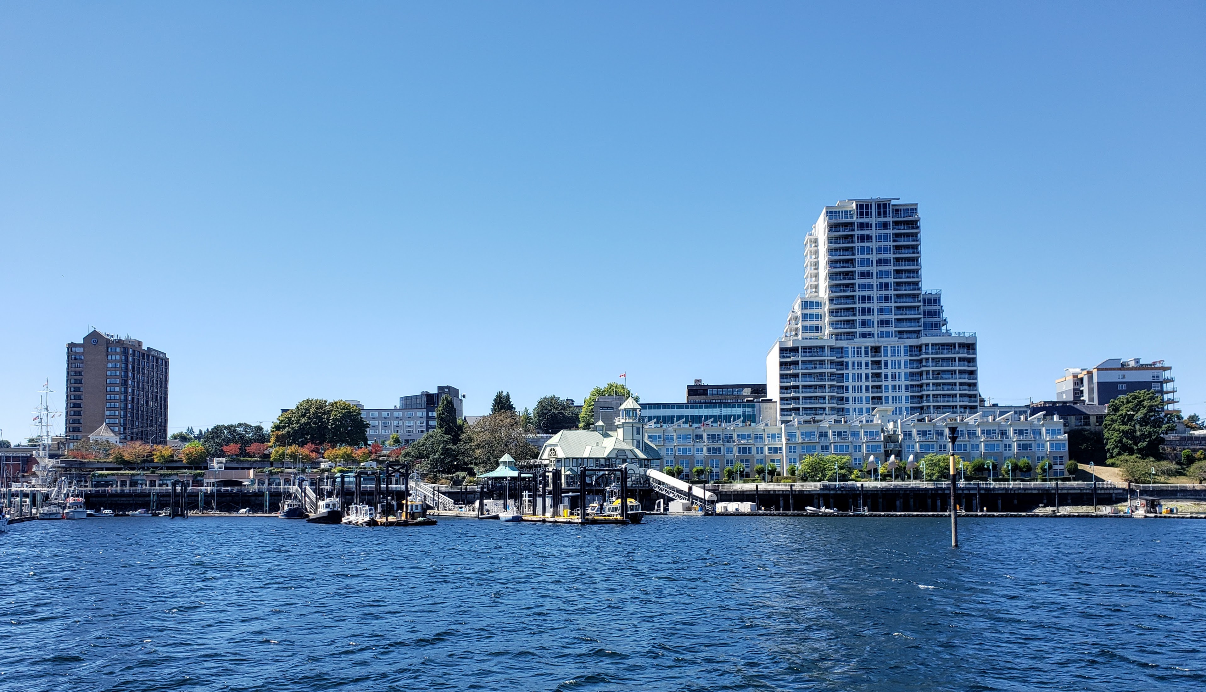 Nanaimo |
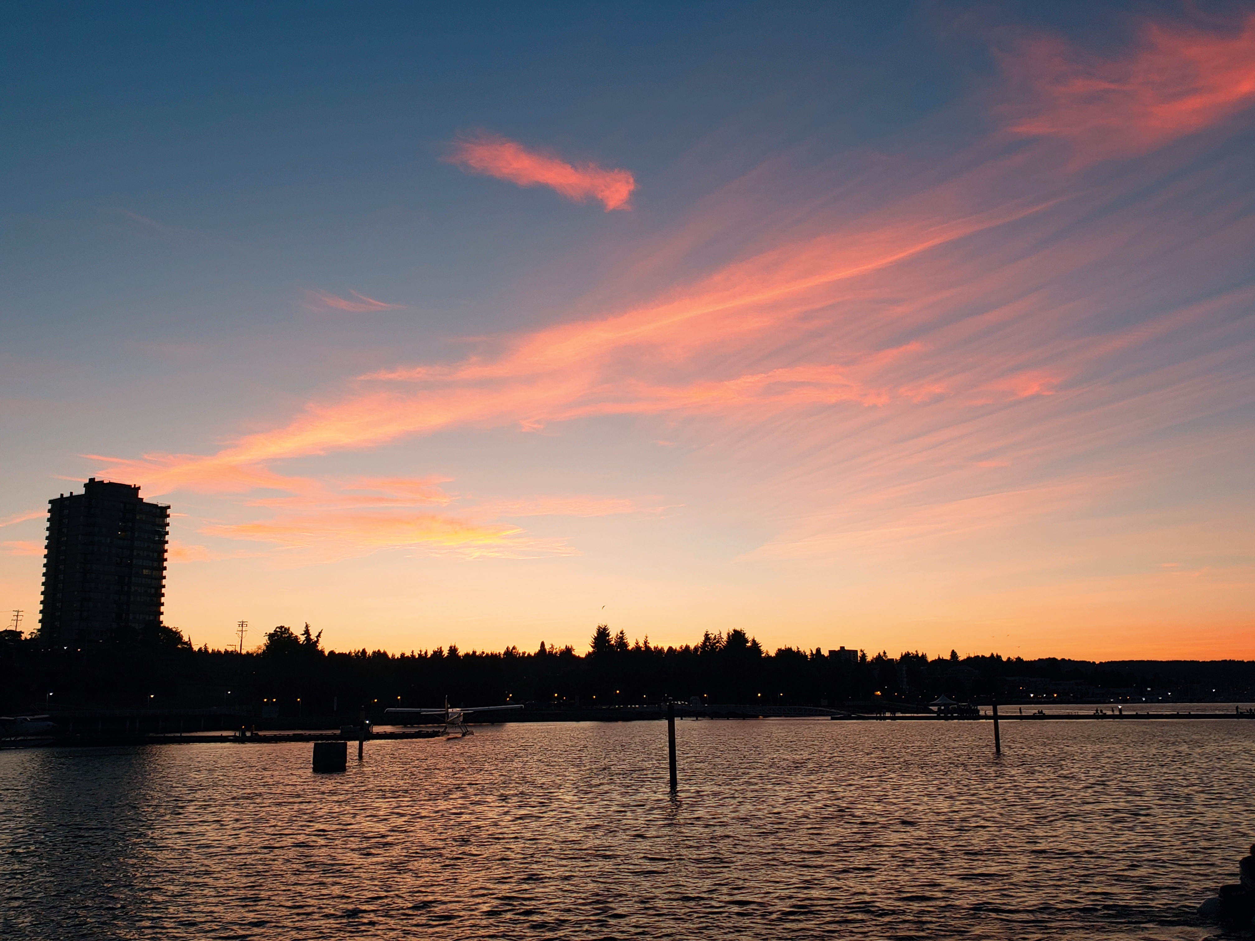 Nanaimo |
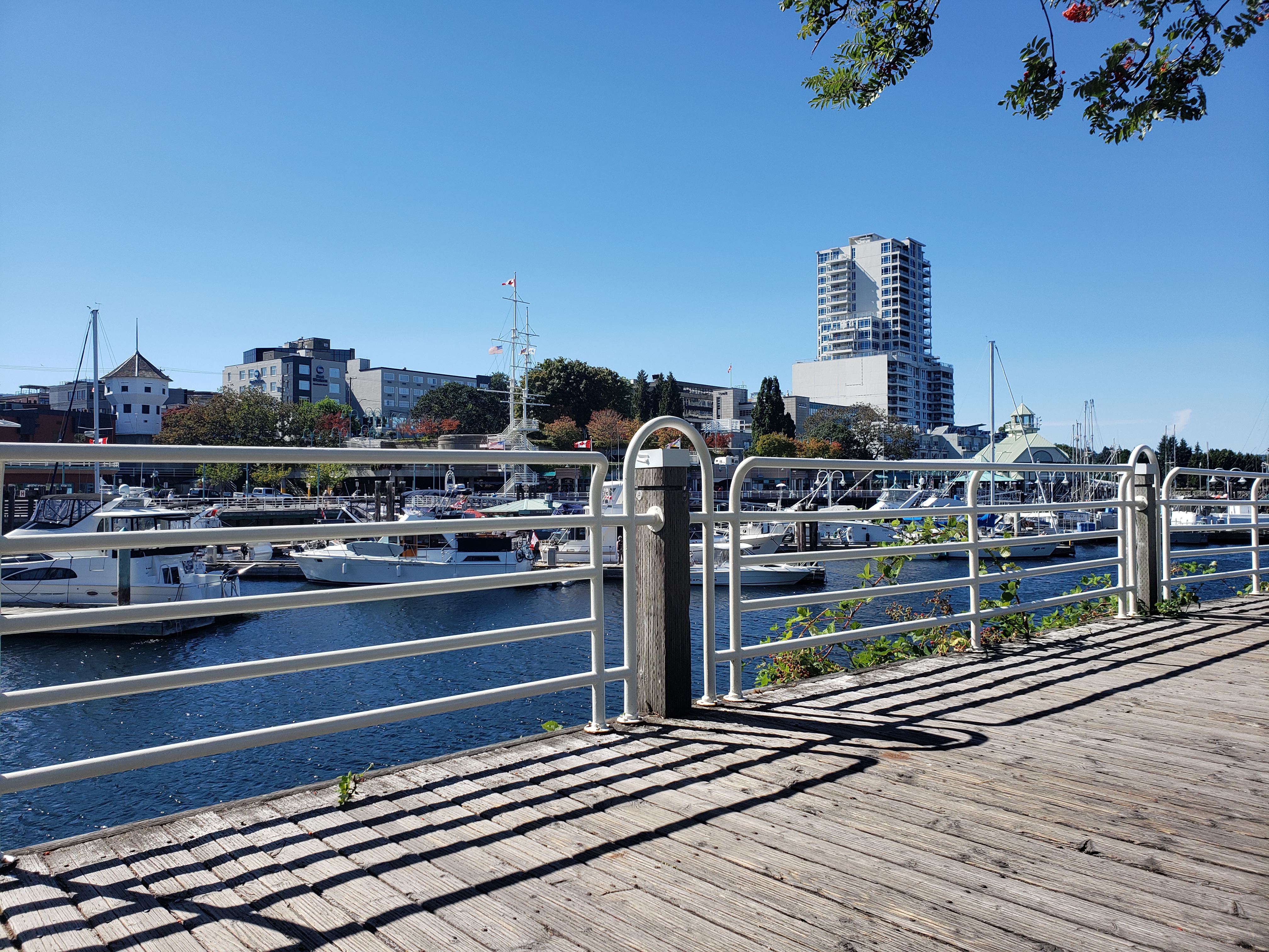 Nanaimo |
Download this this route and other routes in the Gulf Island, Desolation Sound and The Broughtons. Download so you can use them offline on your phone, tablet, or laptop when you cruising.
https://bc.boatinglocations.com/route-downloads/
Related Posts
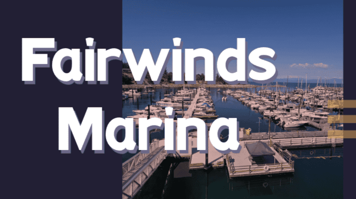
Fairwinds Marina, Vancouver Island BC
Fairwinds MarinaWelcome to Fairwinds Marina, a hidden gem nestled on…
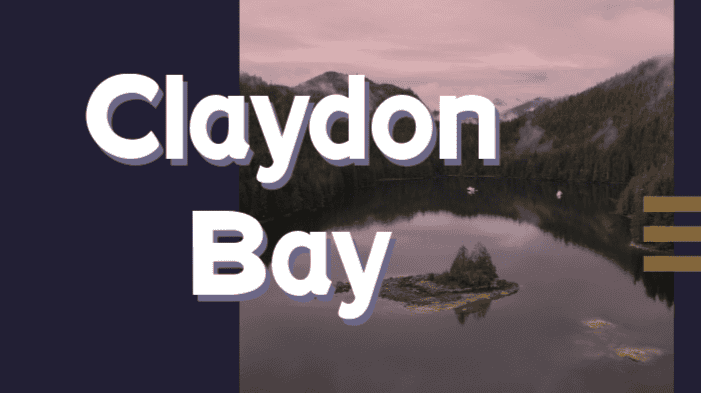
Claydon Bay Approach and Anchoring
Claydon Bay Welcome to our latest exploration of hidden coastal…
