Nestled between the mainland of British Columbia and Vancouver Island, the Gulf Islands offer an enchanting blend of tranquil landscapes, vibrant communities, and diverse marine life. This idyllic archipelago, with its idyllic beaches, lush forests, and quaint villages, beckons travelers seeking both adventure and serenity. Embarking on a 13-day exploration of the islands reveals a tapestry of experiences ranging from kayaking amidst playful seals to indulging in the local artisan cheese and wine. The following journey is a curated adventure designed to captivate the senses and recharge the spirit, promising memories that linger long after the journey ends.
The route meanders through a selection of the most captivating islands, each with its own unique charm. Begin by easing into island life on Salt Spring Island, famous for its vibrant arts scene and bustling Saturday market. From there, voyage to the secluded beaches of Galiano, where time seems to slow down and every sunset paints a postcard-perfect scene. The journey continues through the lush trails of Pender Island, the inviting community of Mayne Island, and the rugged beauty of Gabriola Island. As you sail from one island to the next, expect to encounter a medley of wildlife, from soaring eagles to curious orcas, as well as meet locals who eagerly share stories and tips about island living. Each day unfolds like a new chapter, woven together by the breathtaking natural beauty of this Pacific Northwest paradise.
Download this this route and other routes in the Gulf Island, Desolation Sound and The Broughtons. Download so you can use them offline on your phone, tablet, or laptop when you cruising.
https://bc.boatinglocations.com/route-downloads/
Gulf Islands Trip Route for 13 days
Starting at Bedwell Harbour and ending at Bedwell Harbour
Total Trip Distance: 166.0 miles / 267.2 km / 191.0 NM
| Day | Route | Nights Staying Here | Distance |
| 1 | Bedwell Harbour to Ganges | 1 | 18.1 miles / 29.1 km / 20.8 NM |
| 2 | Ganges to Montague Harbour | 2 | 7.9 miles / 12.7 km / 9.1 NM |
| 4 | Montague Harbour to Russell Island | 1 | 12.6 miles / 20.3 km / 14.5 NM |
| 5 | Russell Island to Princess Bay – Portland Island | 1 | 3.9 miles / 6.3 km / 4.5 NM |
| 6 | Princess Bay – Portland Island to Sidney | 2 | 5.1 miles / 8.2 km / 5.9 NM |
| 8 | Sidney to Maple Bay Marina | 1 | 19.9 miles / 32.0 km / 22.9 NM |
| 9 | Maple Bay Marina to Silva Bay Resort | 1 | 30.5 miles / 49.1 km / 35.1 NM |
| 10 | Silva Bay Resort to Wallace Island | 1 | 18.7 miles / 30.1 km / 21.5 NM |
| 11 | Wallace Island to Thetis Island Marina | 1 | 9.4 miles / 15.1 km / 10.8 NM |
| 12 | Thetis Island Marina to Lyall Harbour | 1 | 29.7 miles / 47.8 km / 34.2 NM |
| 13 | Lyall Harbour to Bedwell Harbour | 0 | 10.2 miles / 16.4 km / 11.7 NM |
Day 1: Bedwell Harbour to Ganges
Todays travel distance: 18.1 miles / 29.1 km / 20.8 NM
Nights staying: 1
Your Destination Ganges
Ganges.
Bay
Gulf Islands
Coordinates Decimal: 48.855, -123.499
Coordinates Degrees Minutes Seconds(DMS): 48° 51′ 18.000″N, -124° 30′ 3.600″W
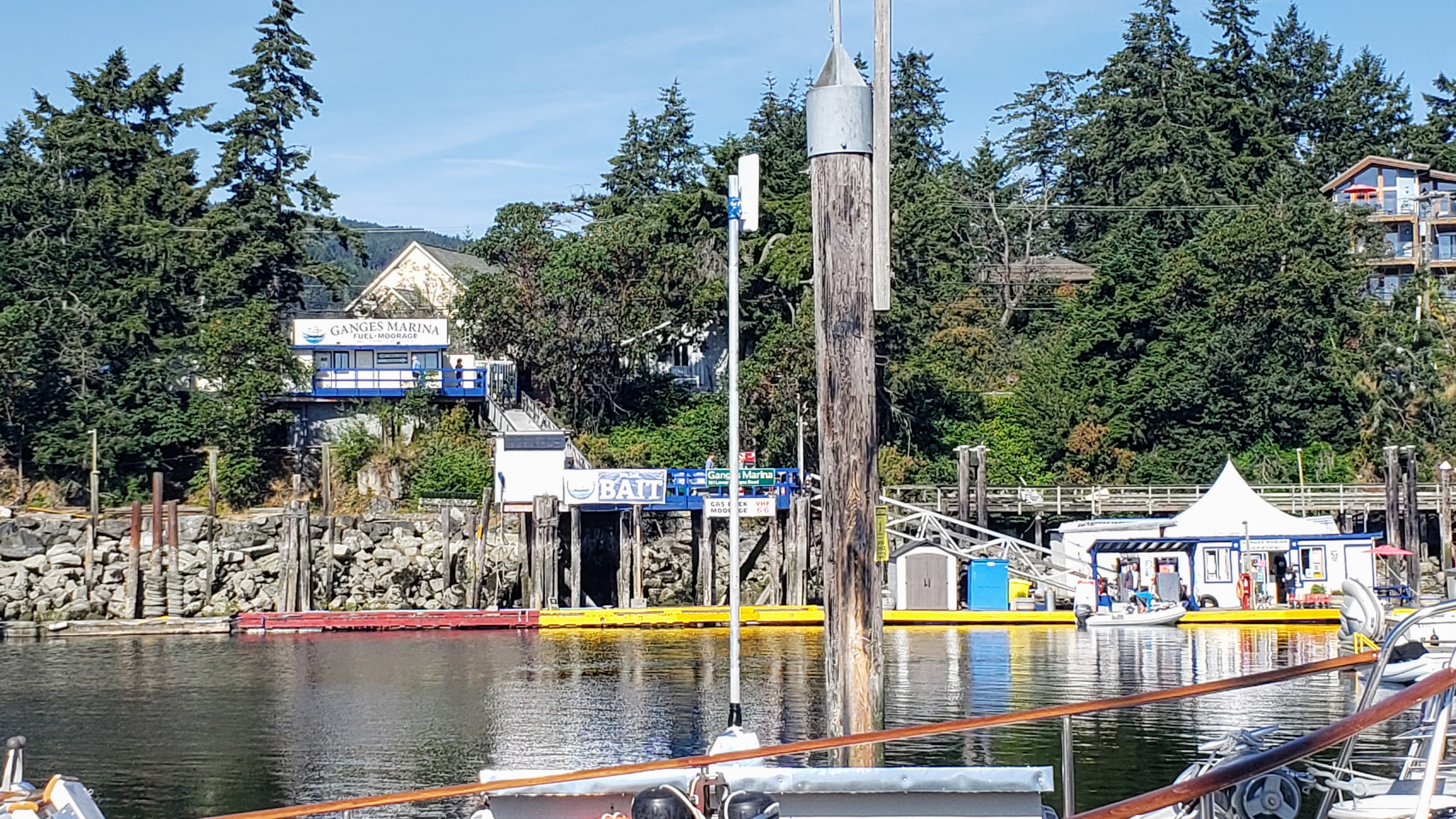
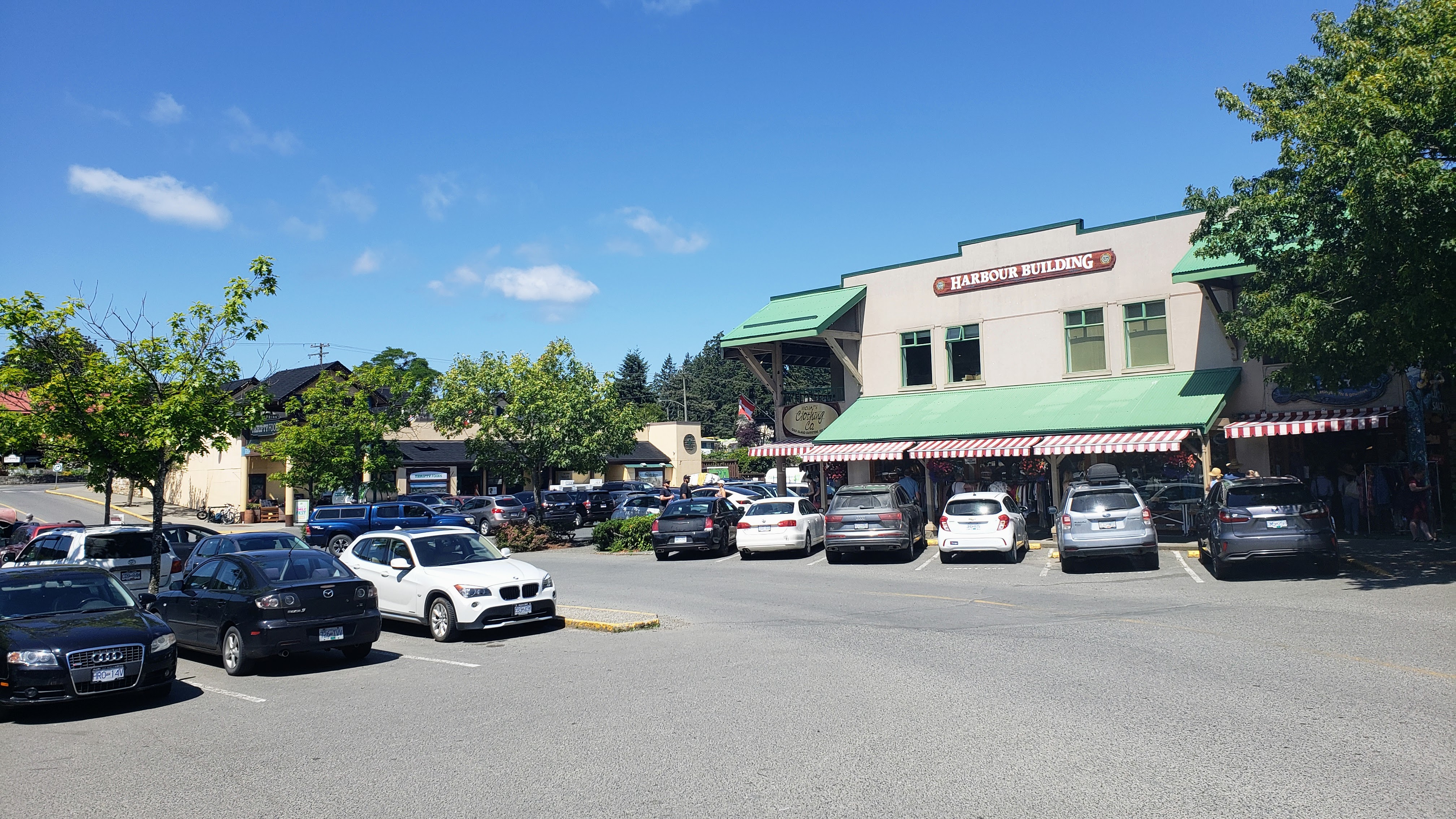
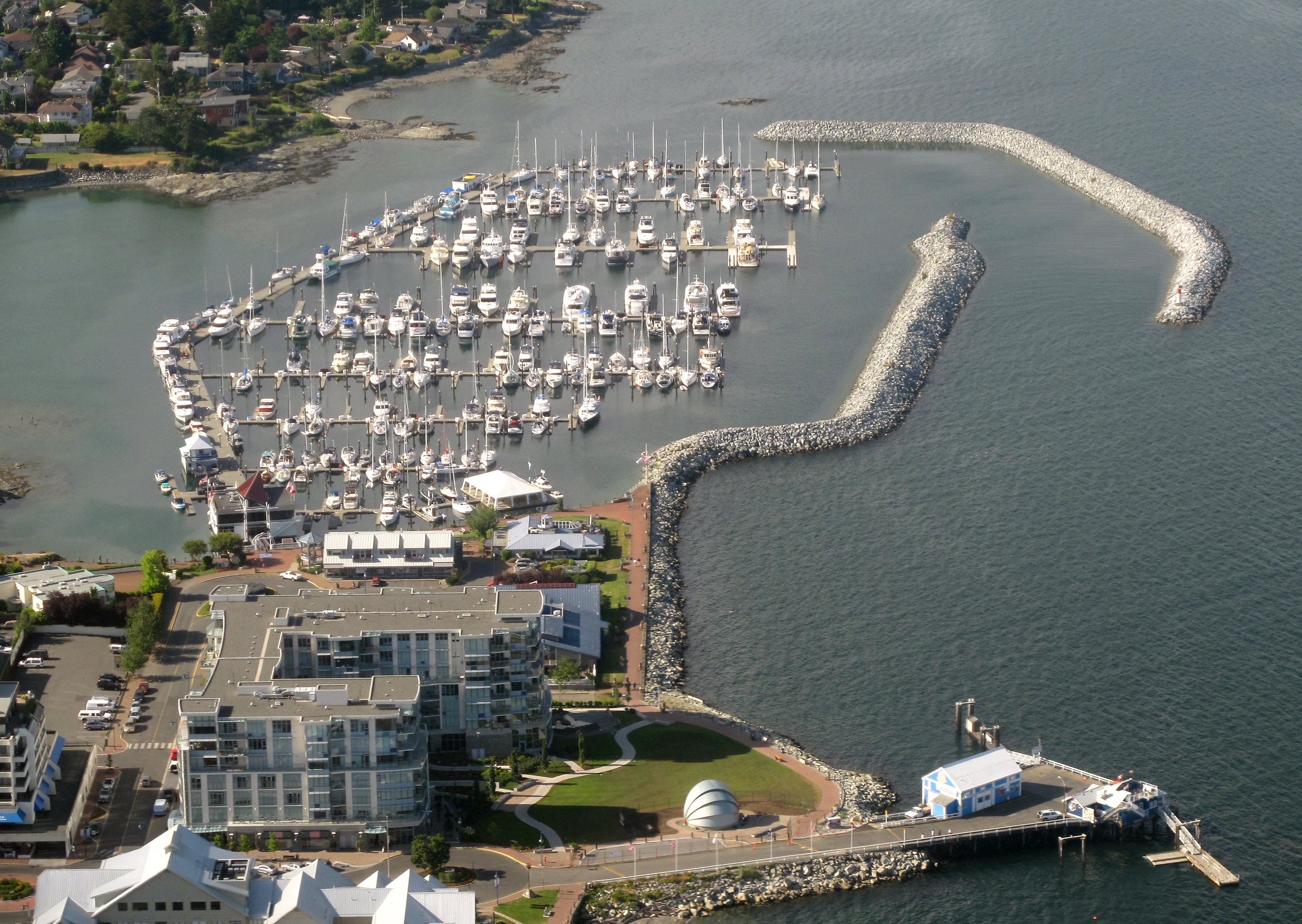
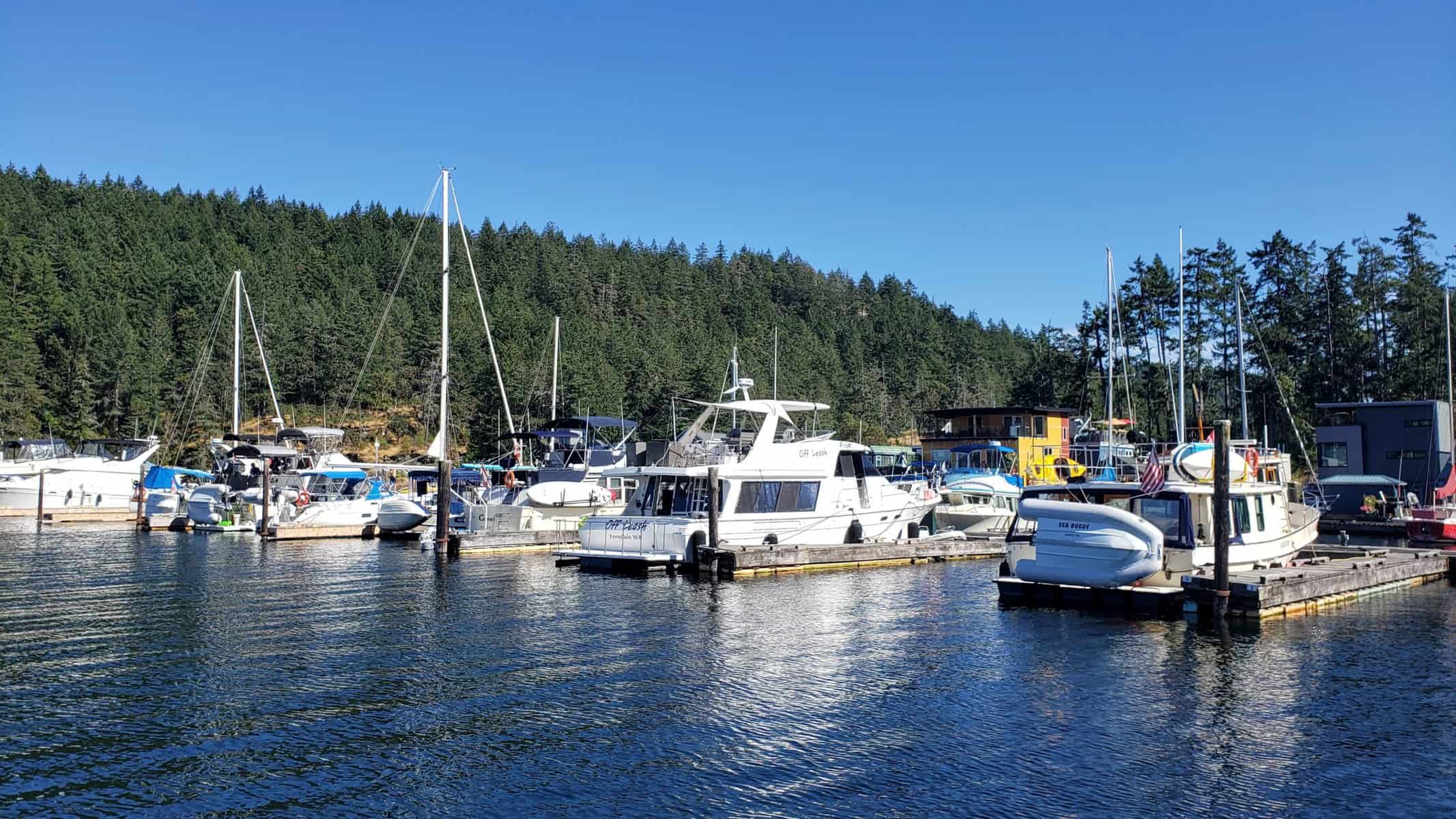
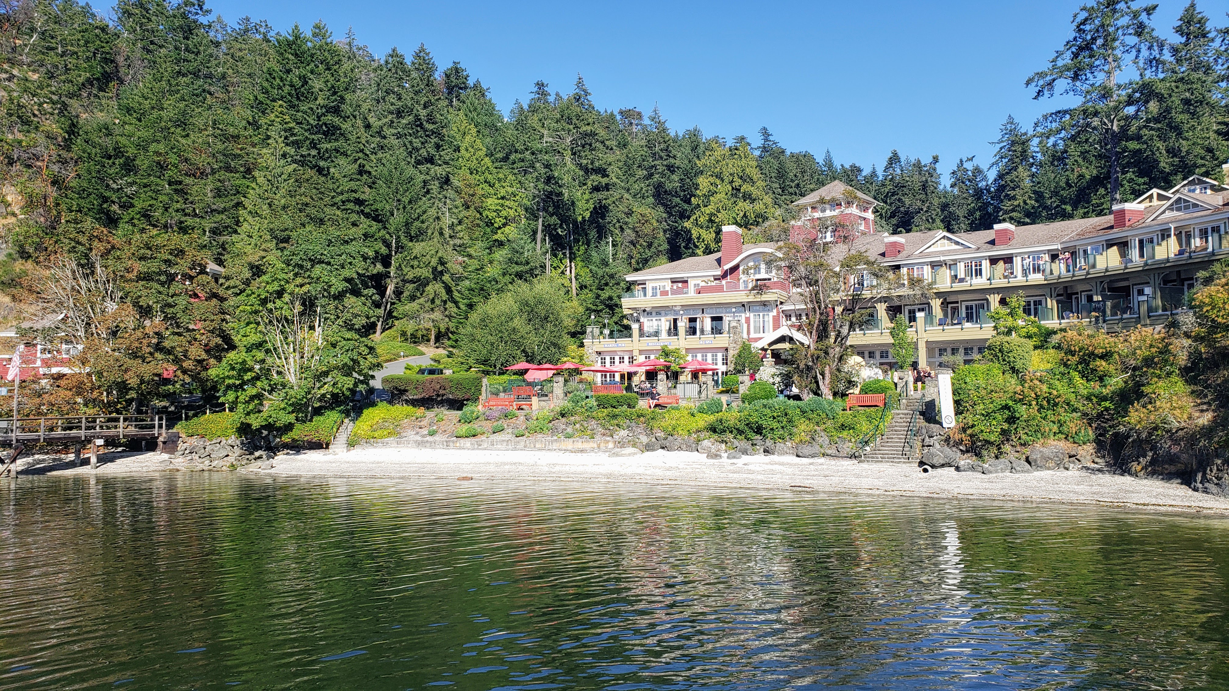
Ganges, the picturesque heart of Salt Spring Island in British Columbia, is a haven for boaters and sea-lovers alike. Nestled in the Southern Gulf Islands, this charming town offers a serene escape with its stunning natural beauty and vibrant community spirit. As the main commercial and cultural center of Salt Spring Island, Ganges is bustling with activity, featuring quaint shops, local art galleries, and a variety of restaurants that serve up fresh, local cuisine.
The town is most famous for its boating culture. The Ganges Harbour is a bustling hub, teeming with sailboats, yachts, and dinghies. Marinas and docks line the waterfront, offering services and amenities for seafarers embarking on their next marine adventure. The sheltered waters of the harbour make it a perfect mooring spot, and the surrounding seascape of BC provides some of the world’s most scenic sailing routes.
What truly sets Ganges apart is its vibrant community. The famous Salt Spring Island Saturday Market is a must-visit, where locals and visitors alike peruse the stalls for handcrafted goods, local produce, and unique art, all while enjoying the lively atmosphere. Cultural events, music festivals, and art shows are frequent, reflecting the town’s creative and eclectic spirit.
 Ganges |
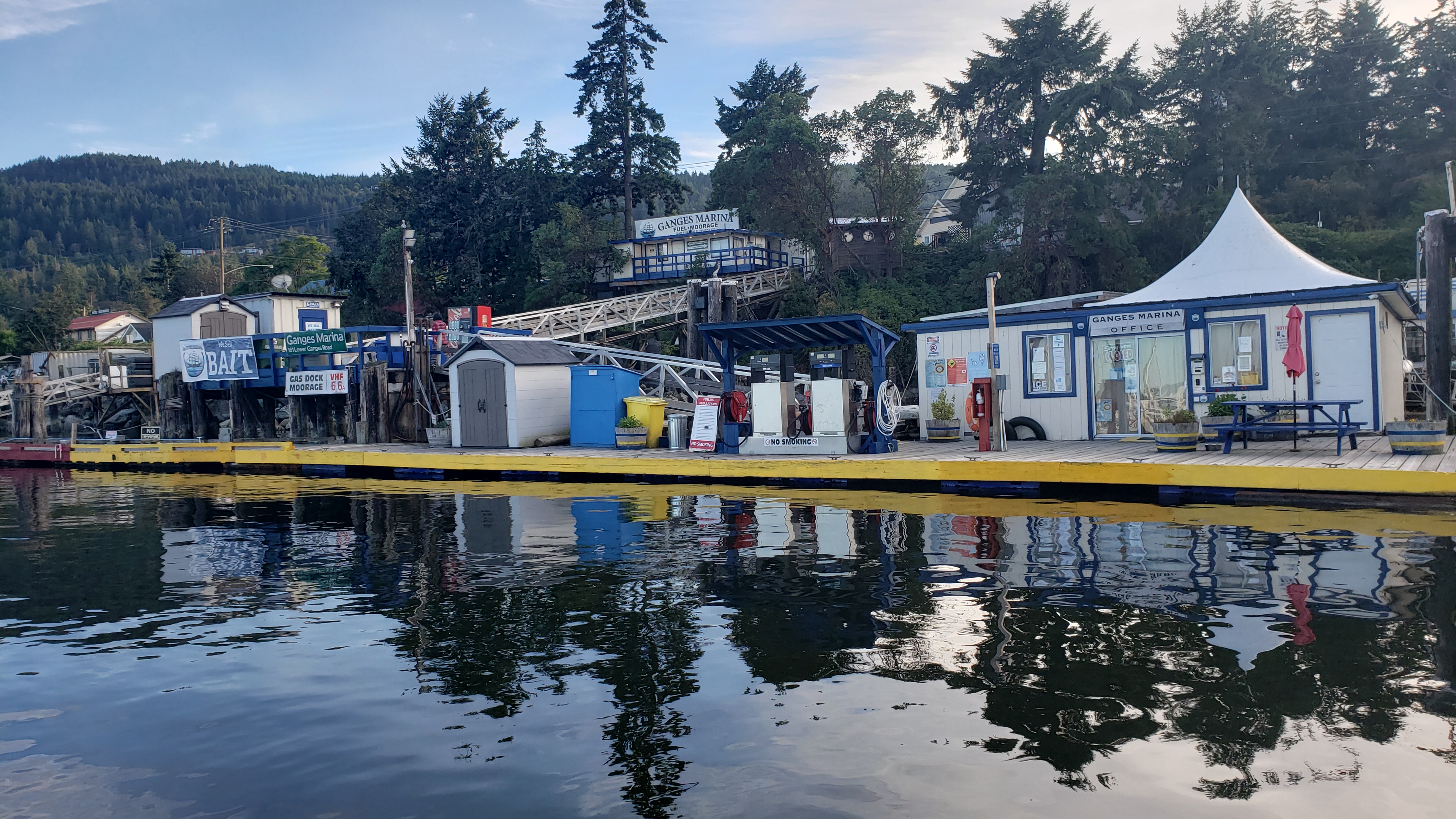 Ganges |
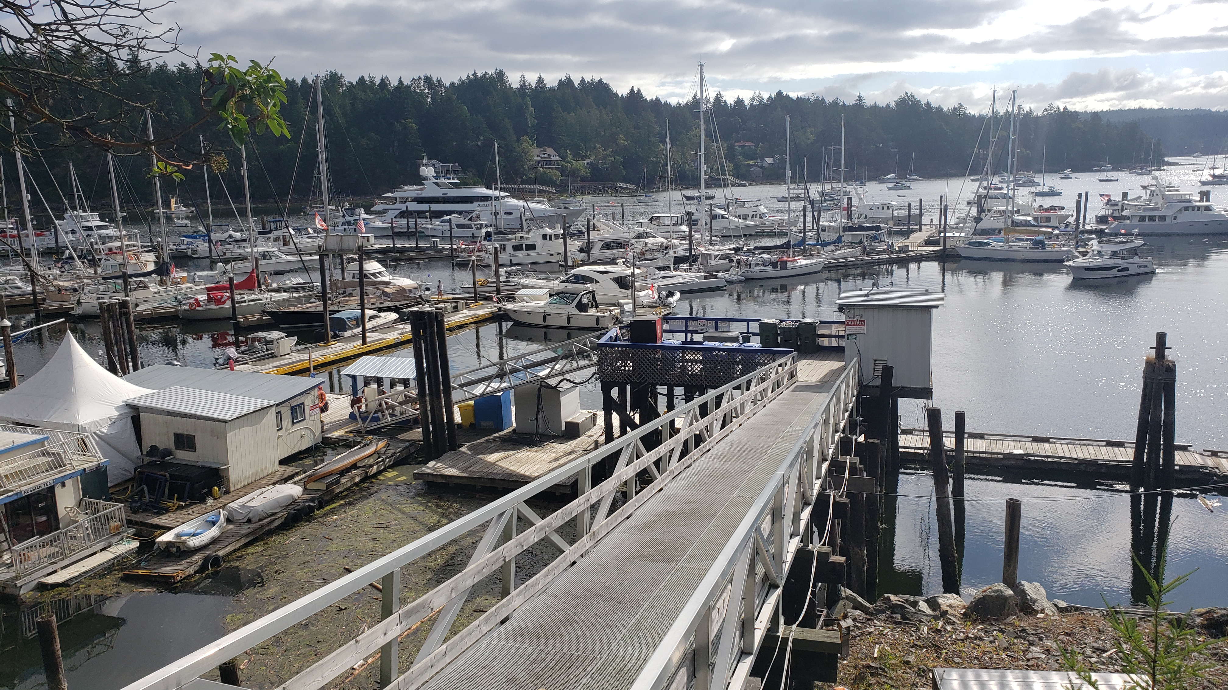 Ganges |
Day 2: Ganges to Montague Harbour
Todays travel distance: 7.9 miles / 12.7 km / 9.1 NM
Nights staying: 2
Your Destination Montague Harbour
Beach to the north of Montague Harbour.
Gulf Islands
Coordinates Decimal: 48.891, -123.395
Coordinates Degrees Minutes Seconds(DMS): 48° 53′ 27.240″N, -124° 36′ 16.920″W
Amazing sunsets. Don’t miss out on the bus that you can take to the local pub, it is quite an experience.
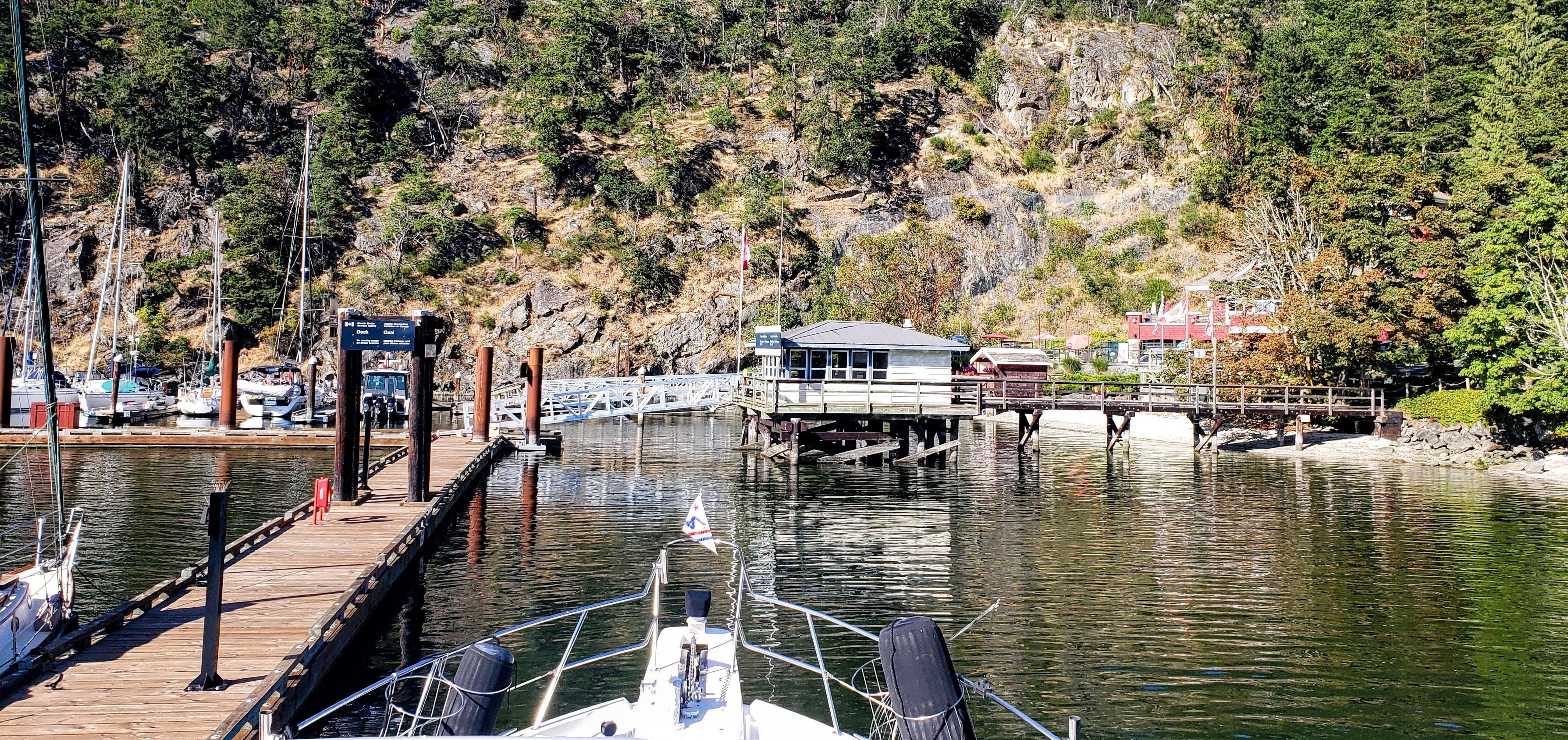
Montague Harbour offers sheltered moorage with good anchoring, at depths from 20 to 50 feet.
Even though there can be many boats in this harbour, it is a great place to visit and you can usually find a place to drop anchor or to tie to a mooring buoy.
 Sunset at Montague Harbour. |
 Montague Harbour. |
 Sunset at Montague Harbour. |
Day 4: Montague Harbour to Russell Island
Todays travel distance: 12.6 miles / 20.3 km / 14.5 NM
Nights staying: 1
Your Destination Russell Island
Gulf Islands
Coordinates Decimal: 48.749, -123.411
Coordinates Degrees Minutes Seconds(DMS): 48° 44′ 56.760″N, -124° 35′ 20.760″W
Day 5: Russell Island to Princess Bay – Portland Island
Todays travel distance: 3.9 miles / 6.3 km / 4.5 NM
Nights staying: 1
Your Destination Princess Bay – Portland Island
Gulf Islands
Coordinates Decimal: 48.719, -123.369
Coordinates Degrees Minutes Seconds(DMS): 48° 43′ 7.680″N, -124° 37′ 50.340″W
Day 6: Princess Bay – Portland Island to Sidney
Todays travel distance: 5.1 miles / 8.2 km / 5.9 NM
Nights staying: 2
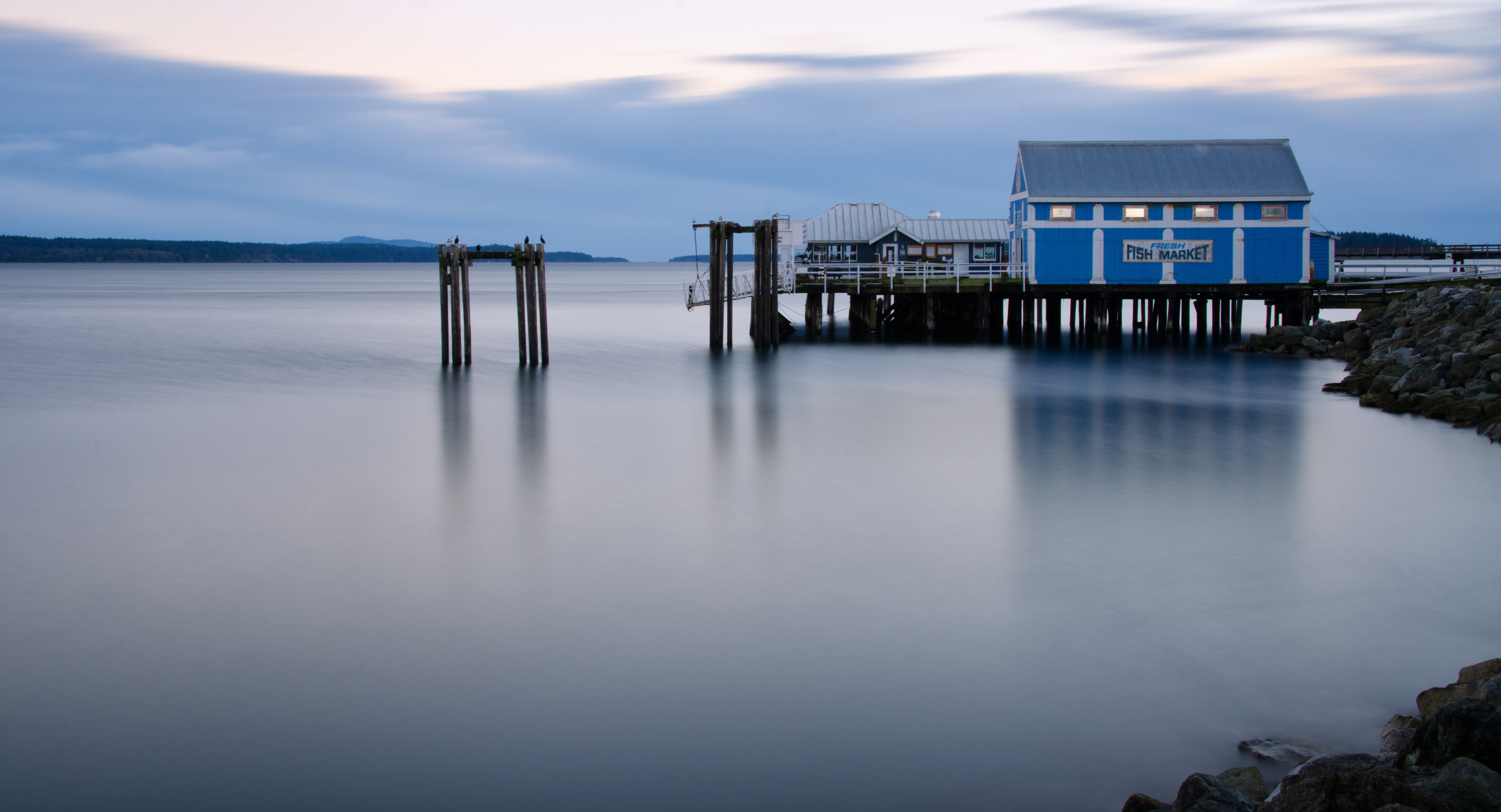
Your Destination Sidney
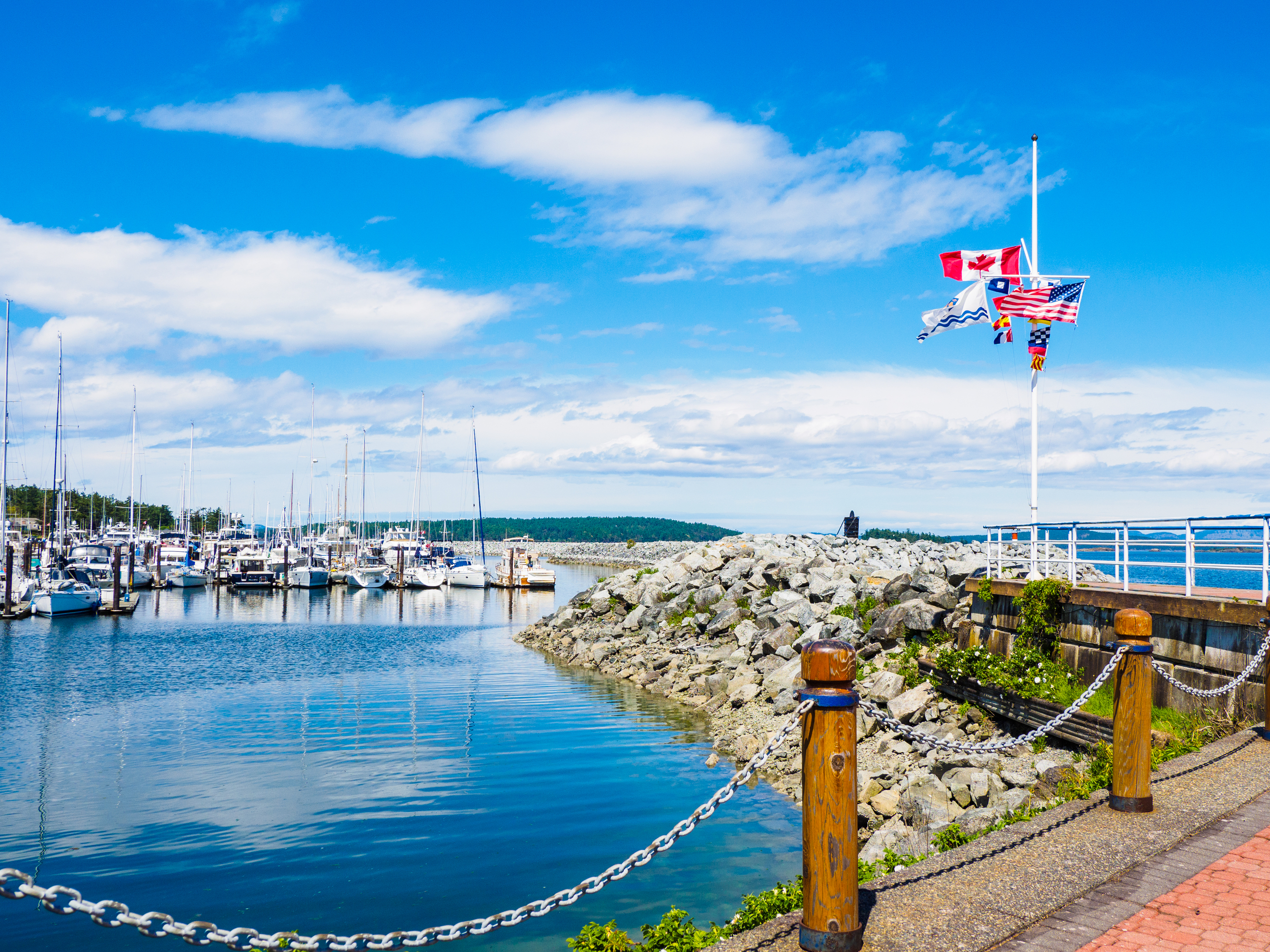
Sidney.
Victoria / Sidney Region
Coordinates Decimal: 48.652, -123.393
Coordinates Degrees Minutes Seconds(DMS): 48° 39′ 7.200″N, -124° 36′ 25.200″W
 Sidney. |
 Sidney. |
 Sidney. |
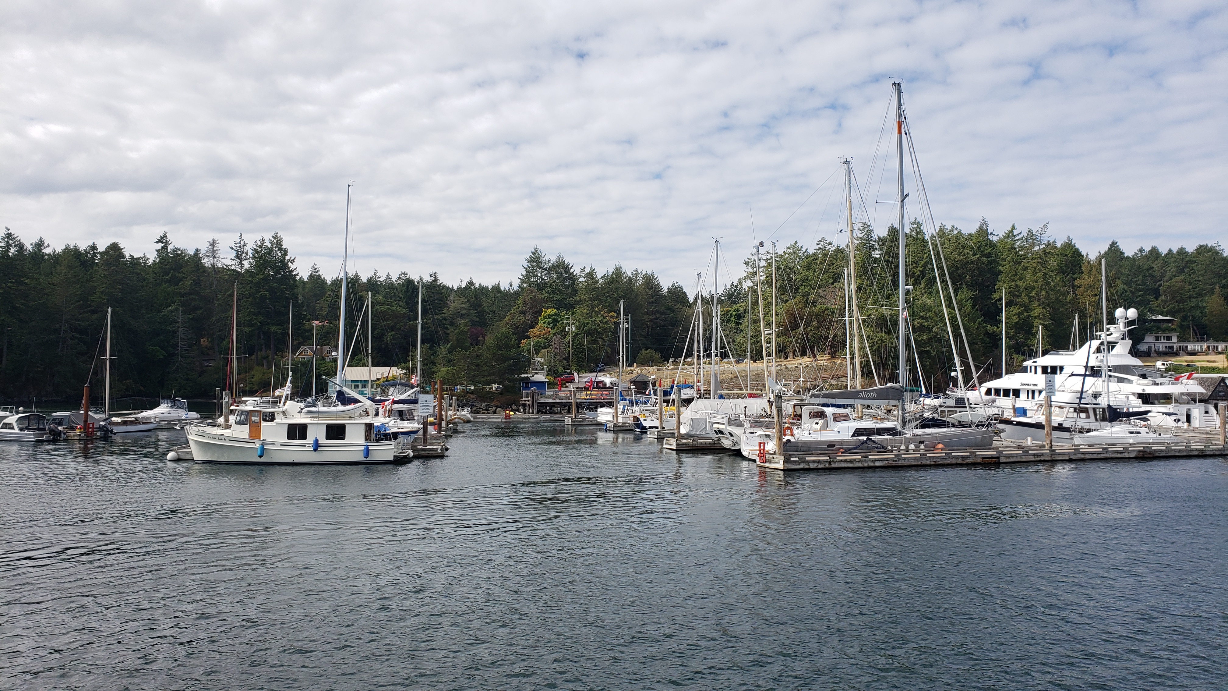
Day 8: Sidney to Maple Bay Marina
Todays travel distance: 19.9 miles / 32.0 km / 22.9 NM
Nights staying: 1
Your Destination Maple Bay Marina

Maple Bay view from the restaurant.
Gulf Islands
Coordinates Decimal: 48.795, -123.601
Coordinates Degrees Minutes Seconds(DMS): 48° 47′ 42.360″N, -124° 23′ 54.960″W
 On the docks at Maple Bay. |
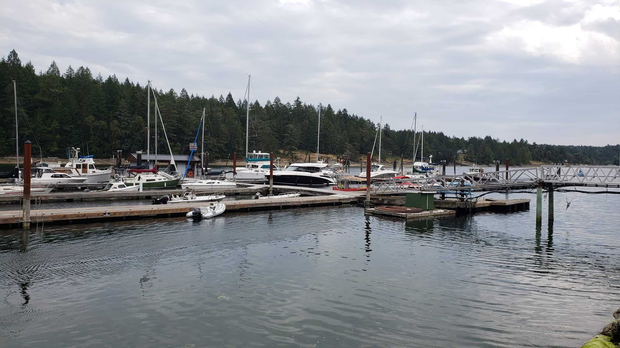
Day 9: Maple Bay Marina to Silva Bay Resort
Todays travel distance: 30.5 miles / 49.1 km / 35.1 NM
Nights staying: 1
Your Destination Silva Bay Resort
Silva Bay Resort
Gulf Islands
Coordinates Decimal: 49.150, -123.696
Coordinates Degrees Minutes Seconds(DMS): 49° 9′ 1.692″N, -124° 18′ 13.320″W
 Silva Bay Resort. |
Day 10: Silva Bay Resort to Wallace Island
Todays travel distance: 18.7 miles / 30.1 km / 21.5 NM
Nights staying: 1
Your Destination Wallace Island
Gulf Islands
Coordinates Decimal: 48.943, -123.556
Coordinates Degrees Minutes Seconds(DMS): 48° 56′ 34.080″N, -124° 26′ 40.200″W
Day 11: Wallace Island to Thetis Island Marina
Todays travel distance: 9.4 miles / 15.1 km / 10.8 NM
Nights staying: 1
Your Destination Thetis Island Marina
Thetis Island Marina.
Gulf Islands
Coordinates Decimal: 48.977, -123.669
Coordinates Degrees Minutes Seconds(DMS): 48° 58′ 38.640″N, -124° 19′ 51.240″W
Day 12: Thetis Island Marina to Lyall Harbour
Todays travel distance: 29.7 miles / 47.8 km / 34.2 NM
Nights staying: 1
Your Destination Lyall Harbour
Gulf Islands
Coordinates Decimal: 48.800, -123.196
Coordinates Degrees Minutes Seconds(DMS): 48° 48′ 0.000″N, -124° 48′ 14.400″W
Day 13: Lyall Harbour to Bedwell Harbour
Todays travel distance: 10.2 miles / 16.4 km / 11.7 NM
Nights staying: 0
Your Destination Bedwell Harbour
Bedwell Harbour.
Gulf Islands
Coordinates Decimal: 48.752, -123.243
Coordinates Degrees Minutes Seconds(DMS): 48° 45′ 7.560″N, -124° 45′ 25.920″W
 Bedwell Harbour. |
Download this this route and other routes in the Gulf Island, Desolation Sound and The Broughtons. Download so you can use them offline on your phone, tablet, or laptop when you cruising.
https://bc.boatinglocations.com/route-downloads/
Related Posts
Boating Destinations in British Columbia Featured in TV Shows and Films
British Columbia (BC), with its stunning landscapes and diverse waterways,…
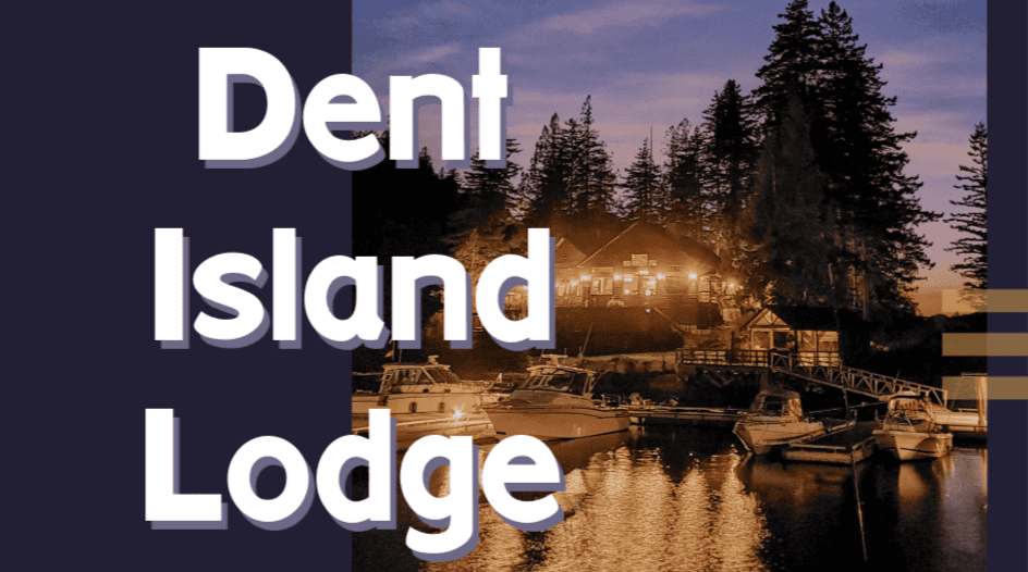
Dent Island Lodge BC
Dent Island Lodge Hidden amidst the breathtaking landscape of British…