Download this this route and other routes in the Gulf Island, Desolation Sound and The Broughtons. Download so you can use them offline on your phone, tablet, or laptop when you cruising.
https://bc.boatinglocations.com/route-downloads/
Discovery Islands Trip Route for 7 days
Starting at Campbell River and ending at Campbell River
Total Trip Distance: 114.3 miles / 183.9 km / 131.5 NM
| Day | Route | Nights Staying Here | Distance |
| 1 | Campbell River to Brown’s Bay Resort | 1 | 11.9 miles / 19.2 km / 13.7 NM |
| 2 | Brown’s Bay Resort to Octopus Islands Marine Provincial Park | 1 | 18.3 miles / 29.5 km / 21.1 NM |
| 3 | Octopus Islands Marine Provincial Park to Dent Island Lodge | 1 | 13.5 miles / 21.7 km / 15.5 NM |
| 4 | Dent Island Lodge to Bickley Bay | 1 | 12.8 miles / 20.6 km / 14.7 NM |
| 5 | Bickley Bay to Blind Channel Resort | 1 | 5.9 miles / 9.5 km / 6.8 NM |
| 6 | Blind Channel Resort to Hanfield Bay | 1 | 18.9 miles / 30.4 km / 21.8 NM |
| 7 | Hanfield Bay to Hemming Bay | 1 | 4.0 miles / 6.4 km / 4.6 NM |
| 8 | Hemming Bay to Campbell River | 0 | 29.0 miles / 46.7 km / 33.4 NM |
Day 1: Campbell River to Brown’s Bay Resort
Travel distance: 11.9
Nights staying: 1
Your Destination Brown’s Bay Resort
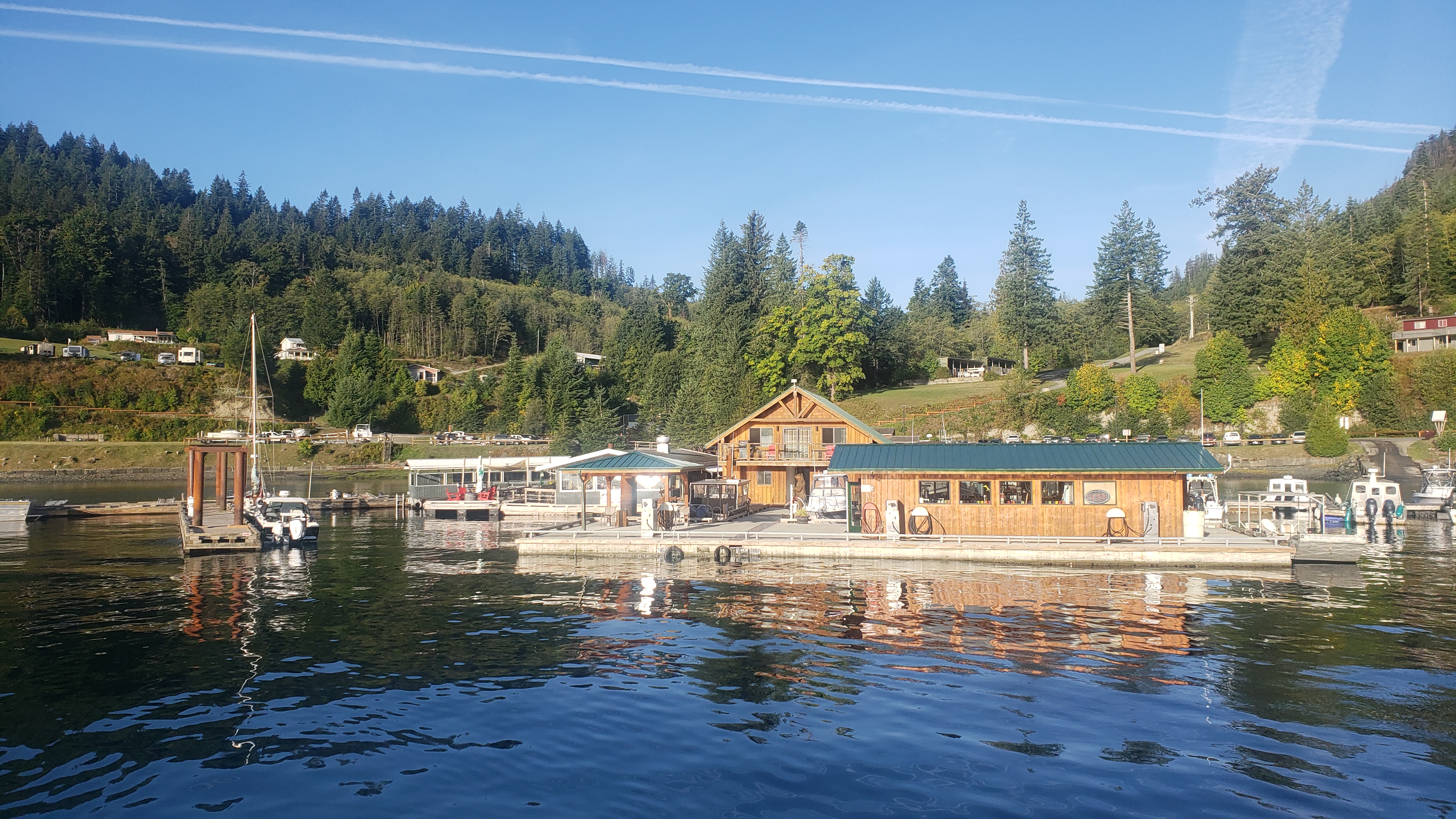
Brown’s Bay fuel dock.
Campbell River
Coordinates Decimal: 50.162, -125.372
Coordinates Degrees Minutes Seconds(DMS): 50° 9′ 43.200″N, -126° 37′ 40.800″W
Nestled along a picturesque coastline, Brown’s Bay Resort offers a serene escape into nature’s embrace. The resort, known for its channel views, brings together the charm of a secluded hideaway with the comforts of modern amenities.
Accommodations: Guests can choose from a variety of lodging options, including elegantly appointed cabins, spacious RV sites, and marina slips. Each cabin is designed to offer a blend of rustic charm and contemporary comfort, with private decks overlooking the bay.
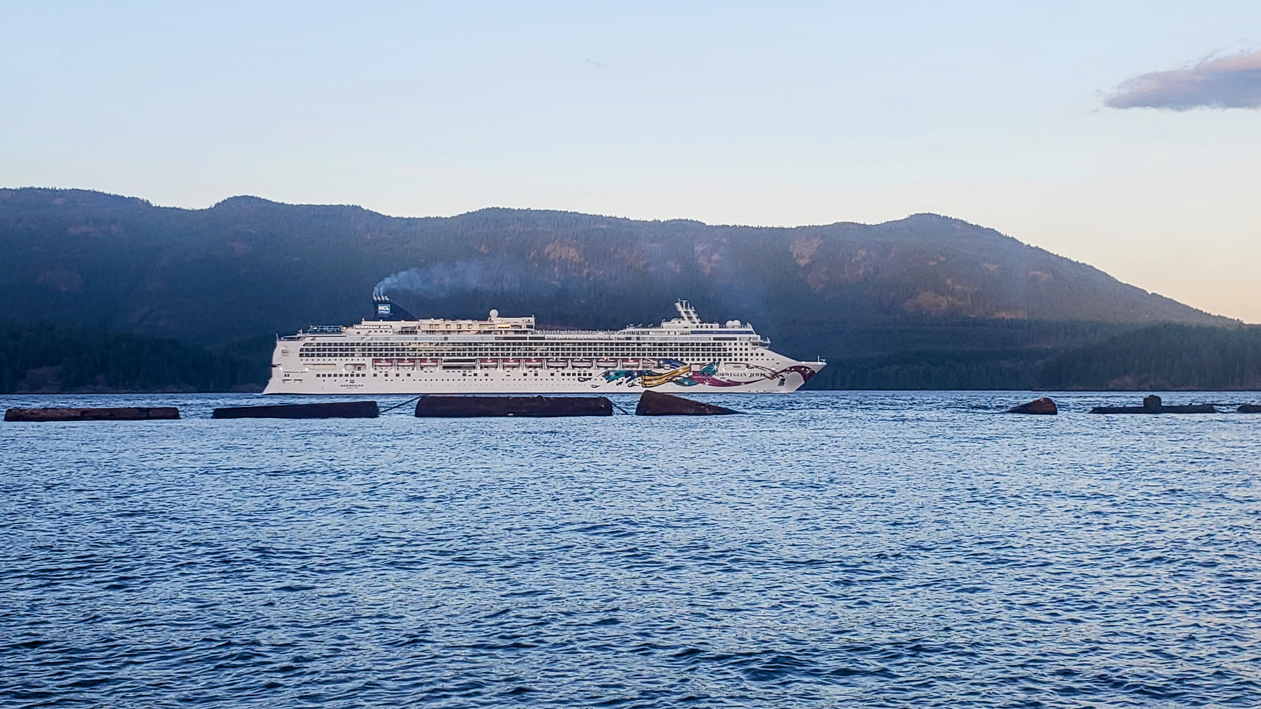 Cruise ship passing by Brown’s Bay. |
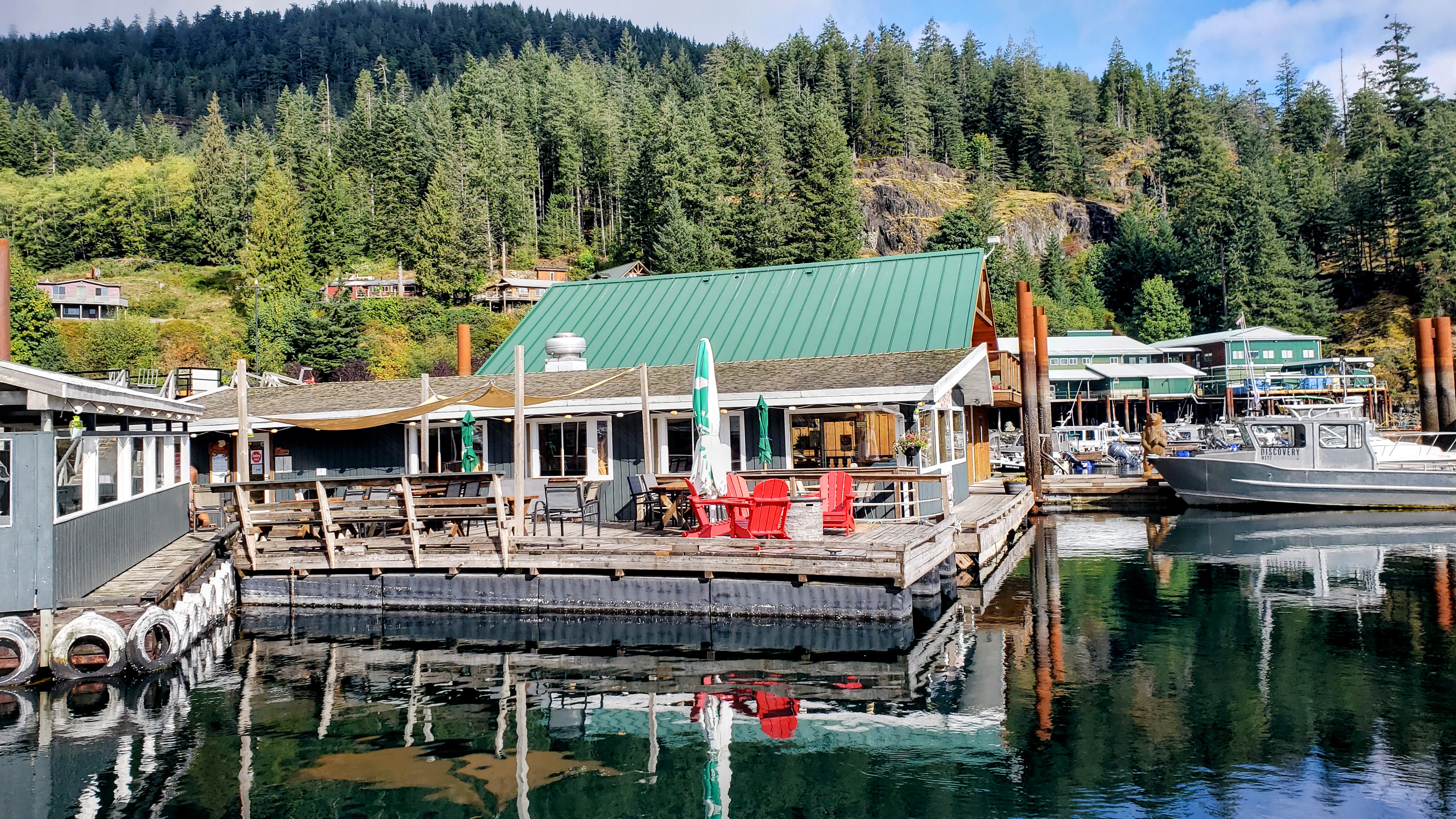 Dockside Restaurant at Brown’s Bay. |
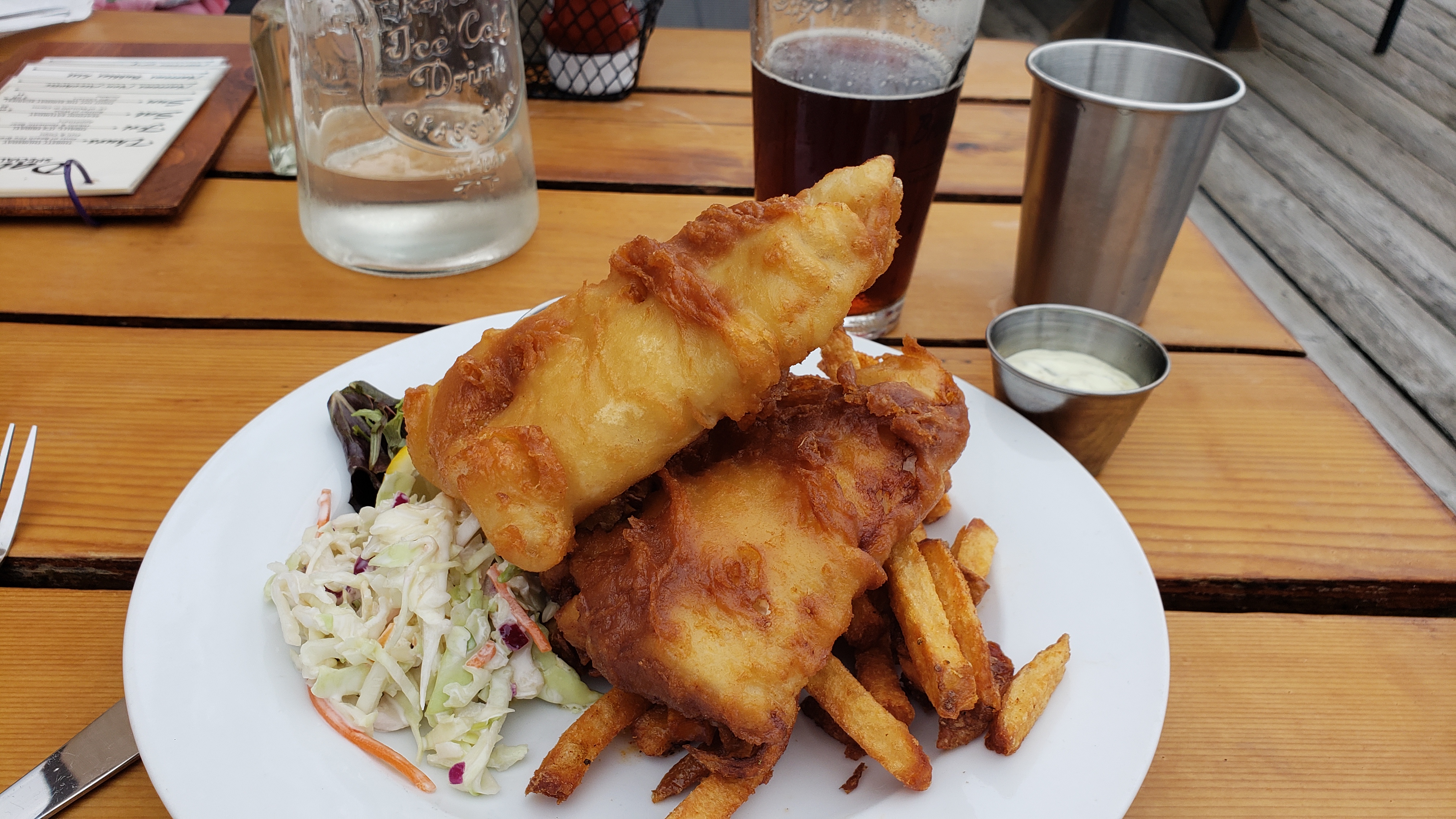 Amazing fish and chips on the dock at Brown’s Bay. |
Day 2: Brown’s Bay Resort to Octopus Islands Marine Provincial Park
Travel distance: 18.3
Nights staying: 1
Your Destination Octopus Islands Marine Provincial Park
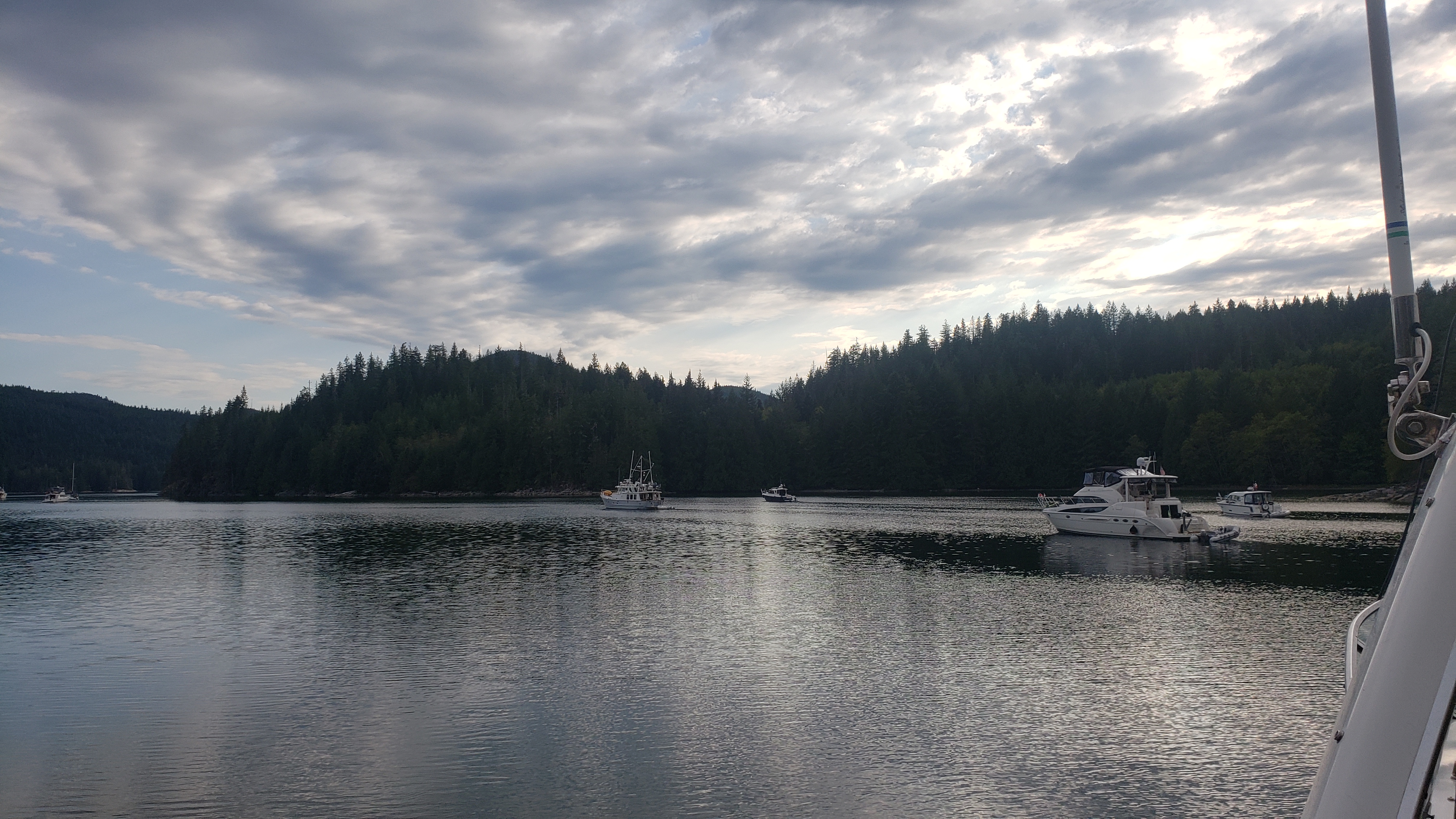
Octopus Islands.
Octopus Islands
Discovery Islands
Coordinates Decimal: 50.277, -125.229
Coordinates Degrees Minutes Seconds(DMS): 50° 16′ 38.640″N, -126° 46′ 15.600″W
Octopus Islands, located in British Columbia, Canada, is a captivating destination for boaters seeking a blend of natural beauty and serene adventure. Nestled in the Discovery Islands archipelago, these islands are renowned for their lush, evergreen forests and crystal-clear waters, offering a pristine and secluded environment.
As you approach Octopus Islands, the tranquil sounds of nature welcome you. The islands are fringed by rugged shorelines, where the forest meets the ocean in a spectacular display of unspoiled wilderness. The waters around the islands are teeming with marine life, including playful seals, majestic orcas, and, of course, the elusive octopus, providing ample opportunities for wildlife watching.
The anchorages here are well-protected, offering safe harbor for boats of various sizes. These secluded spots are perfect for anchoring overnight, where you can enjoy the star-filled sky away from the lights of the city. Kayaking and paddleboarding are popular activities, allowing you to explore the intricate waterways between the islands and their hidden coves.
On land, the islands boast a network of hiking trails that meander through dense forests, leading to vantage points with breathtaking views of the surrounding waters and distant mountains. These trails are often quiet, allowing for a peaceful communion with nature.
For provisioning and supplies, boaters can head to nearby communities on Quadra Island or Cortes Island, which offer amenities and a chance to experience the local culture.
Octopus Islands is a gem for boaters seeking solitude and a deep connection with the natural world. The combination of scenic beauty, wildlife encounters, and the tranquility of the waters make it a must-visit destination in the Pacific Northwest.
Scenic BeautyPrepare to be awe-inspired by the breathtaking scenery that graces Octopus Islands Marine Provincial Park. The park encompasses a collection of islets, coves, and isles, each adorned with lush forests of towering fir and cedar trees. Rocky shores and pebbled beaches add to the park’s rugged charm, while emerald waters glisten under the warm Pacific sun. Whether you’re exploring by boat or embarking on a kayak expedition, the coastal vistas and panoramic views will leave you spellbound.
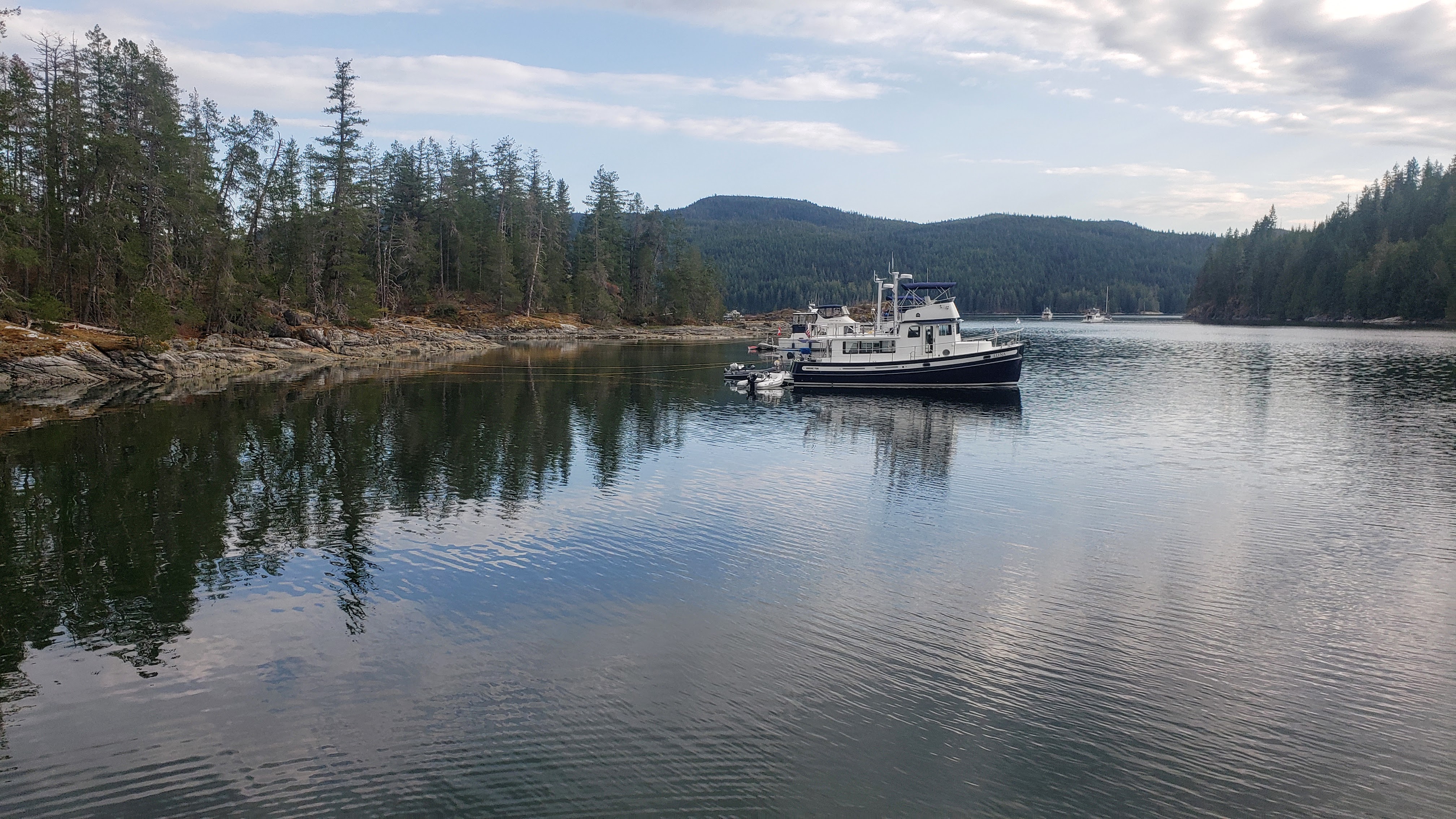 Octopus Islands |
 Octopus Islands |
Day 3: Octopus Islands Marine Provincial Park to Dent Island Lodge
Travel distance: 13.5
Nights staying: 1
Your Destination Dent Island Lodge
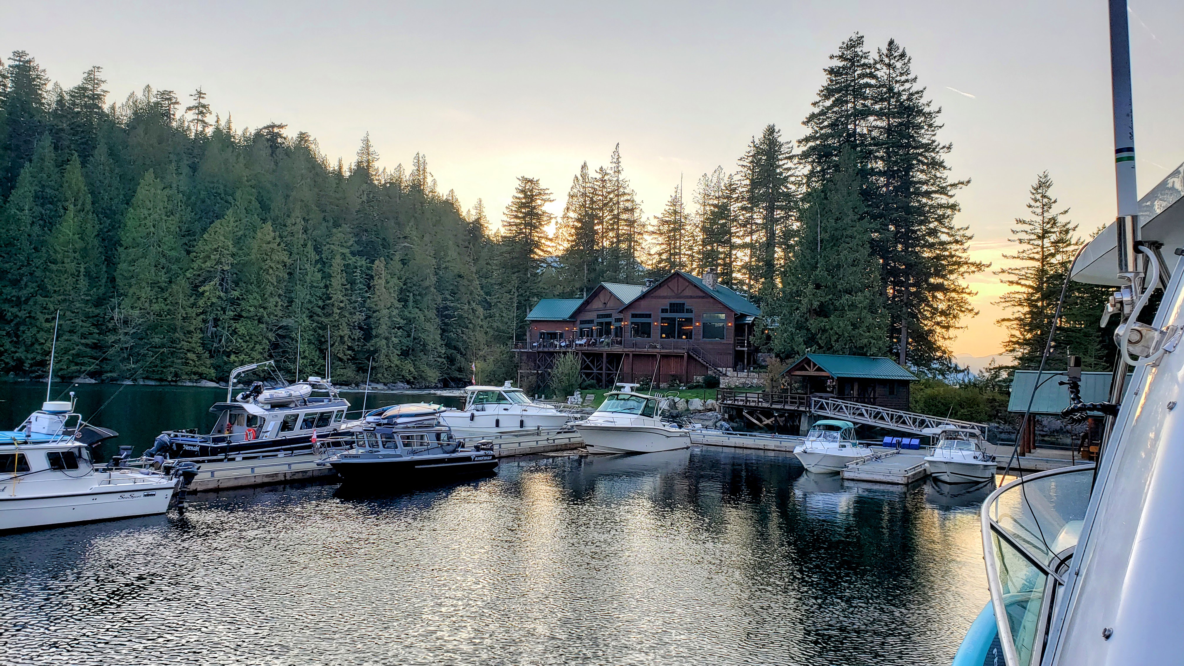
Dent Island Lodge
Discovery Islands
Coordinates Decimal: 50.405, -125.187
Coordinates Degrees Minutes Seconds(DMS): 50° 24′ 17.208″N, -126° 48′ 45.612″W
Nestled in the pristine wilderness of British Columbia’s Discovery Islands, Dent Island Lodge is a haven for those seeking both adventure and tranquility. Surrounded by the rugged beauty of the Pacific Northwest, the Lodge offers a luxurious retreat where guests can immerse themselves in nature’s embrace.
Known for its world-class fishing experiences, Dent Island Lodge caters to anglers of all levels, providing unrivaled opportunities to catch a variety of fish in the fertile waters nearby. Guided by experienced local captains, visitors can explore the richness of the area’s marine life, making each fishing expedition both exciting and rewarding.
But fishing is just the beginning of what Dent Island Lodge has to offer. Guests can also indulge in relaxing spa services, gourmet dining, and a wide range of outdoor activities like hiking, kayaking, and wildlife watching. Each guest room is elegantly designed to reflect the natural surroundings, providing comfort and refinement in a rustic setting.
Whether sitting by the fire, enjoying a sumptuous meal, or venturing into the wild landscapes, visitors will find Dent Island Lodge to be more than just a destination—it’s a genuine Desolation Sound experience.
With attentive staff, top-notch amenities, and a setting that combines luxury with wilderness, Dent Island Lodge is a unique escape, providing the perfect balance between relaxation and adventure. It’s a place where memories are made, and the soul is refreshed, all against the breathtaking backdrop of British Columbia’s coastal splendor.
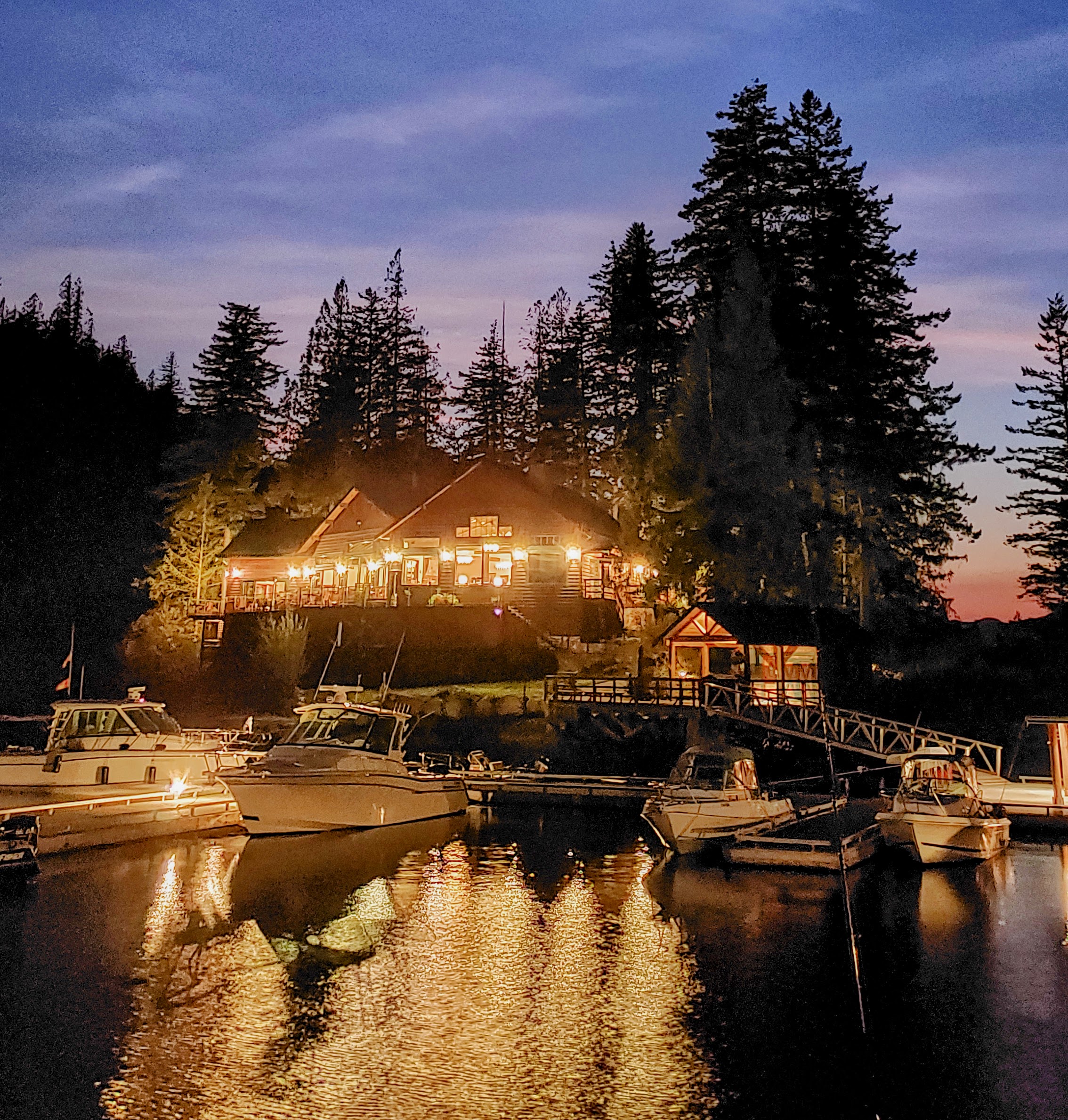 Nightime at Dent Island Lodge. |
Download this this route and other routes in the Gulf Island, Desolation Sound and The Broughtons. Download so you can use them offline on your phone, tablet, or laptop when you cruising.
https://bc.boatinglocations.com/route-downloads/
Day 4: Dent Island Lodge to Bickley Bay
Travel distance: 12.8
Nights staying: 1
Your Destination Bickley Bay
East Thurlow Island
Desolation Sound
Coordinates Decimal: 50.450, -125.400
Coordinates Degrees Minutes Seconds(DMS): 50° 27′ 0.000″N, -126° 36′ 0.000″W
Day 5: Bickley Bay to Blind Channel Resort
Travel distance: 5.9
Nights staying: 1
Your Destination Blind Channel Resort
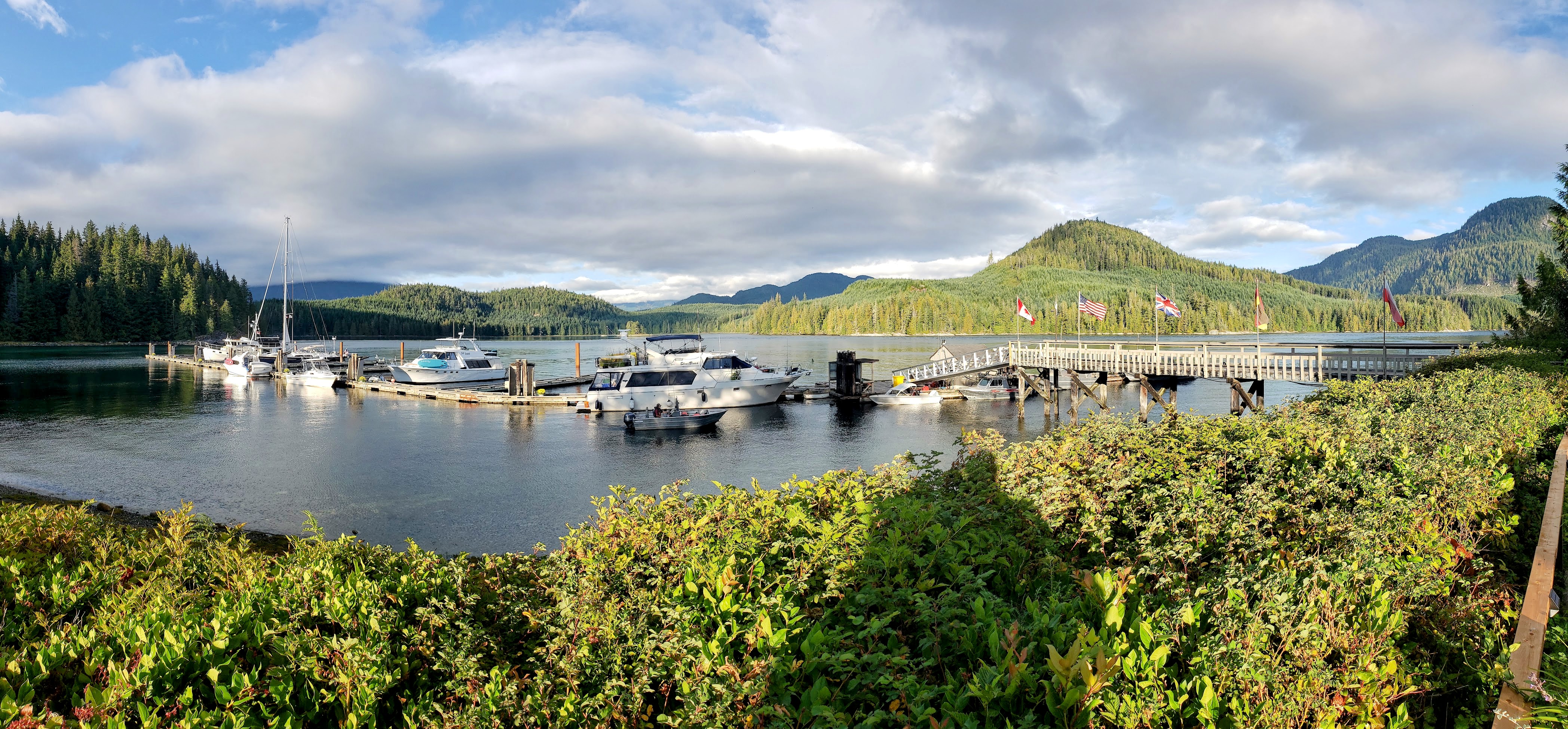
Blind Channel
Discovery Islands
Coordinates Decimal: 50.414, -125.499
Coordinates Degrees Minutes Seconds(DMS): 50° 24′ 49.320″N, -126° 30′ 5.040″W
Come for the moorage, stay for the schnitzel. What an amazing restaurant.
It is certainly worth visiting the Blind Channel Resort just for the restaurant.
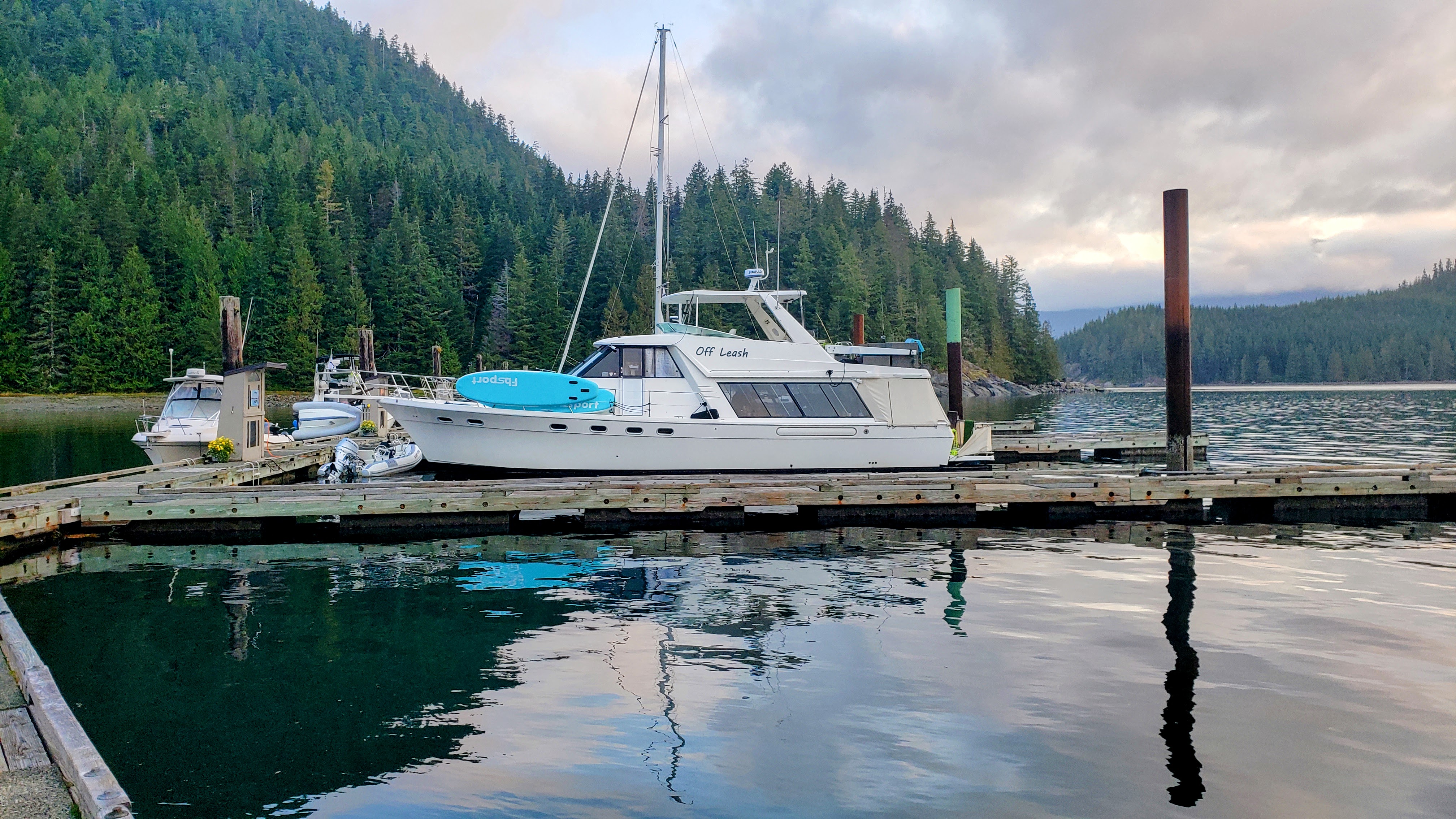 Blind Channel |
Day 6: Blind Channel Resort to Hanfield Bay
Travel distance: 18.9
Nights staying: 1
Your Destination Hanfield Bay
Desolation Sound
Coordinates Decimal: 50.350, -125.317
Coordinates Degrees Minutes Seconds(DMS): 50° 21′ 0.000″N, -126° 41′ 0.600″W
Day 7: Hanfield Bay to Hemming Bay
Travel distance: 4.0
Nights staying: 1
Your Destination Hemming Bay
Desolation Sound
Coordinates Decimal: 50.389, -125.373
Coordinates Degrees Minutes Seconds(DMS): 50° 23′ 20.400″N, -126° 37′ 37.200″W
Day 8: Hemming Bay to Campbell River
Travel distance: 29.0
Nights staying: 0
Your Destination Campbell River
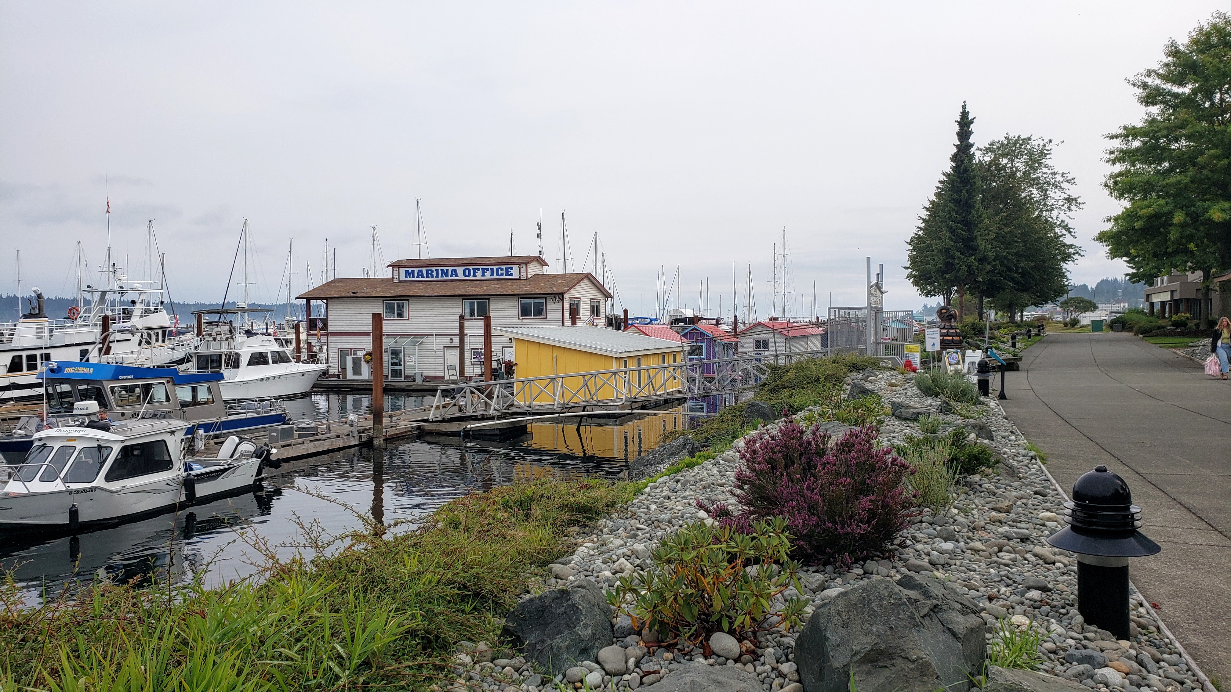
Campbell River Marina.
Campbell River
Coordinates Decimal: 50.036, -125.243
Coordinates Degrees Minutes Seconds(DMS): 50° 2′ 9.960″N, -126° 45′ 27.000″W
 Campbell River Marina. |
Download this this route and other routes in the Gulf Island, Desolation Sound and The Broughtons. Download so you can use them offline on your phone, tablet, or laptop when you cruising.
https://bc.boatinglocations.com/route-downloads/
